Directions to Flowsoftware de Mexico (San Gregorio Atzompa) with public transportation
The following transit lines have routes that pass near Flowsoftware de Mexico
How to get to Flowsoftware de Mexico by bus?
Click on the bus route to see step by step directions with maps, line arrival times and updated time schedules.
From Avenida San Claudio, Puebla
53 minFrom Panteón La Puerta del Cielo, San Pedro Cholula
57 minFrom Torre medica de especialidades Hospital Universitario de Puebla, San Andrés Cholula
38 minFrom Uvp Campus Puebla Complejo Aztlán, San Andrés Cholula
51 minFrom Facultad De Derecho Y Ciencias Sociales Buap, Puebla
58 minFrom Villa Frontera, Puebla
52 minFrom La Oriental, Puebla
48 minFrom Hacienda de Covadonga, Puebla
51 minFrom segovia, San Andrés Cholula
50 minFrom San Ildefonso Hueyotlipan tlaxcala, Juan C. Bonilla
27 min
Bus stops near Flowsoftware de Mexico in San Gregorio Atzompa
Bus lines to Flowsoftware de Mexico in San Gregorio Atzompa
What are the closest stations to Flowsoftware de Mexico?
The closest stations to Flowsoftware de Mexico are:
- Ruta Quetzalcóatl is 268 meters away, 4 min walk.
- Getsemaní - Ruta Quetzalcóatl is 435 meters away, 6 min walk.
- Calle Chichimeca Poniente, 122b is 615 meters away, 8 min walk.
- Recta A Cholula is 643 meters away, 9 min walk.
- Ruta Quetzalcóatl, 26 is 749 meters away, 10 min walk.
Which bus lines stop near Flowsoftware de Mexico?
These bus lines stop near Flowsoftware de Mexico: LINEA 4, RECORRIDO 4, RUTA M7, RUTA PUEBLA-CHOLULA.
What’s the nearest bus station to Flowsoftware de Mexico in San Gregorio Atzompa?
The nearest bus station to Flowsoftware de Mexico in San Gregorio Atzompa is Ruta Quetzalcóatl. It’s a 4 min walk away.
What time is the first bus to Flowsoftware de Mexico in San Gregorio Atzompa?
The LINEA 4 is the first bus that goes to Flowsoftware de Mexico in San Gregorio Atzompa. It stops nearby at 5:21 AM.
What time is the last bus to Flowsoftware de Mexico in San Gregorio Atzompa?
The LINEA 4 is the last bus that goes to Flowsoftware de Mexico in San Gregorio Atzompa. It stops nearby at 11:19 PM.
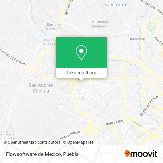
See Flowsoftware de Mexico, San Gregorio Atzompa, on the map
Public Transit to Flowsoftware de Mexico in San Gregorio Atzompa
Wondering how to get to Flowsoftware de Mexico in San Gregorio Atzompa? Moovit helps you find the best way to get to Flowsoftware de Mexico with step-by-step directions from the nearest public transit station.
Moovit provides free maps and live directions to help you navigate through your city. View schedules, routes, timetables, and find out how long does it take to get to Flowsoftware de Mexico in real time.
Looking for the nearest stop or station to Flowsoftware de Mexico? Check out this list of stops closest to your destination: Ruta Quetzalcóatl; Getsemaní - Ruta Quetzalcóatl; Calle Chichimeca Poniente; Recta A Cholula; Ruta Quetzalcóatl.
Bus: LINEA 4, RECORRIDO 4, RUTA M7, RUTA PUEBLA-CHOLULA, RUTA TRANSPORTES.
Want to see if there’s another route that gets you there at an earlier time? Moovit helps you find alternative routes or times. Get directions from and directions to Flowsoftware de Mexico easily from the Moovit App or Website.
We make riding to Flowsoftware de Mexico easy, which is why over 1.5 million users, including users in San Gregorio Atzompa, trust Moovit as the best app for public transit. You don’t need to download an individual bus app or train app, Moovit is your all-in-one transit app that helps you find the best bus time or train time available.
For information on prices of bus, costs and ride fares to Flowsoftware de Mexico, please check the Moovit app.
Use the app to navigate to popular places including to the airport, hospital, stadium, grocery store, mall, coffee shop, school, college, and university.
Flowsoftware de Mexico Address: Flowsoftware de Mexico, Calle Citlalli 13, Fracc Quetzalli, 72814 Puebla, Puebla street in San Gregorio Atzompa
- Centro de Integración Social y Atención Psicológica (CISAP),
- Corporativo Free and Green,
- El Traspatio Restaurante Italo-Mexicano,
- Escuela Maternal Daniel Delgadillo,
- Amorcito Corazón,
- JARDINES DEL BARREAL, fiestas y eventos,
- Expo Tatuaje Cholula,
- Deportivo Chapultepec Deportivo Familia Volkswagen,
- Charro Housing Cholula,
- Ex Hacienda Santa Teresa,
- Promeim,
- Motel Rain,
- Cholula Center,
- Pirámide Spersa,
- Camino Real A Los Cipreses,
- Conjunto Hab San José Momoxpan,
- UNIDAD DEPORTIVA VOLKSWAGEN,
- Club Deportivo Familia Volkswagen de México,
- Registro Público de la Propiedad y del Comercio de Cholula,
- Instituto Registral y Catastral
Places Near Flowsoftware de Mexico (San Gregorio Atzompa)
- 25 Zona Militar, Puebla,
- SAT, San Andrés Cholula,
- Hospital Traumatología y Ortopedia de Puebla, San Pedro Cholula,
- Parque Puebla, Puebla,
- Estadio Cuauhtémoc, Puebla,
- Hospital General Regional 36 IMSS San Alejandro, San Andrés Cholula,
- Centro Comercial Angelópolis, San Andrés Cholula,
- Parque Ecologico, Pue., San Andrés Cholula,
- Centro Integral de Servicios CIS, San Andrés Cholula,
- Galerías Serdán, San Pedro Cholula,
- Plaza Las Animas, Puebla,
- Hospital Imss La Margarita, Puebla,
- Secretaria de Finanzas, Puebla,
- Centro de Desarrollo Comunitario Tres Cruces, Puebla,
- Plaza Dorada Centro Comercial, Puebla,
- Zona de los Fuertes, Puebla,
- Ciudad Universitaria, Puebla,
- Tres Cruces, Puebla,
- Complejo Cultural Universitario, Ocoyucan,
- Ciudad Judicial del Estado de Puebla, San Andrés Cholula
How to get to popular places in Puebla with public transit
Get around San Gregorio Atzompa by public transit!
Traveling around San Gregorio Atzompa has never been so easy. See step by step directions as you travel to any attraction, street or major public transit station. View bus and train schedules, arrival times, service alerts and detailed routes on a map, so you know exactly how to get to anywhere in San Gregorio Atzompa.
When traveling to any destination around San Gregorio Atzompa use Moovit's Live Directions with Get Off Notifications to know exactly where and how far to walk, how long to wait for your line, and how many stops are left. Moovit will alert you when it's time to get off — no need to constantly re-check whether yours is the next stop.
Wondering how to use public transit in San Gregorio Atzompa or how to pay for public transit in San Gregorio Atzompa? Moovit public transit app can help you navigate your way with public transit easily, and at minimum cost. It includes public transit fees, ticket prices, and costs. Looking for a map of San Gregorio Atzompa public transit lines? Moovit public transit app shows all public transit maps in San Gregorio Atzompa with all bus routes and stops on an interactive map.
Puebla has 1 transit type(s), including: bus, operated by several transit agencies, including RUTA, RUTA Alimentadoras, Rutas Convencionales and Líneas temporales