Fosso Osa/Crognaleto stop - Wednesday schedule
| Line | Direction | Time |
|---|---|---|
| 051 | Grotte Celoni | 5:06 AM |
| 051 | Grotte Celoni | 5:26 AM |
| 045 | Grotte Celoni | 5:45 AM |
| 051 | Grotte Celoni | 5:46 AM |
| 051 | Grotte Celoni | 6:06 AM |
| 045 | Grotte Celoni | 6:10 AM |
| 051 | Grotte Celoni | 6:26 AM |
| 045 | Grotte Celoni | 6:35 AM |
| 314 | Rotello | 6:35 AM |
| 051 | Grotte Celoni | 6:48 AM |
| 314 | Rotello | 6:51 AM |
| 045 | Grotte Celoni | 6:58 AM |
| 051 | Grotte Celoni | 7:10 AM |
| 314 | Rotello | 7:10 AM |
| 045 | Grotte Celoni | 7:18 AM |
| 051 | Grotte Celoni | 7:32 AM |
| 314 | Rotello | 7:33 AM |
| 045 | Grotte Celoni | 7:38 AM |
| 051 | Grotte Celoni | 7:55 AM |
| 314 | Rotello | 7:56 AM |
| 045 | Grotte Celoni | 8:02 AM |
| 051 | Grotte Celoni | 8:17 AM |
| 314 | Rotello | 8:24 AM |
| 045 | Grotte Celoni | 8:24 AM |
| 051 | Grotte Celoni | 8:38 AM |
Directions to Fosso Osa/Crognaleto stop (Roma) with public transit
The following transit lines have routes that pass near Fosso Osa/Crognaleto
 Bus: 045, 051, 314, 042, 055.
- Train: R, RV, FL2.
How to get to Fosso Osa/Crognaleto stop by bus?
Click on the bus route to see step by step directions with maps, line arrival times and updated time schedules.
How to get to Fosso Osa/Crognaleto stop by train?
Click on the train route to see step by step directions with maps, line arrival times and updated time schedules.
Bus stops near Fosso Osa/Crognaleto stop in Roma
- Fosso Osa/Crognaleto, 2 min walk,
- Massa San Giuliano/Scerni, 31 min walk,
Train stations near Fosso Osa/Crognaleto station in Roma
- Ponte Di Nona, 14 min walk,
Bus lines to Fosso Osa/Crognaleto stop in Roma
- 045, Ortona Dei Marsi via Montenerodomo,
- 051, Grotte Celoni,
- 314, Rotello,
- 042, San Vittorino,
- 055, D'Ascanio,
What are the closest stations to Fosso Osa/Crognaleto?
The closest stations to Fosso Osa/Crognaleto are:
- Fosso Osa/Crognaleto stop is 113 meters away, 2 min walk.
- Ponte Di Nona station is 1059 meters away, 14 min walk.
- Massa San Giuliano/Scerni stop is 2390 meters away, 31 min walk.
Which bus lines stop near Fosso Osa/Crognaleto?
These bus lines stop near Fosso Osa/Crognaleto: 045, 051, 314.
Which train line stops near Fosso Osa/Crognaleto?
R (Avezzano)
What’s the nearest train station to Fosso Osa/Crognaleto in Roma?
The nearest train station to Fosso Osa/Crognaleto in Roma is Ponte Di Nona. It’s a 14 min walk away.
What’s the nearest bus station to Fosso Osa/Crognaleto in Roma?
The nearest bus station to Fosso Osa/Crognaleto in Roma is Fosso Osa/Crognaleto. It’s a 2 min walk away.
What time is the first train to Fosso Osa/Crognaleto in Roma?
The FL2 is the first train that goes to Fosso Osa/Crognaleto in Roma. It stops nearby at 6:16 AM.
What time is the last train to Fosso Osa/Crognaleto in Roma?
The R is the last train that goes to Fosso Osa/Crognaleto in Roma. It stops nearby at 11:05 PM.
What time is the first bus to Fosso Osa/Crognaleto in Roma?
The 051 is the first bus that goes to Fosso Osa/Crognaleto in Roma. It stops nearby at 5:05 AM.
What time is the last bus to Fosso Osa/Crognaleto in Roma?
The 314 is the last bus that goes to Fosso Osa/Crognaleto in Roma. It stops nearby at 2:44 AM.
Fosso Osa/Crognaleto station
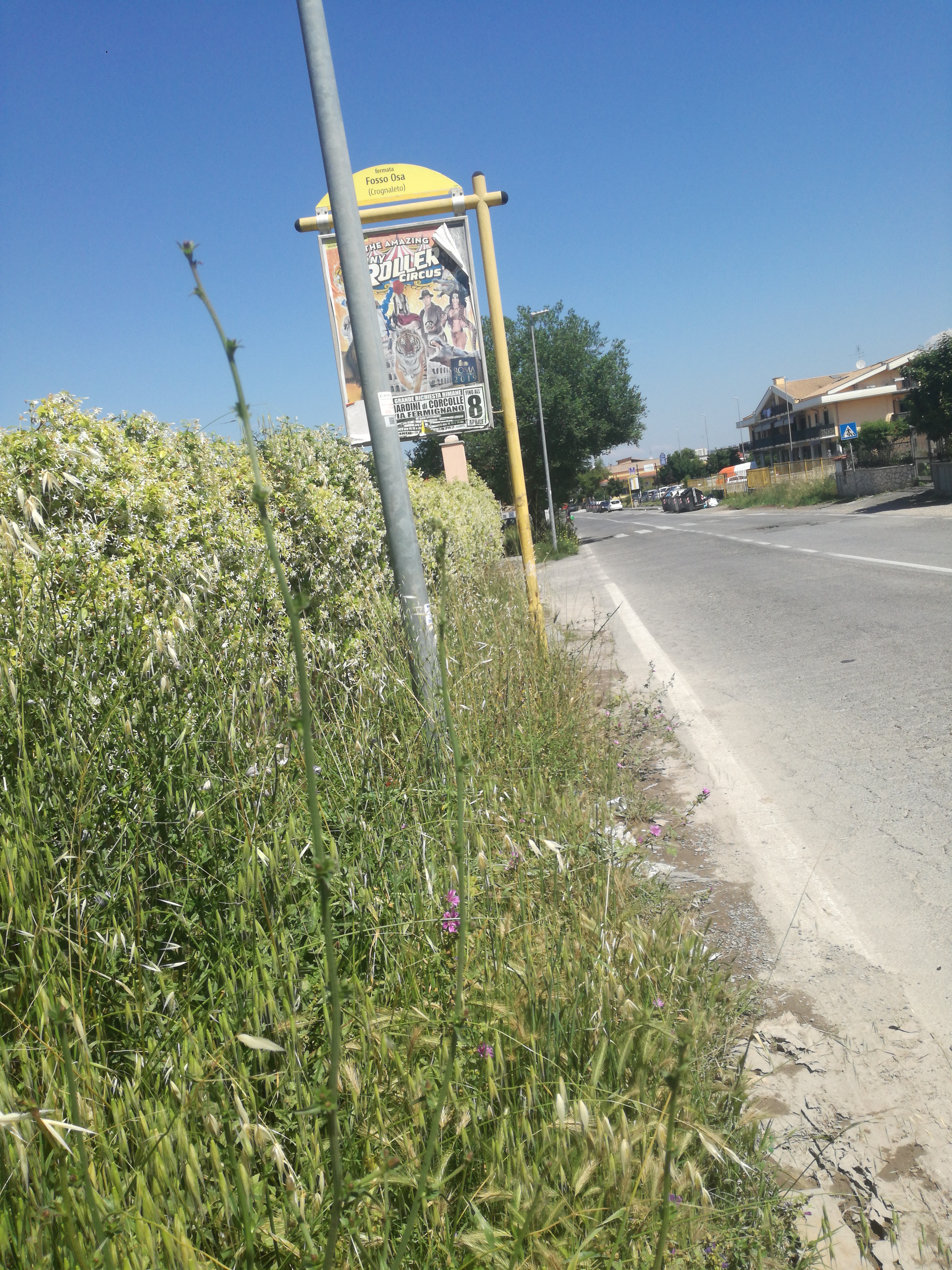 Taken by Anonymous
See Fosso Osa/Crognaleto stop, Roma, on the map
Public transit to Fosso Osa/Crognaleto stop (ID: 76281) in Roma
Looking for directions to Fosso Osa/Crognaleto in Roma, Italy?
Download the Moovit App to find the current schedule and step-by-step directions for Bus or Train routes that pass through Fosso Osa/Crognaleto.
Looking for the nearest stops closest to Fosso Osa/Crognaleto ? Check out this list of closest stops to your destination: Fosso Osa/Crognaleto; Ponte Di Nona; Massa San Giuliano/Scerni.
Bus: 045, 051, 314, 042, 055.Train: R, RV, FL2.
We make riding on public transit to Fosso Osa/Crognaleto easy, which is why over 1.7 billion users, including users in Roma trust Moovit as the best app for public transit.
Use the app to navigate to popular places including to the airport, hospital, stadium, grocery store, mall, coffee shop, school, college, and university.
Fosso Osa/Crognaleto stop’s code is 76281
The first line to this stop is 051, at 5:06 AM, and the last line is 314 at 2:31 AM.
This stop serves Troiani Transportation Services and ATAC’s lines
- Fosso Osa/Crognaleto,
- Massa San Giuliano/Scerni
Bus stops near Fosso Osa/Crognaleto stop
- Ponte Di Nona
Train station near Fosso Osa/Crognaleto station
- Castel Di Tora via Don Gentili,
- Nomentana/Trieste,
- Portonaccio/Tiburtina,
- Aurelia/Richelmy,
- Goito/XX September,
- Casal Bruciato/Zampieri,
- Portonaccio/Casal Bertone,
- Marechiaro,
- Anagni | Via Casilina Via Anticolana,
- San Giovanni,
- 2 San Pietro Street,
- Anagnina/Sette Metri,
- Marinetti/Rebora,
- Arcinazzo | Highlands,
- Costamagna,
- Largo Pugliese,
- Anzio | Cincinnato Beach,
- Albalonga,
- Rieti | Lower Cottano,
- Rome | Tor Vergata University (Medical School)
Popular public transit stations in Roma
Get around Roma by public transit!
Traveling around Roma has never been so easy. See step by step directions as you travel to any attraction, street or major public transit station. View bus and train schedules, arrival times, service alerts and detailed routes on a map, so you know exactly how to get to anywhere in Roma.
When traveling to any destination around Roma use Moovit's Live Directions with Get Off Notifications to know exactly where and how far to walk, how long to wait for your line, and how many stops are left. Moovit will alert you when it's time to get off — no need to constantly re-check whether yours is the next stop.
Wondering how to use public transit in Roma or how to pay for public transit in Roma? Moovit public transit app can help you navigate your way with public transit easily, and at minimum cost. It includes public transit fees, ticket prices, and costs. Looking for a map of Roma public transit lines? Moovit public transit app shows all public transit maps in Roma with all Bus, Train, Metro, Light Rail, Ferry, Funicular and Gondola routes and stops on an interactive map.
Rome and Lazio has 7 transit type(s), including: Bus, Train, Metro, Light Rail, Ferry, Funicular and Gondola, operated by several transit agencies, including ATAC, Cotral, Trenitalia, Troiani Transportation Services, BIS, ATR Mobility, Tuscia, Shuttle, Seatour, Troiani Bus Lines, CSC Mobility, Terravision, ATRAL, Tambus and Sitbus