Directions to Fraccionamiento El Refugio (Ocoyucan) with public transportation
The following transit lines have routes that pass near Fraccionamiento El Refugio
 Bus: CORREDOR 16 DE SEPTIEMBRE, RUTA 25 NVE, A26, A29, RUTA 4.
How to get to Fraccionamiento El Refugio by bus?
Click on the bus route to see step by step directions with maps, line arrival times and updated time schedules.
From Subdelegación Sur IMSS, San Andrés Cholula
63 minFrom Camino Real a Cholula, San Gregorio Atzompa
73 minFrom Tonantzintla (Santa Maria Tonantzintla), San Andrés Cholula
48 minFrom Tres Cruces, Puebla
48 minFrom Antiguo Camino Real a Cholula 4232, San Gregorio Atzompa
73 minFrom Audi México, S.A. de C.V., San Andrés Cholula
53 minFrom Hospital Imss La Margarita, Puebla
51 minFrom RUTA: Paseo Bravo, San Andrés Cholula
49 minFrom Laguna de Atlangatepec, Santa Isabel Cholula
52 minFrom Ciudad Judicial del Estado de Puebla, San Andrés Cholula
30 min
Bus stops near Fraccionamiento El Refugio in Ocoyucan
Bus lines to Fraccionamiento El Refugio in Ocoyucan
What are the closest stations to Fraccionamiento El Refugio?
The closest stations to Fraccionamiento El Refugio are:
- Avenida Popocatépetl, Lt40mz10 is 39 meters away, 1 min walk.
- Chilpancingo, 14143 is 362 meters away, 5 min walk.
- Avenida 3 Sur, 14182 is 375 meters away, 5 min walk.
- Chilpancingo, 14129 is 409 meters away, 6 min walk.
Which bus lines stop near Fraccionamiento El Refugio?
These bus lines stop near Fraccionamiento El Refugio: CORREDOR 16 DE SEPTIEMBRE, RUTA 25 NVE.
What’s the nearest bus station to Fraccionamiento El Refugio in Ocoyucan?
The nearest bus station to Fraccionamiento El Refugio in Ocoyucan is Avenida Popocatépetl, Lt40mz10. It’s a 1 min walk away.
What time is the first bus to Fraccionamiento El Refugio in Ocoyucan?
The RA26 is the first bus that goes to Fraccionamiento El Refugio in Ocoyucan. It stops nearby at 4:19 AM.
What time is the last bus to Fraccionamiento El Refugio in Ocoyucan?
The RA26 is the last bus that goes to Fraccionamiento El Refugio in Ocoyucan. It stops nearby at 12:01 AM.
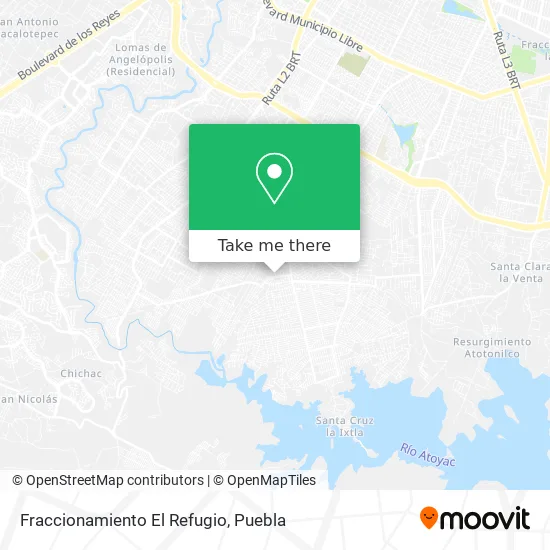
See Fraccionamiento El Refugio, Ocoyucan, on the map
Public Transit to Fraccionamiento El Refugio in Ocoyucan
Wondering how to get to Fraccionamiento El Refugio in Ocoyucan? Moovit helps you find the best way to get to Fraccionamiento El Refugio with step-by-step directions from the nearest public transit station.
Moovit provides free maps and live directions to help you navigate through your city. View schedules, routes, timetables, and find out how long does it take to get to Fraccionamiento El Refugio in real time.
Looking for the nearest stop or station to Fraccionamiento El Refugio? Check out this list of stops closest to your destination: Avenida Popocatépetl; Chilpancingo; Avenida 3 Sur; Chilpancingo.
Bus: CORREDOR 16 DE SEPTIEMBRE, RUTA 25 NVE, A26, A29, RUTA 4, RA26.
Want to see if there’s another route that gets you there at an earlier time? Moovit helps you find alternative routes or times. Get directions from and directions to Fraccionamiento El Refugio easily from the Moovit App or Website.
We make riding to Fraccionamiento El Refugio easy, which is why over 1.5 million users, including users in Ocoyucan, trust Moovit as the best app for public transit. You don’t need to download an individual bus app or train app, Moovit is your all-in-one transit app that helps you find the best bus time or train time available.
For information on prices of bus, costs and ride fares to Fraccionamiento El Refugio, please check the Moovit app.
Use the app to navigate to popular places including to the airport, hospital, stadium, grocery store, mall, coffee shop, school, college, and university.
Fraccionamiento El Refugio Address: Puebla, Puebla street in Ocoyucan
- Tlapaleria Necaxa,
- Distribuidora de Perfumes,
- Frutas y Verduras El Panfi,
- Renovadora de Calzado,
- Tienda Moy,
- Miscelana Yaretzi,
- Centro Kumon El Refugio,
- Catálogos Pakar,
- WESTERN UNION,
- Unidad Hab Magisterial,
- Coppel Balcones,
- Fraccionamiento Magisterial Periferico Sur,
- Coppel Balcones del Sur 348,
- Centro de Desarrollo Comunitario Habitat Snte,
- Telebachillerato Comunitario N. 66,
- Cremeria Cedro Viejo, s de R.L. de C.V,
- La Gran Bodega Balcones,
- Emiliano Zapata,
- Puesto de Periodicos y Revistas Martinez,
- Gran Bodega Balcones del Sur
Places Near Fraccionamiento El Refugio (Ocoyucan)
- 25 Zona Militar, Puebla,
- Galerías Serdán, San Pedro Cholula,
- Hospital Imss La Margarita, Puebla,
- Secretaria de Finanzas, Puebla,
- Plaza Dorada Centro Comercial, Puebla,
- Ciudad Universitaria, Puebla,
- SAT, San Andrés Cholula,
- Parque Ecologico, Pue., San Andrés Cholula,
- Centro de Desarrollo Comunitario Tres Cruces, Puebla,
- Hospital General Regional 36 IMSS San Alejandro, San Andrés Cholula,
- Complejo Cultural Universitario, Ocoyucan,
- Parque Puebla, Puebla,
- Ciudad Judicial del Estado de Puebla, San Andrés Cholula,
- Plaza Las Animas, Puebla,
- Zona de los Fuertes, Puebla,
- Hospital Traumatología y Ortopedia de Puebla, San Pedro Cholula,
- Centro Integral de Servicios CIS, San Andrés Cholula,
- Centro Comercial Angelópolis, San Andrés Cholula,
- Tres Cruces, Puebla,
- Estadio Cuauhtémoc, Puebla
How to get to popular places in Puebla with public transit
Get around Ocoyucan by public transit!
Traveling around Ocoyucan has never been so easy. See step by step directions as you travel to any attraction, street or major public transit station. View bus and train schedules, arrival times, service alerts and detailed routes on a map, so you know exactly how to get to anywhere in Ocoyucan.
When traveling to any destination around Ocoyucan use Moovit's Live Directions with Get Off Notifications to know exactly where and how far to walk, how long to wait for your line, and how many stops are left. Moovit will alert you when it's time to get off — no need to constantly re-check whether yours is the next stop.
Wondering how to use public transit in Ocoyucan or how to pay for public transit in Ocoyucan? Moovit public transit app can help you navigate your way with public transit easily, and at minimum cost. It includes public transit fees, ticket prices, and costs. Looking for a map of Ocoyucan public transit lines? Moovit public transit app shows all public transit maps in Ocoyucan with all bus routes and stops on an interactive map.
Puebla has 1 transit type(s), including: bus, operated by several transit agencies, including RUTA, RUTA Alimentadoras, Rutas Convencionales and Líneas temporales