Directions to Frame Factory and Gallery (Harrisonburg) with public transportation
The following transit lines have routes that pass near Frame Factory and Gallery
 Bus: BRCC NORTH, 5, 5-B, EXT 5, 1.
Bus stops near Frame Factory and Gallery in Harrisonburg
Bus lines to Frame Factory and Gallery in Harrisonburg
- 5, Route 5,VIEW
- 5-B, Route 5-B,VIEW
- EXT 5, Extended Route 5,VIEW
- 1, Route 1,VIEW
- 1-B, Route 1-B,VIEW
- EXT 1, Extended Route 1,VIEW
- 4, Route 4,VIEW
- 4-B, Route 4-B,VIEW
- EXT 4, Extended Route 4,VIEW
- 3, Route 3,VIEW
- 3-B, Route 3-B,VIEW
- EXT 3, Extended Route 3,VIEW
- 6, Route 6,VIEW
- 6-B, Route 6-B,VIEW
- EXT 6, Extended Route 6,VIEW
- 2, Route 2,VIEW
- 2-B, Route 2-B,VIEW
- EXT 2, Extended Route 2,VIEW
- Immerge,
- Edward Jones - Financial Advisor: Morgan B Eye,
- Personal Injury Attorney,
- Big Valley Law,
- Miner Martin & Hahn,
- Journey Counseling,
- It Decisions,
- Armentrout Accident and Injury Law,
- Big Valley Law, Martin & Hahn, Pllc,
- The Frame Factory & Gallery,
- Horizon Gifts & Board Games,
- Horizon Gifts,
- Aristocat Cafe,
- Shen-Valley Band Instrument Service,
- B.C. Lox & Keys,
- Liberty St. Tattoos,
- Dinamic Cuts & Styles,
- Mashita,
- News & Press Restaurant & Catering V Restaurant,
- Allstate
Places Near Frame Factory and Gallery (Harrisonburg)
- Amazon Hq2, Arlington County,
- National Zoo, Washington,
- Warner Theatre, Washington,
- M&T Bank Stadium, Baltimore,
- Washington DC VA Medical Center, Washington,
- National Theatre, Washington,
- PG Mall, Prince George's County,
- Museum Of The Bible, Washington,
- Camden Yards, Baltimore,
- Sibley Memorial Hospital, Washington,
- Rock Creek Tennis Center, Washington,
- Marriott Marquis Washington, DC, Washington,
- Pennsylvania Ave NW (3rd st and pennsylvania), Washington,
- Washington National Cathedral, Washington,
- Basilica of the National Shrine, Washington,
- Georgetown, Washington,
- Westfield Montgomery Mall, Montgomery County,
- The Anthem, Washington,
- National Museum of African American History and Culture, Washington,
- Capital One Arena, Washington
How to get to popular places in Washington, D.C. - Baltimore, MD with public transit
What are the closest stations to Frame Factory and Gallery?
The closest stations to Frame Factory and Gallery are:
- North Liberty St. @ Third St. is 253 yards away, 4 min walk.
- South Main St. @ Court Square is 340 yards away, 5 min walk.
- West Gay St. @ Collicello St. is 521 yards away, 7 min walk.
- East Market St. @ Mason St. (West) is 597 yards away, 8 min walk.
- East Market St. @ Urban Exchange is 630 yards away, 8 min walk.
Which bus line stops near Frame Factory and Gallery?
BRCC NORTH (Brcc)
What’s the nearest bus station to Frame Factory and Gallery in Harrisonburg?
The nearest bus station to Frame Factory and Gallery in Harrisonburg is North Liberty St. @ Third St.. It’s a 4 min walk away.
What time is the first bus to Frame Factory and Gallery in Harrisonburg?
The 3 is the first bus that goes to Frame Factory and Gallery in Harrisonburg. It stops nearby at 6:30 AM.
What time is the last bus to Frame Factory and Gallery in Harrisonburg?
The 2-B is the last bus that goes to Frame Factory and Gallery in Harrisonburg. It stops nearby at 10:46 PM.
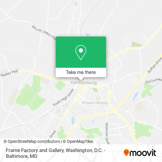
See Frame Factory and Gallery, Harrisonburg, on the map
Public Transit to Frame Factory and Gallery in Harrisonburg
Wondering how to get to Frame Factory and Gallery in Harrisonburg? Moovit helps you find the best way to get to Frame Factory and Gallery with step-by-step directions from the nearest public transit station.
Moovit provides free maps and live directions to help you navigate through your city. View schedules, routes, timetables, and find out how long does it take to get to Frame Factory and Gallery in real time.
Looking for the nearest stop or station to Frame Factory and Gallery? Check out this list of stops closest to your destination: North Liberty St. @ Third St.; South Main St. @ Court Square; West Gay St. @ Collicello St.; East Market St. @ Mason St. (West); East Market St. @ Urban Exchange.
Bus: BRCC NORTH, 5, 5-B, EXT 5, 1, 1-B, EXT 1, 4, 4-B, 3, 3-B, EXT 3, 6, 6-B, EXT 6, 2, 2-B, EXT 2.
Want to see if there’s another route that gets you there at an earlier time? Moovit helps you find alternative routes or times. Get directions from and directions to Frame Factory and Gallery easily from the Moovit App or Website.
We make riding to Frame Factory and Gallery easy, which is why over 1.5 million users, including users in Harrisonburg, trust Moovit as the best app for public transit. You don’t need to download an individual bus app or train app, Moovit is your all-in-one transit app that helps you find the best bus time or train time available.
For information on prices of train and bus, costs and ride fares to Frame Factory and Gallery, please check the Moovit app.
Use the app to navigate to popular places including to the airport, hospital, stadium, grocery store, mall, coffee shop, school, college, and university.
Frame Factory and Gallery Address: 139 N Liberty St Harrisonburg, VA 22802 street in Harrisonburg
Get around Harrisonburg by public transit!
Traveling around Harrisonburg has never been so easy. See step by step directions as you travel to any attraction, street or major public transit station. View bus and train schedules, arrival times, service alerts and detailed routes on a map, so you know exactly how to get to anywhere in Harrisonburg.
When traveling to any destination around Harrisonburg use Moovit's Live Directions with Get Off Notifications to know exactly where and how far to walk, how long to wait for your line, and how many stops are left. Moovit will alert you when it's time to get off — no need to constantly re-check whether yours is the next stop.
Wondering how to use public transit in Harrisonburg or how to pay for public transit in Harrisonburg? Moovit public transit app can help you navigate your way with public transit easily, and at minimum cost. It includes public transit fees, ticket prices, and costs. Looking for a map of Harrisonburg public transit lines? Moovit public transit app shows all public transit maps in Harrisonburg with all Bus, Train, Metro, Light Rail and Ferry routes and stops on an interactive map.
Washington, D.C. - Baltimore, MD has 5 transit type(s), including: Bus, Train, Metro, Light Rail and Ferry, operated by several transit agencies, including WMATA, Montgomery County Ride On, Fairfax Connector, TheBus, PRTC, DASH - Alexandria, Arlington Transit (ART), RTA of Central Maryland, MDOT MTA, MDOT MTA Light RailLink, MDOT MTA Commuter Bus, MDOT MTA Local Bus, FXBGO!, Virginia Railway Express (VRE) and MARC