How to get to Free To Be Boating by bus?
Click on the bus route to see step by step directions with maps, line arrival times and updated time schedules.
From W Commercial Blvd & 441 (SR 7), Fort Lauderdale
74 minFrom The Casino at Dania Beach (Dania Jai-alai), Hollywood
79 minFrom Trapeze Swing Club, Fort Lauderdale
83 minFrom Florida Turnpike Sunrise Blvd. Toll Plaza, Plantation
71 minFrom Inter Miami CF, Fort Lauderdale
71 minFrom Walmart Supercenter, Pompano Beach
104 minFrom Walmart Supercenter, Fort Lauderdale
69 minFrom Xtreme Action Park, Fort Lauderdale
83 minFrom Embassy Suites-Fort Lauderdale (Embassy Suites by Hilton Fort Lauderdale 17th Street), Fort Lauderdale
46 minFrom Fort Lauderdale-Hollywood International Airport (FLL) (Fort Lauderdale-Hollywood International Airpo, Hollywood
77 min
Bus stops near Free To Be Boating in Fort Lauderdale
Bus lines to Free To Be Boating in Fort Lauderdale
What are the closest stations to Free To Be Boating?
The closest stations to Free To Be Boating are:
- Sunrise Boulevard/Northeast 25th Avenue is 1545 yards away, 19 min walk.
- Galleria Mall is 1610 yards away, 20 min walk.
- A1A/Birch Park Underpass is 2717 yards away, 32 min walk.
Which bus lines stop near Free To Be Boating?
These bus lines stop near Free To Be Boating: 10, 36, 40.
What time is the first bus to Free To Be Boating in Fort Lauderdale?
The 11 is the first bus that goes to Free To Be Boating in Fort Lauderdale. It stops nearby at 4:56 AM.
What time is the last bus to Free To Be Boating in Fort Lauderdale?
The 36 is the last bus that goes to Free To Be Boating in Fort Lauderdale. It stops nearby at 12:26 AM.
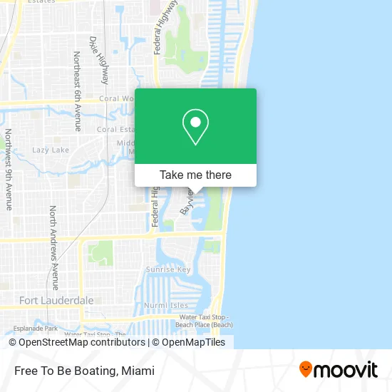
See Free To Be Boating, Fort Lauderdale, on the map
Public Transit to Free To Be Boating in Fort Lauderdale
Wondering how to get to Free To Be Boating in Fort Lauderdale? Moovit helps you find the best way to get to Free To Be Boating with step-by-step directions from the nearest public transit station.
Moovit provides free maps and live directions to help you navigate through your city. View schedules, routes, timetables, and find out how long does it take to get to Free To Be Boating in real time.
Looking for the nearest stop or station to Free To Be Boating? Check out this list of stops closest to your destination: Sunrise Boulevard/Northeast 25th Avenue; Galleria Mall; A1A/Birch Park Underpass.
Bus: 10, 36, 40, 11.
Want to see if there’s another route that gets you there at an earlier time? Moovit helps you find alternative routes or times. Get directions from and directions to Free To Be Boating easily from the Moovit App or Website.
We make riding to Free To Be Boating easy, which is why over 1.5 million users, including users in Fort Lauderdale, trust Moovit as the best app for public transit. You don’t need to download an individual bus app or train app, Moovit is your all-in-one transit app that helps you find the best bus time or train time available.
For information on prices of bus, costs and ride fares to Free To Be Boating, please check the Moovit app.
Use the app to navigate to popular places including to the airport, hospital, stadium, grocery store, mall, coffee shop, school, college, and university.
Free To Be Boating Address: 2740 NE 15th St street in Fort Lauderdale
- Luxury Real Estate Partners,
- BENTLEY Development Co,
- Hahne Real Estate,
- Modern House Real Estate,
- Albert Niels,
- Fort Lauderdale Real Estate and Homes,
- Tika van Den Hurk,
- Prime Real Estate Collection,
- Sunrise Bay Association,
- The Dettman Group,
- Bni Oceanside,
- Cleaning Kingdom,
- Adagio on the Bay,
- Charles Rutenberg Realty,
- Modern House Real Estate,
- Dr. Charles F. Halfpenny, Jr., MD,
- Ann Galinanes LCSW,
- Superyachts International,
- Limperis John MD,
- Moreth House
Places Near Free To Be Boating (Fort Lauderdale)
- Miami Design District, Miami,
- Sawgrass mall ( FL ), Miami Beach,
- Brickell City Centre, Miami,
- Miami Freedom Park, Miami,
- Port of Miami Cruise Terminal, Miami,
- Miami-Dade County Courthouse, Miami,
- Dolphin Mall, Miami,
- Wynwood, Miami,
- Bayside Marketplace, Miami,
- Miami VA Hospital, Miami,
- Zoo Miami, Miami,
- Richard E. Gerstein Justice Building, Miami,
- Aventura Mall, Miami Beach,
- Sawgrass Mall, Miami,
- Little Havana, Miami,
- Aventura Mall, Miami,
- Dolphin Mall Bus, Miami,
- Keiser University Flagship Campus, West Palm Beach,
- Hard Rock Stadium, Miami Gardens,
- Marlins Park, Miami
How to get to popular places in Miami with public transit
Get around Fort Lauderdale by public transit!
Traveling around Fort Lauderdale has never been so easy. See step by step directions as you travel to any attraction, street or major public transit station. View bus and train schedules, arrival times, service alerts and detailed routes on a map, so you know exactly how to get to anywhere in Fort Lauderdale.
When traveling to any destination around Fort Lauderdale use Moovit's Live Directions with Get Off Notifications to know exactly where and how far to walk, how long to wait for your line, and how many stops are left. Moovit will alert you when it's time to get off — no need to constantly re-check whether yours is the next stop.
Wondering how to use public transit in Fort Lauderdale or how to pay for public transit in Fort Lauderdale? Moovit public transit app can help you navigate your way with public transit easily, and at minimum cost. It includes public transit fees, ticket prices, and costs. Looking for a map of Fort Lauderdale public transit lines? Moovit public transit app shows all public transit maps in Fort Lauderdale with all Bus, Train, Light Rail and Ferry routes and stops on an interactive map.
Miami has 4 transit type(s), including: Bus, Train, Light Rail and Ferry, operated by several transit agencies, including Broward County Transit, Miami-Dade Transit, Metrorail, Palm Tran, Tri-Rail, Brightline, MARTY, City of Homestead Trolley, Key West Transit, Treasure Coast Connector, GoLine IRT, Amtrak, Greyhound-us, FlixBus-us and Aventura Express Shuttle Bus