How to get to Freska Clean by bus?
Click on the bus route to see step by step directions with maps, line arrival times and updated time schedules.
From VA Medical Center-Washington, Washington
53 minFrom Rock Creek Tennis Center, Washington
29 minFrom Georgetown Flea Market, Washington
67 minFrom William Hg Fitzgerald Tennis Center, Washington
34 minFrom Jack Rose Dining Saloon, Washington
46 minFrom Omni Shoreham Hotel, Washington
60 minFrom McKinley Technology High School, Washington
75 minFrom Le Diplomate, Washington
50 minFrom The Phillips Collection, Washington
56 minFrom Barcelona Wine Bar - 14th Street, Washington
51 min
How to get to Freska Clean by train?
Click on the train route to see step by step directions with maps, line arrival times and updated time schedules.
How to get to Freska Clean by metro?
Click on the metro route to see step by step directions with maps, line arrival times and updated time schedules.
From VA Medical Center-Washington, Washington
51 minFrom Jack Rose Dining Saloon, Washington
55 minFrom Omni Shoreham Hotel, Washington
47 minFrom McKinley Technology High School, Washington
44 minFrom Le Diplomate, Washington
47 minFrom The Phillips Collection, Washington
46 minFrom Barcelona Wine Bar - 14th Street, Washington
47 min
Bus stops near Freska Clean in Montgomery County
Metro station near Freska Clean in Montgomery County
- Takoma, 5 min walk,VIEW
Train station near Freska Clean in Montgomery County
- Silver Spring Marc Wb, 38 min walk,VIEW
Bus lines to Freska Clean in Montgomery County
What are the closest stations to Freska Clean?
The closest stations to Freska Clean are:
- Georgia Av+Noyes Dr is 129 yards away, 3 min walk.
- 2nd Ave & Noyes Dr is 241 yards away, 4 min walk.
- Takoma is 372 yards away, 5 min walk.
- 2nd Ave & 16th St is 551 yards away, 7 min walk.
- Silver Spring Marc Wb is 3215 yards away, 38 min walk.
Which bus lines stop near Freska Clean?
These bus lines stop near Freska Clean: 4, M20.
Which train line stops near Freska Clean?
MARC (Inbound - Brunswick)
Which metro line stops near Freska Clean?
RED (Glenmont)
What’s the nearest metro station to Freska Clean in Montgomery County?
The nearest metro station to Freska Clean in Montgomery County is Takoma. It’s a 5 min walk away.
What’s the nearest bus station to Freska Clean in Montgomery County?
The nearest bus station to Freska Clean in Montgomery County is Georgia Av+Noyes Dr. It’s a 3 min walk away.
What time is the first metro to Freska Clean in Montgomery County?
The RED is the first metro that goes to Freska Clean in Montgomery County. It stops nearby at 5:07 AM.
What time is the last metro to Freska Clean in Montgomery County?
The RED is the last metro that goes to Freska Clean in Montgomery County. It stops nearby at 12:31 AM.
What time is the first train to Freska Clean in Montgomery County?
The MARC is the first train that goes to Freska Clean in Montgomery County. It stops nearby at 5:51 AM.
What time is the last train to Freska Clean in Montgomery County?
The MARC is the last train that goes to Freska Clean in Montgomery County. It stops nearby at 7:37 PM.
What time is the first bus to Freska Clean in Montgomery County?
The M20 is the first bus that goes to Freska Clean in Montgomery County. It stops nearby at 4:19 AM.
What time is the last bus to Freska Clean in Montgomery County?
The 5 is the last bus that goes to Freska Clean in Montgomery County. It stops nearby at 2:03 AM.
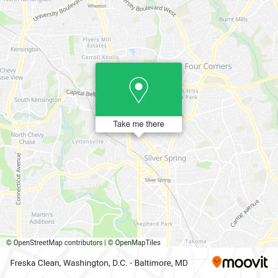
See Freska Clean, Montgomery County, on the map
Public Transit to Freska Clean in Montgomery County
Wondering how to get to Freska Clean in Montgomery County? Moovit helps you find the best way to get to Freska Clean with step-by-step directions from the nearest public transit station.
Moovit provides free maps and live directions to help you navigate through your city. View schedules, routes, timetables, and find out how long does it take to get to Freska Clean in real time.
Looking for the nearest stop or station to Freska Clean? Check out this list of stops closest to your destination: Georgia Av+Noyes Dr; 2nd Ave & Noyes Dr; Takoma; 2nd Ave & 16th St; Silver Spring Marc Wb.
Bus: 4, M20, 5.Train: MARC.Metro: RED.
Want to see if there’s another route that gets you there at an earlier time? Moovit helps you find alternative routes or times. Get directions from and directions to Freska Clean easily from the Moovit App or Website.
We make riding to Freska Clean easy, which is why over 1.5 million users, including users in Montgomery County, trust Moovit as the best app for public transit. You don’t need to download an individual bus app or train app, Moovit is your all-in-one transit app that helps you find the best bus time or train time available.
For information on prices of bus, metro and train, costs and ride fares to Freska Clean, please check the Moovit app.
Use the app to navigate to popular places including to the airport, hospital, stadium, grocery store, mall, coffee shop, school, college, and university.
Freska Clean Address: 1st Ave Silver Spring, MD 20910 street in Montgomery County
- Maryland Transport,
- Layni's Critter Care,
- Educational Sustainability Mobilization Dba Essentialnow,
- Lofton Law Firm,
- Theitgirlbraids,
- Mycols Cleaning Services,
- Jay's Waste Removal,
- Quick Fix Master Handyman Services,
- HMM Fence and Gates,
- Gibbons Wellness,
- Nicky's Housecleaning,
- TC Bin Cleaners,
- Colorful Clouds Balloons & More,
- Saloj Construction,
- MR. Electric of Bethesda,
- Push Beyond Limits,
- Katsouprinis Pizza Squared,
- Ches Contracting,
- Ahadu Janitorial Services,
- Jtciktransport
Places Near Freska Clean (Montgomery County)
- Marriott Marquis Washington, DC, Washington,
- Amazon Hq2, Arlington County,
- Georgetown, Washington,
- Warner Theatre, Washington,
- Capital One Arena, Washington,
- M&T Bank Stadium, Baltimore,
- Pennsylvania Ave NW (3rd st and pennsylvania), Washington,
- Basilica of the National Shrine, Washington,
- Washington National Cathedral, Washington,
- Museum Of The Bible, Washington,
- PG Mall, Prince George's County,
- Washington DC VA Medical Center, Washington,
- National Museum of African American History and Culture, Washington,
- Sibley Memorial Hospital, Washington,
- Rock Creek Tennis Center, Washington,
- The Anthem, Washington,
- National Mall, Washington,
- National Zoo, Washington,
- Camden Yards, Baltimore,
- Westfield Montgomery Mall, Montgomery County
How to get to popular places in Washington, D.C. - Baltimore, MD with public transit
Get around Montgomery County by public transit!
Traveling around Montgomery County has never been so easy. See step by step directions as you travel to any attraction, street or major public transit station. View bus and train schedules, arrival times, service alerts and detailed routes on a map, so you know exactly how to get to anywhere in Montgomery County.
When traveling to any destination around Montgomery County use Moovit's Live Directions with Get Off Notifications to know exactly where and how far to walk, how long to wait for your line, and how many stops are left. Moovit will alert you when it's time to get off — no need to constantly re-check whether yours is the next stop.
Wondering how to use public transit in Montgomery County or how to pay for public transit in Montgomery County? Moovit public transit app can help you navigate your way with public transit easily, and at minimum cost. It includes public transit fees, ticket prices, and costs. Looking for a map of Montgomery County public transit lines? Moovit public transit app shows all public transit maps in Montgomery County with all Bus, Train, Metro, Light Rail and Ferry routes and stops on an interactive map.
Washington, D.C. - Baltimore, MD has 5 transit type(s), including: Bus, Train, Metro, Light Rail and Ferry, operated by several transit agencies, including WMATA, Montgomery County Ride On, Fairfax Connector, TheBus, PRTC, DASH - Alexandria, Arlington Transit (ART), RTA of Central Maryland, MDOT MTA, MDOT MTA Light RailLink, MDOT MTA Commuter Bus, MDOT MTA Local Bus, FXBGO!, Virginia Railway Express (VRE) and MARC