Directions to Friends Of Recovery Assn (Wichita) with public transportation
The following transit lines have routes that pass near Friends Of Recovery Assn
How to get to Friends Of Recovery Assn by bus?
Click on the bus route to see step by step directions with maps, line arrival times and updated time schedules.
From Allstar, Wichita
62 minFrom Wichita, KS, Wichita
28 minFrom Ox Home Buyers, Wichita
52 minFrom Lois House, Wichita
39 minFrom Dillons Money Services, Wichita
53 minFrom Intrust Bank, Wichita
53 minFrom Orion Healthcare, Wichita
60 minFrom Mayberry Middle Magnet School (Mayberry Cultural & Fine Arts Magnet Middle School), Wichita
51 minFrom Synergy Day Spa, Wichita
55 minFrom E 37th St N / N Rock Rd, Wichita
48 min
Bus stops near Friends Of Recovery Assn in Wichita
Bus lines to Friends Of Recovery Assn in Wichita
What are the closest stations to Friends Of Recovery Assn?
The closest stations to Friends Of Recovery Assn are:
- Parklane Shopping Center is 9 yards away, 1 min walk.
- Oliver And Boston South Bound is 306 yards away, 4 min walk.
- Lincoln And Oliver Ob is 469 yards away, 6 min walk.
- Harry And Elpyco Ob is 531 yards away, 7 min walk.
Which bus lines stop near Friends Of Recovery Assn?
These bus lines stop near Friends Of Recovery Assn: 202: OLIVE, ROUTE22: S BDWY-.
What’s the nearest bus station to Friends Of Recovery Assn in Wichita?
The nearest bus station to Friends Of Recovery Assn in Wichita is Parklane Shopping Center. It’s a 1 min walk away.
What time is the first bus to Friends Of Recovery Assn in Wichita?
The ROUTE29: HYDRAUL is the first bus that goes to Friends Of Recovery Assn in Wichita. It stops nearby at 5:09 AM.
What time is the last bus to Friends Of Recovery Assn in Wichita?
The ROUTE22: S BDWY- is the last bus that goes to Friends Of Recovery Assn in Wichita. It stops nearby at 10:09 PM.
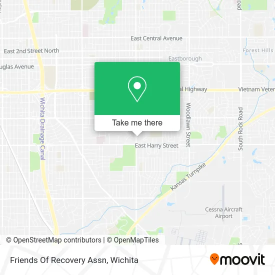
See Friends Of Recovery Assn, Wichita, on the map
Public Transit to Friends Of Recovery Assn in Wichita
Wondering how to get to Friends Of Recovery Assn in Wichita? Moovit helps you find the best way to get to Friends Of Recovery Assn with step-by-step directions from the nearest public transit station.
Moovit provides free maps and live directions to help you navigate through your city. View schedules, routes, timetables, and find out how long does it take to get to Friends Of Recovery Assn in real time.
Looking for the nearest stop or station to Friends Of Recovery Assn? Check out this list of stops closest to your destination: Parklane Shopping Center; Oliver And Boston South Bound; Lincoln And Oliver Ob; Harry And Elpyco Ob.
Bus: 202: OLIVE, ROUTE22: S BDWY-, SOUTHEAST HIGH, ROUTE29: HYDRAUL.
Want to see if there’s another route that gets you there at an earlier time? Moovit helps you find alternative routes or times. Get directions from and directions to Friends Of Recovery Assn easily from the Moovit App or Website.
We make riding to Friends Of Recovery Assn easy, which is why over 1.5 million users, including users in Wichita, trust Moovit as the best app for public transit. You don’t need to download an individual bus app or train app, Moovit is your all-in-one transit app that helps you find the best bus time or train time available.
For information on prices of bus, costs and ride fares to Friends Of Recovery Assn, please check the Moovit app.
Use the app to navigate to popular places including to the airport, hospital, stadium, grocery store, mall, coffee shop, school, college, and university.
Location: Wichita
- Garden Plain State Bank,
- DT's Outlet South,
- Wichita Guitar Academy,
- State of Kansas Dept of Corrections,
- Trunecek Scott,
- Cricket Wireless Authorized Retailer,
- Farmers Insurance - Jeffrey Mitchell,
- Home Plumbing,
- Accurate Tax Service,
- Salvation Army,
- A-Ok,
- Sol Beauty Supply,
- Clear Water Purification,
- Joseph Mc Connell's Hair,
- E Harry St,
- Creative Custom Design,
- Elite Home Helpers,
- Haylormade,
- Simba Dojang Taekwon-do Academy,
- Afghan Halal Market
Places Near Friends Of Recovery Assn (Wichita)
- Paige Place Apartments, Wichita,
- Spirit AeroSystems, Bldg 2-280J (Section 9),
- Sena African Hair Braiding LLC, Wichita,
- 21st & Maize, Wichita,
- Bmer Tech Automotive, Wichita,
- Ascencion Via Christi Hospital St Francis, Wichita,
- McConnell Air Force Base, Mcconnell Afb,
- Spirit Aerosystems,
- Afghan Halal Market, Wichita,
- Lopez Services, Wichita,
- Hubb's glory hole, Wichita,
- Towne East Mall, Wichita,
- Total Card Solutions, Wichita,
- Wichita Dwight D. Eisenhower National Airport (ICT) (Wichita Eisenhower National Airport), Wichita,
- Four Corners Cafe @ Wesley Medical Center, Wichita,
- Spirit Aerosystems Inc, Building 1-198D,
- North High School, Wichita,
- East 21st Street North and Webb Road, Wichita,
- Westside Athletic Field (Friends University Baseball Field), Wichita,
- Ratcliff Auto and Truck Repair, Wichita
How to get to popular places in Wichita with public transit
Get around Wichita by public transit!
Traveling around Wichita has never been so easy. See step by step directions as you travel to any attraction, street or major public transit station. View bus and train schedules, arrival times, service alerts and detailed routes on a map, so you know exactly how to get to anywhere in Wichita.
When traveling to any destination around Wichita use Moovit's Live Directions with Get Off Notifications to know exactly where and how far to walk, how long to wait for your line, and how many stops are left. Moovit will alert you when it's time to get off — no need to constantly re-check whether yours is the next stop.
Wondering how to use public transit in Wichita or how to pay for public transit in Wichita? Moovit public transit app can help you navigate your way with public transit easily, and at minimum cost. It includes public transit fees, ticket prices, and costs. Looking for a map of Wichita public transit lines? Moovit public transit app shows all public transit maps in Wichita with all bus routes and stops on an interactive map.
Wichita has 1 transit type(s), including: bus, operated by several transit agencies, including Wichita Transit, Greyhound-us and FlixBus-us