Directions to Fs Store (Cic) with public transportation
The following transit lines have routes that pass near Fs Store
 Bus: 627 BOSCH, 628 CARBOMAFRA, 654 CAMPO ALEGRE.
How to get to Fs Store by bus?
Click on the bus route to see step by step directions with maps, line arrival times and updated time schedules.
From UFPR - Universidade Federal do Paraná, Centro
58 minFrom Avenida Iguaçu, Rebouças
35 minFrom Rua Doutor Faivre 141, Centro
59 minFrom Rua Benjamin Constant, Centro
50 minFrom Centro Cívico, Centro Cívico
41 minFrom Rua Atilio Borio, Alto Da Rua XV
62 minFrom Rua João Lunardelli 2205, Cic
38 minFrom Rua José Izidoro Biazetto 158, Orleans
58 minFrom Rua Alferes Angelo Sampaio, Batel
43 minFrom Praça Do Expedicionario, Centro
52 min
Bus stops near Fs Store in Cic
Bus lines to Fs Store in Cic
What are the closest stations to Fs Store?
The closest stations to Fs Store are:
- R. Pedro Gusso, 2101 is 202 meters away, 3 min walk.
- R. Daniel Brambila, 191 is 202 meters away, 3 min walk.
Which bus lines stop near Fs Store?
These bus lines stop near Fs Store: 627 BOSCH, 628 CARBOMAFRA, 654 CAMPO ALEGRE.
What’s the nearest bus station to Fs Store in Cic?
The nearest bus stations to Fs Store in Cic are R. Pedro Gusso, 2101 and R. Daniel Brambila, 191. The closest one is a 3 min walk away.
What time is the first bus to Fs Store in Cic?
The 654 CAMPO ALEGRE is the first bus that goes to Fs Store in Cic. It stops nearby at 5:12 AM.
What time is the last bus to Fs Store in Cic?
The 628 CARBOMAFRA is the last bus that goes to Fs Store in Cic. It stops nearby at 12:29 AM.
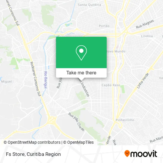
See Fs Store, Cic, on the map
Public Transit to Fs Store in Cic
Wondering how to get to Fs Store in Cic? Moovit helps you find the best way to get to Fs Store with step-by-step directions from the nearest public transit station.
Moovit provides free maps and live directions to help you navigate through your city. View schedules, routes, timetables, and find out how long does it take to get to Fs Store in real time.
Looking for the nearest stop or station to Fs Store? Check out this list of stops closest to your destination: R. Pedro Gusso; R. Daniel Brambila.
Bus: 627 BOSCH, 628 CARBOMAFRA, 654 CAMPO ALEGRE.
Want to see if there’s another route that gets you there at an earlier time? Moovit helps you find alternative routes or times. Get directions from and directions to Fs Store easily from the Moovit App or Website.
We make riding to Fs Store easy, which is why over 1.5 million users, including users in Cic, trust Moovit as the best app for public transit. You don’t need to download an individual bus app or train app, Moovit is your all-in-one transit app that helps you find the best bus time or train time available.
For information on prices of bus, costs and ride fares to Fs Store, please check the Moovit app.
Use the app to navigate to popular places including to the airport, hospital, stadium, grocery store, mall, coffee shop, school, college, and university.
Fs Store Address: Avenida das Indústrias, 1235 Cidade Industrial de Curitiba Curitiba-PR 81310-060 street in Cic
- Snap Motors,
- Carrofacil,
- Ministério Mulheres Transparentes e Familia,
- Rl46 Motors,
- Avenida das Industrias 1153,
- Farmacia Unipreço,
- Mundialtech Ltda,
- Alliance Acabamentos & Revestimentos,
- Cwe Transportes,
- Rua Pedro Gusso,
- Automoveis Novo Mundo,
- Removidros Vidros Automotivos,
- Rota 21 Financiamentos,
- Rota 21 Multimarcas,
- brasil sat,
- Peixaria Barra Velha,
- Avenida das Industrias,
- Bulle Multimarcas,
- Milvo Veículos,
- Bs Escapamentos
Places Near Fs Store (Cic)
- Shopping Estação, Rebouças,
- Park Shopping Barigüi, Mossunguê,
- Hospital Universitário Evangélico de Curitiba, Bigorrilho,
- Hospital Erasto Gaertner, Jardim Das Américas,
- Arena Da Baixada - Curitiba,
- Hospital do Rocio, Campo,
- Hhhhh, Fazendinha,
- Jockey Plaza Shopping Center, Tarumã,
- Rua General Mário Tourinho, Campina Do Siqueira,
- Rua Martim Afonso 558, Mercês,
- Hospital Da Cruz Vermelha, Batel,
- Parque Barigui, Mercês,
- Hospital Madalena Sofia, Bairro Alto,
- Campo Largo, Campo,
- Jardim Botânico de Curitiba PR, Centro,
- Shopping Palladium, Portão,
- Hospital Nossa Senhora Das Graças, Mercês,
- Hospital Angelina Caron, Campina Grande Do Sul,
- Pontifícia Universidade Católica do Paraná (PUCPR), Prado Velho,
- Hospital de Clínicas (HC - UFPR), Centro
How to get to popular places in Curitiba Region with public transit
Get around Cic by public transit!
Traveling around Cic has never been so easy. See step by step directions as you travel to any attraction, street or major public transit station. View bus and train schedules, arrival times, service alerts and detailed routes on a map, so you know exactly how to get to anywhere in Cic.
When traveling to any destination around Cic use Moovit's Live Directions with Get Off Notifications to know exactly where and how far to walk, how long to wait for your line, and how many stops are left. Moovit will alert you when it's time to get off — no need to constantly re-check whether yours is the next stop.
Wondering how to use public transit in Cic or how to pay for public transit in Cic? Moovit public transit app can help you navigate your way with public transit easily, and at minimum cost. It includes public transit fees, ticket prices, and costs. Looking for a map of Cic public transit lines? Moovit public transit app shows all public transit maps in Cic with all Bus and Cable Car routes and stops on an interactive map.
Curitiba Region has 2 transit type(s), including: Bus and Cable Car, operated by several transit agencies, including Sistema Integrado de Mobilidade (URBS), Sistema Integrado de Mobilidade (AMEP), URBS (Cartões bancários e Dinheiro), URBS (Cartões bancários / Cartão URBS), AMEP (Cartões bancários / Cartão MetroCard), AMEP (Cartões bancários / Cartão MetroCard / Dinheiro), Viação Colombo (Dinheiro), TRIAR (Cartão TRIAR / Dinheiro), Empresa Curitiba Cerro Azul (Dinheiro), Expresso Nossa Senhora da Penha (Dinheiro), Empresa Campo Alto Tijucas (Dinheiro), Auto Viação São José (Cartão VEM / Dinheiro), BRT S/A (Cartão VEM / Dinheiro), TransPiedade (Cartão Cidadão / Dinheiro) and Oceânica Sul (Cartão Transporte / Dinheiro)