How to get to Function Relocation by bus?
Click on the bus route to see step by step directions with maps, line arrival times and updated time schedules.
From SW 8 St & 27 Ave, Miami
69 minFrom Department of Children and Families, Miami
65 minFrom Sunset Dr, Miami
72 minFrom Consulado General Del Ecuador en Miami, Miami
72 minFrom The Salvation Army, Miami
59 minFrom NW 79th St / NW 32nd Ave, Miami
86 minFrom Rub N Tug, Miami
76 minFrom Flagler, Miami
53 minFrom Tropical Park, Miami
69 minFrom Trader Joe's, Miami
72 min
Bus stops near Function Relocation in North Westside
Bus lines to Function Relocation in North Westside
What are the closest stations to Function Relocation?
The closest stations to Function Relocation are:
- Mcdonalds is 1216 yards away, 15 min walk.
- Nw 25 St & Nw 79 Av is 1417 yards away, 17 min walk.
- Nw87 Ave@nw13ter is 1773 yards away, 21 min walk.
- Milam Dairy Rd & Nw 14 St is 2294 yards away, 27 min walk.
- The Landings at MIA (Coporate Center) is 2931 yards away, 35 min walk.
Which bus lines stop near Function Relocation?
These bus lines stop near Function Relocation: 36, 7, 87, DLOOP2.
What’s the nearest bus station to Function Relocation in North Westside?
The nearest bus station to Function Relocation in North Westside is Mcdonalds. It’s a 15 min walk away.
What time is the first bus to Function Relocation in North Westside?
The 36 is the first bus that goes to Function Relocation in North Westside. It stops nearby at 4:13 AM.
What time is the last bus to Function Relocation in North Westside?
The 36 is the last bus that goes to Function Relocation in North Westside. It stops nearby at 12:14 AM.
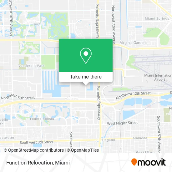
See Function Relocation, North Westside, on the map
Public Transit to Function Relocation in North Westside
Wondering how to get to Function Relocation in North Westside? Moovit helps you find the best way to get to Function Relocation with step-by-step directions from the nearest public transit station.
Moovit provides free maps and live directions to help you navigate through your city. View schedules, routes, timetables, and find out how long does it take to get to Function Relocation in real time.
Looking for the nearest stop or station to Function Relocation? Check out this list of stops closest to your destination: Mcdonalds; Nw 25 St & Nw 79 Av; Nw87 Ave@nw13ter; Milam Dairy Rd & Nw 14 St; The Landings at MIA (Coporate Center).
Bus: 36, 7, 87, DLOOP2, DLOOP1, HIAMAR, 73, 115.
Want to see if there’s another route that gets you there at an earlier time? Moovit helps you find alternative routes or times. Get directions from and directions to Function Relocation easily from the Moovit App or Website.
We make riding to Function Relocation easy, which is why over 1.5 million users, including users in North Westside, trust Moovit as the best app for public transit. You don’t need to download an individual bus app or train app, Moovit is your all-in-one transit app that helps you find the best bus time or train time available.
For information on prices of bus and train, costs and ride fares to Function Relocation, please check the Moovit app.
Use the app to navigate to popular places including to the airport, hospital, stadium, grocery store, mall, coffee shop, school, college, and university.
Function Relocation Address: 1609 NW 82nd Ave Doral, FL 33126 street in North Westside
- Baker Distributing,
- Tradex USA Logistics,
- Storm Impact Masters,
- Pannellis Inc,
- Raysman,
- Beromar Distribution,
- Caribbean Logistics,
- Statehouse Solar,
- Titan Transport Services,
- Doral Medical Imaging & Advance Mri,
- H&M Family Center,
- Super Service Group,
- PLJ Cargo Logistics,
- Orbi Trading,
- PPG Industries (PPG Paints),
- Princess Cargo,
- Mental Health Concern,
- Juan Iraizoz, Ba,
- Global Candy Inc.,
- South Florida Imaging Supply
Places Near Function Relocation (North Westside)
- Wynwood, Miami,
- Marlins Park, Miami,
- Sawgrass Mall, Miami,
- Brickell City Centre, Miami,
- Keiser University Flagship Campus, West Palm Beach,
- Hard Rock Stadium, Miami Gardens,
- Sawgrass mall ( FL ), Miami Beach,
- Aventura Mall, Miami Beach,
- Bayside Marketplace, Miami,
- Miami Freedom Park, Miami,
- Dolphin Mall Bus, Miami,
- Dolphin Mall, Miami,
- Zoo Miami, Miami,
- Miami-Dade County Courthouse, Miami,
- Port of Miami Cruise Terminal, Miami,
- Richard E. Gerstein Justice Building, Miami,
- Miami Design District, Miami,
- Miami VA Hospital, Miami,
- Aventura Mall, Miami,
- Little Havana, Miami
How to get to popular places in Miami with public transit
Get around North Westside by public transit!
Traveling around North Westside has never been so easy. See step by step directions as you travel to any attraction, street or major public transit station. View bus and train schedules, arrival times, service alerts and detailed routes on a map, so you know exactly how to get to anywhere in North Westside.
When traveling to any destination around North Westside use Moovit's Live Directions with Get Off Notifications to know exactly where and how far to walk, how long to wait for your line, and how many stops are left. Moovit will alert you when it's time to get off — no need to constantly re-check whether yours is the next stop.
Wondering how to use public transit in North Westside or how to pay for public transit in North Westside? Moovit public transit app can help you navigate your way with public transit easily, and at minimum cost. It includes public transit fees, ticket prices, and costs. Looking for a map of North Westside public transit lines? Moovit public transit app shows all public transit maps in North Westside with all Bus, Train, Light Rail and Ferry routes and stops on an interactive map.
Miami has 4 transit type(s), including: Bus, Train, Light Rail and Ferry, operated by several transit agencies, including Broward County Transit, Miami-Dade Transit, Metrorail, Palm Tran, Tri-Rail, Brightline, MARTY, City of Homestead Trolley, Key West Transit, Treasure Coast Connector, GoLine IRT, Amtrak, Greyhound-us, FlixBus-us and Aventura Express Shuttle Bus