Cable Car stop - Monday schedule
| Line | Direction | Time |
|---|---|---|
| 21 | Spinning Mill | 5:54 AM |
| 21 | Spinning Mill | 6:10 AM |
| 21 | Spinning Mill | 6:30 AM |
| 21 | Spinning Mill | 6:50 AM |
| 21 | Spinning Mill | 7:11 AM |
| 21 | Spinning Mill | 7:26 AM |
| 21 | Spinning Mill | 7:38 AM |
| 21 | Spinning Mill | 7:51 AM |
| 21 | Spinning Mill | 8:03 AM |
| 21 | Spinning Mill | 8:12 AM |
| 21 | Spinning Mill | 8:21 AM |
| 21 | Spinning Mill | 8:30 AM |
| 21 | Spinning Mill | 8:39 AM |
| 21 | Spinning Mill | 8:48 AM |
| 21 | Spinning Mill | 8:57 AM |
| 21 | Spinning Mill | 9:06 AM |
| 21 | Spinning Mill | 9:15 AM |
| 21 | Spinning Mill | 9:24 AM |
| 21 | Spinning Mill | 9:33 AM |
| 21 | Spinning Mill | 9:42 AM |
| 21 | Spinning Mill | 9:51 AM |
| 21 | Spinning Mill | 10:01 AM |
| 21 | Spinning Mill | 10:13 AM |
| 21 | Spinning Mill | 10:25 AM |
| 21 | Spinning Mill | 10:37 AM |
Directions to Cable Car stop (Bologna) with public transit
The following transit lines have routes that pass near Cable Car
 Bus: 14, 20, 21, 826, 94.
- Train: S1, S2 A.
How to get to Cable Car stop by bus?
Click on the bus route to see step by step directions with maps, line arrival times and updated time schedules.
How to get to Cable Car stop by train?
Click on the train route to see step by step directions with maps, line arrival times and updated time schedules.
Bus stops near Cable Car stop in Bologna
- Sports Center, 2 min walk,
- Cable Car, 3 min walk,
- Lino, 4 min walk,
- Don Sturzo, 4 min walk,
- Certosa, 5 min walk,
Train stations near Cable Car station in Bologna
- Casalecchio Garibaldi, 23 min walk,
Bus lines to Cable Car stop in Bologna
- N3, Night Service | Ponte Ronca - Mille - San Sisto,
- 20, San Biagio - Casalecchio di Reno - Pilastro,
- 94, Bazzano - Bologna - Sant'Orsola Hospital - Malpighi Hospital - Castel San Pietro Terme,
- 671, Bologna - Bazzano Station - Vignola,
- 672, Bologna - Casalecchio di Reno - Bazzano Station - Vignola,
- 686, Roosevelt Square / San Francesco Square - Casalecchio di Reno,
- 706, Bologna - Vergato,
- 826, Bologna - Castiglione dei Pepoli - San Giacomo,
- 856, Bologna - San Benedetto Val di Sambro - Castel Dell'Alpi / Pian del Voglio,
- N4, Muratore,
- 14, Pope John XXIII Square,
- 21, Cadriano Matteotti,
- 61, Battindarno Depot,
- 83, Croce Caravaggio,
- 89, San Biagio Resistance,
- 676, Philip Morris,
What are the closest stations to Cable Car?
The closest stations to Cable Car are:
- Sports Center stop is 99 meters away, 2 min walk.
- Cable Car stop is 160 meters away, 3 min walk.
- Lino stop is 273 meters away, 4 min walk.
- Don Sturzo stop is 300 meters away, 4 min walk.
- Certosa stop is 358 meters away, 5 min walk.
- Casalecchio Garibaldi station is 1806 meters away, 23 min walk.
Which bus lines stop near Cable Car?
These bus lines stop near Cable Car: 14, 20, 21, 826, 94.
Which train line stops near Cable Car?
S1 (Porretta Terme)
What’s the nearest train station to Cable Car in Bologna?
The nearest train station to Cable Car in Bologna is Casalecchio Garibaldi. It’s a 23 min walk away.
What’s the nearest bus station to Cable Car in Bologna?
The nearest bus station to Cable Car in Bologna is Sports Center. It’s a 2 min walk away.
What time is the first train to Cable Car in Bologna?
The S1 is the first train that goes to Cable Car in Bologna. It stops nearby at 5:19 AM.
What time is the last train to Cable Car in Bologna?
The S1 is the last train that goes to Cable Car in Bologna. It stops nearby at 10:42 PM.
What time is the first bus to Cable Car in Bologna?
The N3 is the first bus that goes to Cable Car in Bologna. It stops nearby at 3:08 AM.
What time is the last bus to Cable Car in Bologna?
The 61 is the last bus that goes to Cable Car in Bologna. It stops nearby at 2:56 AM.
Cable Car station
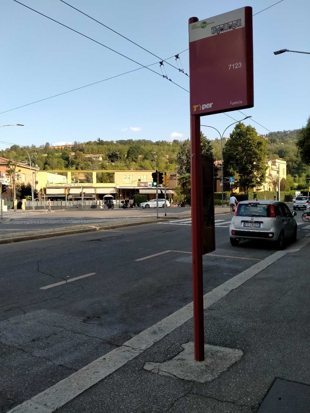 Taken by shaan w.
See Cable Car stop, Bologna, on the map
Public transit to Cable Car stop (ID: 3629) in Bologna
Looking for directions to Cable Car in Bologna, Italy?
Download the Moovit App to find the current schedule and step-by-step directions for Bus or Train routes that pass through Cable Car.
Looking for the nearest stops closest to Cable Car ? Check out this list of closest stops to your destination: Sports Center; Cable Car; Lino; Don Sturzo; Certosa; Casalecchio Garibaldi.
Bus: 14, 20, 21, 826, 94, N3, 671, 672, 686, 706, N4, 61, 83, 89, 676.Train: S1, S2 A.
We make riding on public transit to Cable Car easy, which is why over 1.7 billion users, including users in Bologna trust Moovit as the best app for public transit.
Use the app to navigate to popular places including to the airport, hospital, stadium, grocery store, mall, coffee shop, school, college, and university.
Cable Car stop’s code is 3629
The first line to this stop is 21, at 5:54 AM, and the last line is 21 at 1:17 AM.
203/2 Via Andrea Costa, Bologna, Italy
This stop serves TPER Bologna’s lines
Popular routes from Cable Car stop, Bologna
- Sports Center,
- Cable Car,
- Lino,
- Don Sturzo,
- Certosa
Bus stops near Cable Car stop
- Casalecchio Garibaldi
Train station near Cable Car station
- Comacchio Trepponti,
- Bulgarno Center,
- Vaciglio,
- Via Montalbo 25,
- Borgo Panigale - Ducati Museum,
- Ca Bianca,
- Vignolese University,
- Lido Estensi Logonovo,
- Roncati,
- Ponte Venturina Granaglione Junction,
- Minghetti Square,
- 19 Viserba Station,
- 29 Gubbio,
- Cavezzo Bus Station,
- Casalecchio Cemetery,
- Ceretolo,
- San Sisto,
- Barelli,
- Castello D'Argile Industrial Zone,
- Lido Di Savio
Popular public transit stations in Bologna
Get around Bologna by public transit!
Traveling around Bologna has never been so easy. See step by step directions as you travel to any attraction, street or major public transit station. View bus and train schedules, arrival times, service alerts and detailed routes on a map, so you know exactly how to get to anywhere in Bologna.
When traveling to any destination around Bologna use Moovit's Live Directions with Get Off Notifications to know exactly where and how far to walk, how long to wait for your line, and how many stops are left. Moovit will alert you when it's time to get off — no need to constantly re-check whether yours is the next stop.
Wondering how to use public transit in Bologna or how to pay for public transit in Bologna? Moovit public transit app can help you navigate your way with public transit easily, and at minimum cost. It includes public transit fees, ticket prices, and costs. Looking for a map of Bologna public transit lines? Moovit public transit app shows all public transit maps in Bologna with all Bus, Train, Ferry, Cable Car and Funicular routes and stops on an interactive map.
Bologne has 5 transit type(s), including: Bus, Train, Ferry, Cable Car and Funicular, operated by several transit agencies, including Marconi Express, TPER Bologna, Autoguidovie, TPER Ferrara, Metropolitan Railway Service, SETA Modena, SETA Piacenza, SETA Reggio Emilia, TEP, Start Rimini, Start Ravenna, Start Forlì-Cesena, Trenitalia-TPER, Trenord and SACA Cooperative Society