Gallows Rd @ Holmes Run Dr stop - Monday schedule
| Line | Direction | Time |
|---|---|---|
| 401 | 401 Tysons West Park | 5:11 AM |
| 401 | 401 Tysons West Park | 5:35 AM |
| 401 | 401 Tysons West Park | 5:45 AM |
| 401 | 401 Tysons West Park | 6:04 AM |
| 401 | 401 Tysons West Park | 6:27 AM |
| 401 | 401 Tysons West Park | 6:49 AM |
| 401 | 401 Tysons West Park | 7:04 AM |
| 401 | 401 Tysons West Park | 7:19 AM |
| 401 | 401 Tysons West Park | 7:34 AM |
| 401 | 401 Tysons West Park | 7:49 AM |
| 401 | 401 Tysons West Park | 8:04 AM |
| 401 | 401 Tysons West Park | 8:19 AM |
| 401 | 401 Tysons West Park | 8:34 AM |
| 401 | 401 Tysons West Park | 8:49 AM |
| 401 | 401 Tysons West Park | 9:09 AM |
| 401 | 401 Tysons West Park | 9:21 AM |
| 401 | 401 Tysons West Park | 9:36 AM |
| 401 | 401 Tysons West Park | 9:50 AM |
| 401 | 401 Tysons West Park | 10:07 AM |
| 401 | 401 Tysons West Park | 10:27 AM |
| 401 | 401 Tysons West Park | 10:47 AM |
| 401 | 401 Tysons West Park | 11:07 AM |
| 401 | 401 Tysons West Park | 11:27 AM |
| 401 | 401 Tysons West Park | 11:47 AM |
| 401 | 401 Tysons West Park | 12:09 PM |
Directions to Gallows Rd @ Holmes Run Dr stop (Fairfax County) with public transit
The following transit lines have routes that pass near Gallows Rd @ Holmes Run Dr
 Bus: 401, 402, F60, F61, 671.
- Metro: ORANGE.
How to get to Gallows Rd @ Holmes Run Dr stop by bus?
Click on the bus route to see step by step directions with maps, line arrival times and updated time schedules.
How to get to Gallows Rd @ Holmes Run Dr stop by metro?
Click on the metro route to see step by step directions with maps, line arrival times and updated time schedules.
Bus stops near Gallows Rd @ Holmes Run Dr stop in Fairfax County
- Wilmot Wy+Inova Hospital Gray Entrance, 3 min walk,
- Inova Fairfax Hospital, 3 min walk,
Metro stations near Gallows Rd @ Holmes Run Dr station in Fairfax County
- Dunn Loring Merrifield Metro Station, 59 min walk,
Bus lines to Gallows Rd @ Holmes Run Dr stop in Fairfax County
- F60, West To Monument Dr,
- F61, West To Vienna,
- 401, 401 Tysons West Park,
- 402, 402 Franconia- Springfield,
- 671, 671 Avion Parkway,
What are the closest stations to Gallows Rd @ Holmes Run Dr?
The closest stations to Gallows Rd @ Holmes Run Dr are:
- Wilmot Wy+Inova Hospital Gray Entrance stop is 164 yards away, 3 min walk.
- Inova Fairfax Hospital stop is 196 yards away, 3 min walk.
- Dunn Loring Merrifield Metro Station is 5060 yards away, 59 min walk.
Which bus lines stop near Gallows Rd @ Holmes Run Dr?
These bus lines stop near Gallows Rd @ Holmes Run Dr: 401, 402.
Which metro line stops near Gallows Rd @ Holmes Run Dr?
ORANGE (Vienna)
What’s the nearest bus station to Gallows Rd @ Holmes Run Dr in Fairfax County?
The nearest bus stations to Gallows Rd @ Holmes Run Dr in Fairfax County are Wilmot Wy+Inova Hospital Gray Entrance and Inova Fairfax Hospital. The closest one is a 3 min walk away.
What time is the first metro to Gallows Rd @ Holmes Run Dr in Fairfax County?
The ORANGE is the first metro that goes to Gallows Rd @ Holmes Run Dr in Fairfax County. It stops nearby at 5:04 AM.
What time is the last metro to Gallows Rd @ Holmes Run Dr in Fairfax County?
The ORANGE is the last metro that goes to Gallows Rd @ Holmes Run Dr in Fairfax County. It stops nearby at 12:35 AM.
What time is the first bus to Gallows Rd @ Holmes Run Dr in Fairfax County?
The 401 is the first bus that goes to Gallows Rd @ Holmes Run Dr in Fairfax County. It stops nearby at 3:59 AM.
What time is the last bus to Gallows Rd @ Holmes Run Dr in Fairfax County?
The F61 is the last bus that goes to Gallows Rd @ Holmes Run Dr in Fairfax County. It stops nearby at 2:30 AM.
Gallows Rd @ Holmes Run Dr station
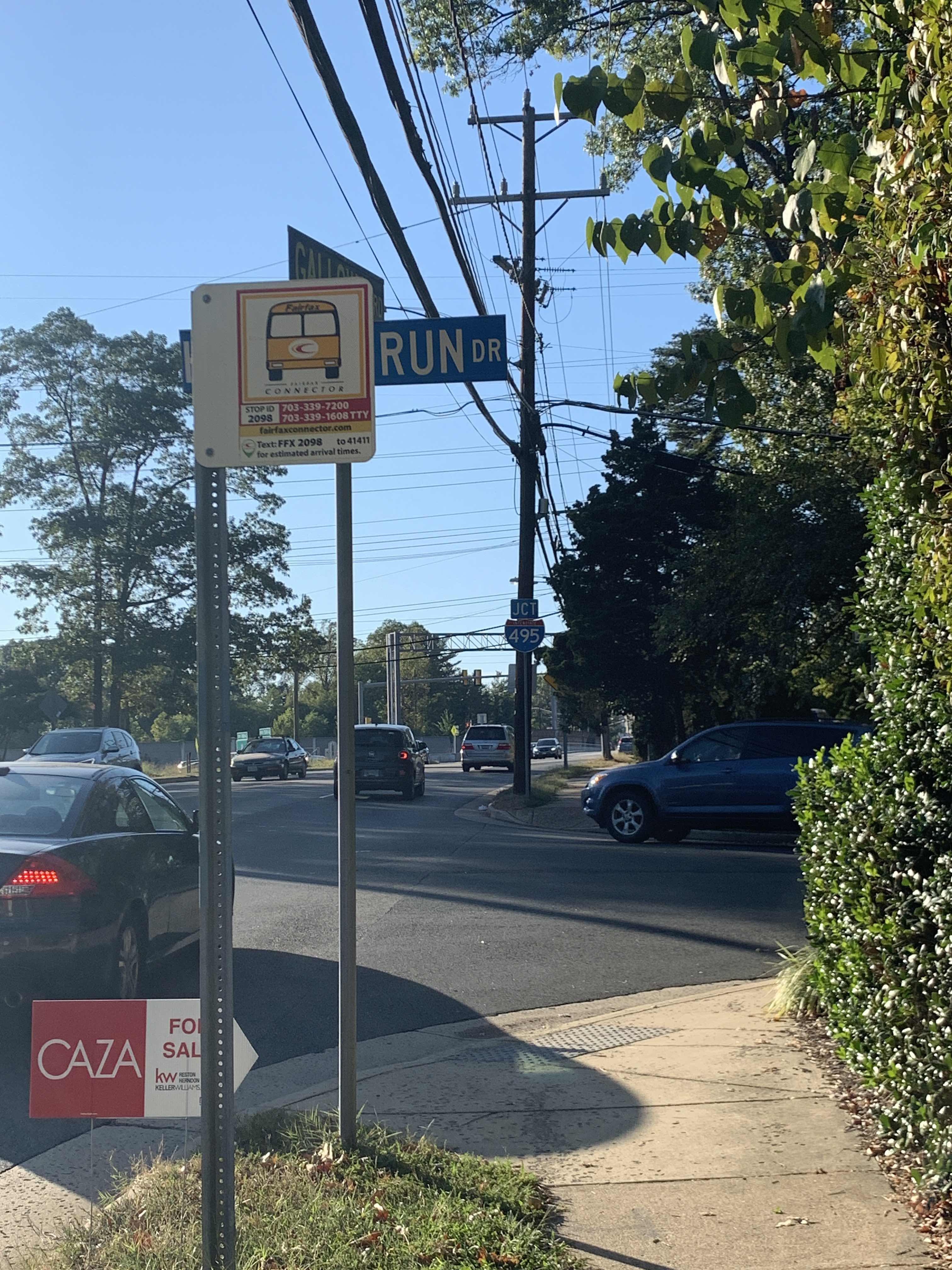 Taken by Anonymous
See Gallows Rd @ Holmes Run Dr stop, Fairfax County, on the map
Public transit to Gallows Rd @ Holmes Run Dr stop (ID: 2098) in Fairfax County
Looking for directions to Gallows Rd @ Holmes Run Dr in Fairfax County, United States?
Download the Moovit App to find the current schedule and step-by-step directions for Bus or Metro routes that pass through Gallows Rd @ Holmes Run Dr.
Looking for the nearest stops closest to Gallows Rd @ Holmes Run Dr ? Check out this list of closest stops to your destination: Wilmot Wy+Inova Hospital Gray Entrance; Inova Fairfax Hospital; Dunn Loring Merrifield Metro Station.
Bus: 401, 402, F60, F61, 671.Metro: ORANGE.
We make riding on public transit to Gallows Rd @ Holmes Run Dr easy, which is why over 1.7 billion users, including users in Fairfax County trust Moovit as the best app for public transit.
Use the app to navigate to popular places including to the airport, hospital, stadium, grocery store, mall, coffee shop, school, college, and university.
Gallows Rd @ Holmes Run Dr stop’s code is 2098
The first line to this stop is 401, at 5:11 AM, and the last line is 401 at 4:31 AM.
Wheatwheel Lane, Annandale, VA, USA
This stop serves Fairfax Connector’s lines
- Wilmot Wy+Inova Hospital Gray Entrance,
- Inova Fairfax Hospital
Bus stops near Gallows Rd @ Holmes Run Dr stop
- Dunn Loring Merrifield Metro Station
Metro station near Gallows Rd @ Holmes Run Dr station
- Cathedral Av Nw+Woodley Rd NW,
- Georgia Av Nw+Buchanan St NW,
- Germantown Rd & Crystal Rock Dr,
- Bladensburg Rd Ne+#3174,
- Pendleton St And N Henry St,
- Bradley Blvd & Durbin Rd,
- Macarthur Bl Nw+Arizona Av NW,
- Reservoir Rd Nw+38 St NW,
- Ivy Ln+#6301,
- River Rd & Rivertech Ct,
- Hickory Ridge Village Center / Giant,
- Bp Gas Station (Philadelphia Rd/Rt 7 & Cokesbury Rd),
- Old Georgetown Rd & Cheshire Dr,
- Tyco Rd @ Spring Hill Rd,
- Prospect St Nw+36 St NW,
- 18 St Ne+Adams St NE,
- Federal Center SW,
- 23 St S+S Clark St,
- K St Nw+15 St NW,
- St. Mary's Hospital
Popular public transit stations in Fairfax County
Get around Fairfax County by public transit!
Traveling around Fairfax County has never been so easy. See step by step directions as you travel to any attraction, street or major public transit station. View bus and train schedules, arrival times, service alerts and detailed routes on a map, so you know exactly how to get to anywhere in Fairfax County.
When traveling to any destination around Fairfax County use Moovit's Live Directions with Get Off Notifications to know exactly where and how far to walk, how long to wait for your line, and how many stops are left. Moovit will alert you when it's time to get off — no need to constantly re-check whether yours is the next stop.
Wondering how to use public transit in Fairfax County or how to pay for public transit in Fairfax County? Moovit public transit app can help you navigate your way with public transit easily, and at minimum cost. It includes public transit fees, ticket prices, and costs. Looking for a map of Fairfax County public transit lines? Moovit public transit app shows all public transit maps in Fairfax County with all Bus, Train, Metro, Light Rail and Ferry routes and stops on an interactive map.
Washington, D.C. - Baltimore, MD has 5 transit type(s), including: Bus, Train, Metro, Light Rail and Ferry, operated by several transit agencies, including WMATA, Montgomery County Ride On, Fairfax Connector, Prince Georges County's TheBus, PRTC, DASH - Alexandria, Arlington Transit (ART), RTA of Central Maryland, MDOT MTA, MDOT MTA Light RailLink, MDOT MTA Commuter Bus, MDOT MTA Local Bus, FXBGO!, Virginia Railway Express (VRE) and MARC