How to get to Gary Cooper-State Farm Agent by bus?
Click on the bus route to see step by step directions with maps, line arrival times and updated time schedules.
From Ivy Tech Community College Student Life Center, Fort Wayne
55 minFrom Haidyn Micah & Company Hair Artistry, Fort Wayne
79 minFrom Pro Floor Solutions, Fort Wayne
69 minFrom Fort Wayne, Indiana, Fort Wayne
32 minFrom [B]Right Brand Performance Group, Fort Wayne
66 minFrom Penske Truck Rental, Fort Wayne
45 minFrom YY Foot Massage, Fort Wayne
45 minFrom Sidra Mukhtar MD, Fort Wayne
44 minFrom Brad Stinson: Fort Waynes Biggest Realtor, Fort Wayne
65 minFrom Meijer, Fort Wayne
57 min
Bus stops near Gary Cooper-State Farm Agent in Fort Wayne
Bus lines to Gary Cooper-State Farm Agent in Fort Wayne
What are the closest stations to Gary Cooper-State Farm Agent?
The closest stations to Gary Cooper-State Farm Agent are:
- Paulding Near Abbott is 323 yards away, 4 min walk.
- Anthony And Paulding (Nb) is 404 yards away, 5 min walk.
Which bus line stops near Gary Cooper-State Farm Agent?
7ANT (Southtown Centre (Sb))
What’s the nearest bus station to Gary Cooper-State Farm Agent in Fort Wayne?
The nearest bus station to Gary Cooper-State Farm Agent in Fort Wayne is Paulding Near Abbott. It’s a 4 min walk away.
What time is the first bus to Gary Cooper-State Farm Agent in Fort Wayne?
The 3VW is the first bus that goes to Gary Cooper-State Farm Agent in Fort Wayne. It stops nearby at 5:46 AM.
What time is the last bus to Gary Cooper-State Farm Agent in Fort Wayne?
The 7ANT is the last bus that goes to Gary Cooper-State Farm Agent in Fort Wayne. It stops nearby at 8:49 PM.
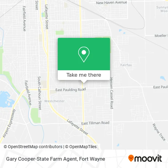
See Gary Cooper-State Farm Agent, Fort Wayne, on the map
Public Transit to Gary Cooper-State Farm Agent in Fort Wayne
Wondering how to get to Gary Cooper-State Farm Agent in Fort Wayne? Moovit helps you find the best way to get to Gary Cooper-State Farm Agent with step-by-step directions from the nearest public transit station.
Moovit provides free maps and live directions to help you navigate through your city. View schedules, routes, timetables, and find out how long does it take to get to Gary Cooper-State Farm Agent in real time.
Looking for the nearest stop or station to Gary Cooper-State Farm Agent? Check out this list of stops closest to your destination: Paulding Near Abbott; Anthony And Paulding (Nb).
Bus: 7ANT, 3VW.
Want to see if there’s another route that gets you there at an earlier time? Moovit helps you find alternative routes or times. Get directions from and directions to Gary Cooper-State Farm Agent easily from the Moovit App or Website.
We make riding to Gary Cooper-State Farm Agent easy, which is why over 1.7 million users, including users in Fort Wayne, trust Moovit as the best app for public transit. You don’t need to download an individual bus app or train app, Moovit is your all-in-one transit app that helps you find the best bus time or train time available.
For information on prices of bus, costs and ride fares to Gary Cooper-State Farm Agent, please check the Moovit app.
Get to Gary Cooper-State Farm Agent with public transit and pay for the ride in the Moovit app. In addition to all info you may need for your trip to Gary Cooper-State Farm Agent, including live directions, real-time arrivals and fare prices, you can also buy public transit passes for your rides. No need for cash or paper tickets to get to Gary Cooper-State Farm Agent - everything you need is accessible in the app with a click of the button.
Use the app to navigate to popular places including to the airport, hospital, stadium, grocery store, mall, coffee shop, school, college, and university.
Gary Cooper-State Farm Agent Address: 5533 S Anthony Blvd Fort Wayne, IN 46806 street in Fort Wayne
- Nantin Family Insurance,
- Beauty Expo,
- Trey's 2k Tight Beauty Salon,
- Checkers,
- Shwenandaw Grocery,
- Perdue Print,
- Wuest Lawrence F MD,
- Taco House,
- American Crypto Bitcoin ATM,
- Anthony Express,
- Laborers Local 213,
- Cap-N-Cork,
- Voice Link,
- Faith Lutheran Church Parsonage,
- Bettys Little Daycare,
- Fort Wayne Black Chamber of Commerce,
- The League for the Blind and Disabled,
- Dreams Made Into Reality,
- MoneyGram,
- Atumn Woods
Places Near Gary Cooper-State Farm Agent (Fort Wayne)
- Parkview Randallia Infusion Center, Fort Wayne,
- Parkview North Hospital,
- german Roasted Nuts Stand (Glenbrook Mall), Fort Wayne,
- Citilink Bus 10 (New Haven), Fort Wayne,
- Trine University, Fort Wayne,
- Fort Wayne International Airport, Fort Wayne,
- Illinois Road & Hadley Road Intersection, Fort Wayne,
- Jefferson Pointe, Fort Wayne,
- South Side Baseball - Derbyshire Field,
- North Side High School, Fort Wayne,
- Parkview Hospital Parking Garage, Fort Wayne,
- Lima Rd / W Coliseum Blvd, Fort Wayne,
- Legacy Dental,
- Lutheran Ministries Media, Fort Wayne,
- Walmart Supercenter, Fort Wayne,
- Maplecrest Rd / Stellhorn Rd, Fort Wayne,
- Fort Wayne International Airport (FWA) (Fort Wayne International Airport), Fort Wayne,
- Aunt Gena's Sweet Corn,
- Sweetwater Sound, Fort Wayne,
- Dupont Hospital, Fort Wayne
How to get to popular places in Fort Wayne with public transit
Get around Fort Wayne by public transit!
Traveling around Fort Wayne has never been so easy. See step by step directions as you travel to any attraction, street or major public transit station. View bus and train schedules, arrival times, service alerts and detailed routes on a map, so you know exactly how to get to anywhere in Fort Wayne.
When traveling to any destination around Fort Wayne use Moovit's Live Directions with Get Off Notifications to know exactly where and how far to walk, how long to wait for your line, and how many stops are left. Moovit will alert you when it's time to get off — no need to constantly re-check whether yours is the next stop.
Wondering how to use public transit in Fort Wayne or how to pay for public transit in Fort Wayne? Moovit public transit app can help you navigate your way with public transit easily, and at minimum cost. It includes public transit fees, ticket prices, and costs. Looking for a map of Fort Wayne public transit lines? Moovit public transit app shows all public transit maps in Fort Wayne with all bus routes and stops on an interactive map.
Fort Wayne has 1 transit type(s), including: bus, operated by several transit agencies, including Citilink