How to get to Gas Car by bus?
Click on the bus route to see step by step directions with maps, line arrival times and updated time schedules.
From Ingeniero Pastor Roualx, Aguascalientes
47 minFrom Fracc. Guadalupe Peralta, Aguascalientes
52 minFrom Complejo Ferrocarrilero Tres Centurias, Aguascalientes
47 minFrom Centro De Convenciones Tres Centurias, Aguascalientes
48 minFrom Pilar Blanco, Aguascalientes
55 minFrom Jardin De San Marcos, Aguascalientes
32 minFrom Pastelería Chayito, Aguascalientes
48 minFrom Templo de la Medallita Milagrosa, Aguascalientes
33 minFrom Teatro Victor Sandoval, Aguascalientes
33 minFrom 2 de Octubre, Aguascalientes
73 min
Bus stops near Gas Car in Aguascalientes
Bus lines to Gas Car in Aguascalientes
What are the closest stations to Gas Car?
The closest stations to Gas Car are:
- Avenida Independencia, 2530 is 216 meters away, 3 min walk.
- A Zacatecas, 4420 is 551 meters away, 8 min walk.
- Avenida Independencia 3006 is 704 meters away, 10 min walk.
- A Zacatecas, 137 is 1065 meters away, 14 min walk.
Which bus lines stop near Gas Car?
These bus lines stop near Gas Car: RUTA 06, RUTA 10, RUTA 50.
What’s the nearest bus station to Gas Car in Aguascalientes?
The nearest bus station to Gas Car in Aguascalientes is Avenida Independencia, 2530. It’s a 3 min walk away.
What time is the first bus to Gas Car in Aguascalientes?
The RUTA 50 is the first bus that goes to Gas Car in Aguascalientes. It stops nearby at 5:57 AM.
What time is the last bus to Gas Car in Aguascalientes?
The RUTA 50 is the last bus that goes to Gas Car in Aguascalientes. It stops nearby at 10:42 PM.
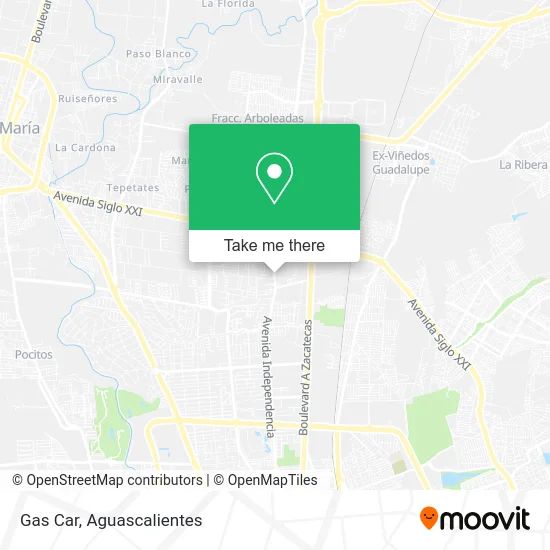
See Gas Car, Aguascalientes, on the map
Public Transit to Gas Car in Aguascalientes
Wondering how to get to Gas Car in Aguascalientes? Moovit helps you find the best way to get to Gas Car with step-by-step directions from the nearest public transit station.
Moovit provides free maps and live directions to help you navigate through your city. View schedules, routes, timetables, and find out how long does it take to get to Gas Car in real time.
Looking for the nearest stop or station to Gas Car? Check out this list of stops closest to your destination: Avenida Independencia; A Zacatecas; Avenida Independencia 3006; A Zacatecas.
Bus: RUTA 06, RUTA 10, RUTA 50, RUTA 05, RUTA 01.
Want to see if there’s another route that gets you there at an earlier time? Moovit helps you find alternative routes or times. Get directions from and directions to Gas Car easily from the Moovit App or Website.
We make riding to Gas Car easy, which is why over 1.5 million users, including users in Aguascalientes, trust Moovit as the best app for public transit. You don’t need to download an individual bus app or train app, Moovit is your all-in-one transit app that helps you find the best bus time or train time available.
For information on prices of bus, costs and ride fares to Gas Car, please check the Moovit app.
Use the app to navigate to popular places including to the airport, hospital, stadium, grocery store, mall, coffee shop, school, college, and university.
Gas Car Address: Avenida Independencia 2501, Trojes de Alonso, 20116 Aguascalientes, Aguascalientes street in Aguascalientes
- VULCANIZADORA LAS TROJES,
- Tienda de Ropa y Accesorios Fashion Boutique,
- Expendio Bachoco,
- Telebachillerato Trojes De Alonso,
- Sun Glam,
- Frenos Express Marios,
- Pasteleria Manjares,
- Di Topacio, S.A. de C.V.,
- Banco Nacional de México, S.A.,
- Ixu Spa Armonía Holistica,
- Cuarto Centenario,
- Rincón Chilango Ags.,
- Parroquia del Divino Salvador,
- Krispy Kreme,
- Decathlon Ags,
- Scotiabank,
- Chocolates Contanzo,
- Universal Cel,
- WESTERN UNION,
- Kolor La Tienda Donde Encontrarás Todo para Tu Impresora
Places Near Gas Car (Aguascalientes)
- Nuevo Hospital Hidalgo, Aguascalientes,
- Villas de Nuestra Señora de la Asunción, Aguascalientes,
- Blvd. Luis Donaldo Colosio, Aguascalientes,
- Centro Comercial Altaria, Aguascalientes,
- Imss Clinica 1, Aguascalientes,
- Jesús María, Aguascalientes,
- Agropecuario, Aguascalientes,
- clinica 3 uaa, Aguascalientes,
- Centro, Aguascalientes,
- Villasuncion, Aguascalientes,
- Parque Las Tres Centurias, Aguascalientes,
- Universidad Autónoma de Aguascalientes, Aguascalientes,
- La Isla San Marcos, Aguascalientes,
- Terminal De Combis, Aguascalientes,
- Ciudad industrial, Aguascalientes,
- Hospital Imss No. 3, Aguascalientes,
- ESPACIOS, Aguascalientes,
- Aeropuerto de Aguascalientes S.A. de C.V., Aguascalientes,
- Isla San Marcos, Aguascalientes,
- Central De Autobuses, Aguascalientes
How to get to popular places in Aguascalientes with public transit
Get around Aguascalientes by public transit!
Traveling around Aguascalientes has never been so easy. See step by step directions as you travel to any attraction, street or major public transit station. View bus and train schedules, arrival times, service alerts and detailed routes on a map, so you know exactly how to get to anywhere in Aguascalientes.
When traveling to any destination around Aguascalientes use Moovit's Live Directions with Get Off Notifications to know exactly where and how far to walk, how long to wait for your line, and how many stops are left. Moovit will alert you when it's time to get off — no need to constantly re-check whether yours is the next stop.
Wondering how to use public transit in Aguascalientes or how to pay for public transit in Aguascalientes? Moovit public transit app can help you navigate your way with public transit easily, and at minimum cost. It includes public transit fees, ticket prices, and costs. Looking for a map of Aguascalientes public transit lines? Moovit public transit app shows all public transit maps in Aguascalientes with all bus routes and stops on an interactive map.
Aguascalientes has 1 transit type(s), including: bus, operated by several transit agencies, including Coordinación General de Movilidad