Directions to Gateway Moving (Baltimore County) with public transportation
The following transit lines have routes that pass near Gateway Moving
 Bus: 81.
How to get to Gateway Moving by bus?
Click on the bus route to see step by step directions with maps, line arrival times and updated time schedules.
From I-695 @ Exit 18 (Liberty Rd/MD 26), Baltimore County
30 minFrom Mva, Baltimore
60 minFrom Johns Hopkins Medicine at Green Spring Station, Baltimore County
88 minFrom I-70 at Security Blvd Baltimore City Lot Park & Ride, Baltimore
90 minFrom Sinai Hospital, Baltimore
69 minFrom Pimlico Race Course, Baltimore
69 minFrom Owings Mills, Maryland, Baltimore County
89 minFrom I-695 @ Exit 17 (Security Blvd/MD 122), Baltimore County
51 minFrom Walmart, Baltimore County
52 minFrom Reisterstown Road Plaza, Baltimore
55 min
Bus stop near Gateway Moving in Baltimore County
- Liberty Rd & Live Oak Rd Eb, 6 min walk,VIEW
Bus lines to Gateway Moving in Baltimore County
- 81, Deer Park,VIEW
What are the closest stations to Gateway Moving?
The closest stations to Gateway Moving are:
- Liberty Rd & Live Oak Rd Eb is 457 yards away, 6 min walk.
Which bus line stops near Gateway Moving?
81 (Deer Park)
What’s the nearest bus station to Gateway Moving in Baltimore County?
The nearest bus station to Gateway Moving in Baltimore County is Liberty Rd & Live Oak Rd Eb. It’s a 6 min walk away.
What time is the first bus to Gateway Moving in Baltimore County?
The 81 is the first bus that goes to Gateway Moving in Baltimore County. It stops nearby at 6:09 AM.
What time is the last bus to Gateway Moving in Baltimore County?
The 81 is the last bus that goes to Gateway Moving in Baltimore County. It stops nearby at 9:48 PM.
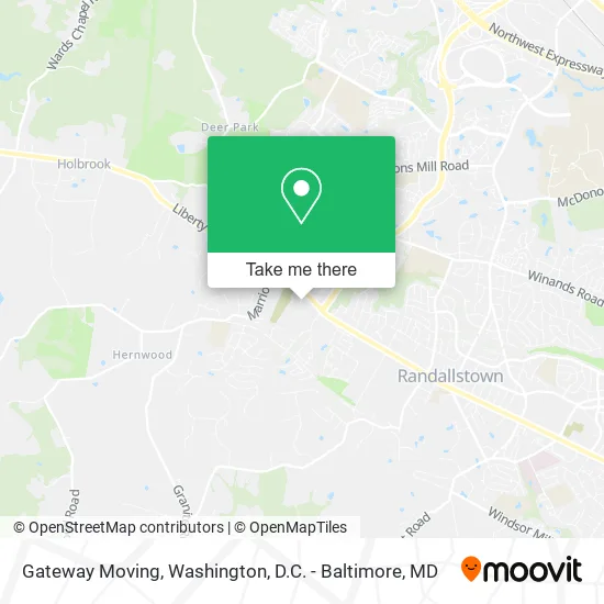
See Gateway Moving, Baltimore County, on the map
Public Transit to Gateway Moving in Baltimore County
Wondering how to get to Gateway Moving in Baltimore County? Moovit helps you find the best way to get to Gateway Moving with step-by-step directions from the nearest public transit station.
Moovit provides free maps and live directions to help you navigate through your city. View schedules, routes, timetables, and find out how long does it take to get to Gateway Moving in real time.
Looking for the nearest stop or station to Gateway Moving? Check out this list of stops closest to your destination: Liberty Rd & Live Oak Rd Eb.
Bus: 81.
Want to see if there’s another route that gets you there at an earlier time? Moovit helps you find alternative routes or times. Get directions from and directions to Gateway Moving easily from the Moovit App or Website.
We make riding to Gateway Moving easy, which is why over 1.5 million users, including users in Baltimore County, trust Moovit as the best app for public transit. You don’t need to download an individual bus app or train app, Moovit is your all-in-one transit app that helps you find the best bus time or train time available.
For information on prices of bus and metro, costs and ride fares to Gateway Moving, please check the Moovit app.
Use the app to navigate to popular places including to the airport, hospital, stadium, grocery store, mall, coffee shop, school, college, and university.
Gateway Moving Address: 9633 Liberty Rd Randallstown, MD 21133 street in Baltimore County
- N'Ferno Performing Arts Center,
- Lifesafer Ignition Interlock,
- Root3 Labs,
- Glass Doctor Home + Business of Randallstown,
- Active Day of Randallstown,
- Marriotsville Appliance Repair Men,
- Seven Days Cooling Repair,
- Agile Electrical Repair,
- Owings Mills Liberty Rd,
- Liberty Rd & Owings Mills Blvd,
- RCCG Chapel of Blessings,
- Church of Christ at Deer Park,
- Mountain of Fire and Miracles Ministries,
- Living Water Church,
- Project Team,
- Northwest Hospital,
- Am Movers,
- Creative Kids Works,
- Edible Arrangements,
- Liberty Rd (marriottsville and liberty rd)
Places Near Gateway Moving (Baltimore County)
- Camden Yards, Baltimore,
- Warner Theatre, Washington,
- National Zoo, Washington,
- Sibley Memorial Hospital, Washington,
- Marriott Marquis Washington, DC, Washington,
- Museum Of The Bible, Washington,
- Basilica of the National Shrine, Washington,
- Washington National Cathedral, Washington,
- Amazon Hq2, Arlington County,
- PG Mall, Prince George's County,
- Pennsylvania Ave NW (3rd st and pennsylvania), Washington,
- Washington DC VA Medical Center, Washington,
- Rock Creek Tennis Center, Washington,
- Georgetown, Washington,
- Westfield Montgomery Mall, Montgomery County,
- National Museum of African American History and Culture, Washington,
- The Anthem, Washington,
- Capital One Arena, Washington,
- National Mall, Washington,
- M&T Bank Stadium, Baltimore
How to get to popular places in Washington, D.C. - Baltimore, MD with public transit
Get around Baltimore County by public transit!
Traveling around Baltimore County has never been so easy. See step by step directions as you travel to any attraction, street or major public transit station. View bus and train schedules, arrival times, service alerts and detailed routes on a map, so you know exactly how to get to anywhere in Baltimore County.
When traveling to any destination around Baltimore County use Moovit's Live Directions with Get Off Notifications to know exactly where and how far to walk, how long to wait for your line, and how many stops are left. Moovit will alert you when it's time to get off — no need to constantly re-check whether yours is the next stop.
Wondering how to use public transit in Baltimore County or how to pay for public transit in Baltimore County? Moovit public transit app can help you navigate your way with public transit easily, and at minimum cost. It includes public transit fees, ticket prices, and costs. Looking for a map of Baltimore County public transit lines? Moovit public transit app shows all public transit maps in Baltimore County with all Bus, Train, Metro, Light Rail and Ferry routes and stops on an interactive map.
Washington, D.C. - Baltimore, MD has 5 transit type(s), including: Bus, Train, Metro, Light Rail and Ferry, operated by several transit agencies, including WMATA, Montgomery County Ride On, Fairfax Connector, TheBus, PRTC, DASH - Alexandria, Arlington Transit (ART), RTA of Central Maryland, MDOT MTA, MDOT MTA Light RailLink, MDOT MTA Commuter Bus, MDOT MTA Local Bus, FXBGO!, Virginia Railway Express (VRE) and MARC