How to get to Gbrac by bus?
Click on the bus route to see step by step directions with maps, line arrival times and updated time schedules.
From Colectivo a Chosica, San Isidro
28 minFrom Cafae-Se, San Isidro
31 minFrom Megaplaza Lima Norte, Independen
55 minFrom MegaPlaza, Independen
54 minFrom Municipalidad Distrital De Los Olivos, Los Olivos
49 minFrom Avenida Carlos Izaguirre, Los Olivos
49 minFrom Paradero Colectivos Chaclacayo - Chosica, Lima
36 minFrom Mercado Mayorista N°2 De Frutas, La Victori
50 minFrom AV GUARDIA CIVIL SAN ISIDRO, San Isidro
54 minFrom Cementerio El Ángel, Lima
57 min
Bus stops near Gbrac in San Miguel
Bus lines to Gbrac in San Miguel
- 1275, Upc (Santiago De Surco) - Oquendo (San Martín De Porres),VIEW
- IM18, Upc (Santiago De Surco) - Chuquitanta (San Martín De Porres),VIEW
- 1163, Santa Margarita (Ventanilla) - Jockey Plaza (Surco),VIEW
- IM47, Km. 22 - Faucett - La Marina - Brasil - Caquetá - Km. 22,VIEW
- IO40, Los Olivos - San Miguel,VIEW
- 201, Ovalo La Perla (Callao) - Ceres (Ate),VIEW
- 204, Manchay (Pachacamac) - Faucett (San Miguel),VIEW
- 1315, Jose Galvez (Pachacamac) - Óvalo Centenario (Callao),VIEW
- OM19, Chepen (Villa El Salvador),VIEW
- 1304, Pachacamac - Callao,VIEW
- 1030, San Martín de Porres -San Martín de Porres,VIEW
- 1143, Callao - Surco [La 524],VIEW
- 1205, El Agustino - San Miguel [La E],VIEW
- 1207, San Juan de Lurigancho - San Miguel [C1],VIEW
- 1219, Ate - San Miguel [B],VIEW
- 1227, Ate - Callao,VIEW
- 1264, Callao - Surco,VIEW
- 1269, Callao - Ate (X),VIEW
- 1272, Callao - Sta. Anita [22],VIEW
- 1302, San Juan de Lurigancho - Callao [12],VIEW
What are the closest stations to Gbrac?
The closest stations to Gbrac are:
- Prados is 308 meters away, 4 min walk.
- Padre Urraca is 357 meters away, 5 min walk.
- Rafael Escardo is 381 meters away, 6 min walk.
- Parque De Las Leyendas is 397 meters away, 6 min walk.
- Hiraoka is 397 meters away, 6 min walk.
- Avenida La Paz, 1064 is 1133 meters away, 15 min walk.
Which bus lines stop near Gbrac?
These bus lines stop near Gbrac: 1163, 1275, 1304, 1315, 201, IO40.
What’s the nearest bus station to Gbrac in San Miguel?
The nearest bus station to Gbrac in San Miguel is Prados. It’s a 4 min walk away.
What time is the first bus to Gbrac in San Miguel?
The 1315 is the first bus that goes to Gbrac in San Miguel. It stops nearby at 4:16 AM.
What time is the last bus to Gbrac in San Miguel?
The 1315 is the last bus that goes to Gbrac in San Miguel. It stops nearby at 1:09 AM.
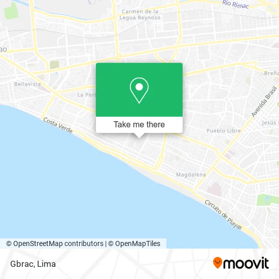
See Gbrac, San Miguel, on the map
Public Transit to Gbrac in San Miguel
Wondering how to get to Gbrac in San Miguel? Moovit helps you find the best way to get to Gbrac with step-by-step directions from the nearest public transit station.
Moovit provides free maps and live directions to help you navigate through your city. View schedules, routes, timetables, and find out how long does it take to get to Gbrac in real time.
Looking for the nearest stop or station to Gbrac? Check out this list of stops closest to your destination: Prados; Padre Urraca; Rafael Escardo; Parque De Las Leyendas; Hiraoka; Avenida La Paz.
Bus: 1163, 1275, 1304, 1315, 201, IO40, IM18, IM47, 204, OM19, 1030, 1143, 1205, 1207, 1219.
Want to see if there’s another route that gets you there at an earlier time? Moovit helps you find alternative routes or times. Get directions from and directions to Gbrac easily from the Moovit App or Website.
We make riding to Gbrac easy, which is why over 1.5 million users, including users in San Miguel, trust Moovit as the best app for public transit. You don’t need to download an individual bus app or train app, Moovit is your all-in-one transit app that helps you find the best bus time or train time available.
For information on prices of bus and metro, costs and ride fares to Gbrac, please check the Moovit app.
Use the app to navigate to popular places including to the airport, hospital, stadium, grocery store, mall, coffee shop, school, college, and university.
Gbrac Address: Calle Juan Valer Sandoval Maranga 1ra Etapa, 15087 San Miguel street in San Miguel
- Sool? Ag,
- Equss Perú,
- Cochella Maldonado Joaquín Mario,
- Asv Telefónica SRL,
- Colegio Personalizado Mis Talentos de San Miguel,
- Poxsi Producciones,
- Egoavildelcanto Álvaro Felix,
- Kndetallesconestilo Diseño y Producción,
- AV DEL PACIFICO ESPALDA DE TOTTUS DE LA MARINA,
- Almetales,
- Ginecólogo-Dr. César Espinoza Valderrama,
- Condominio Villa Marina Casa Club,
- Servicios de Teléfono-Telecomunicaciones S.A.C Lima,
- " Villa Marina",
- Avenida La Marina espalda Tottus cerca a Plaza San Miguel,
- Villa Marina Casa Club,
- Ímpetu Arcoíris Cursos,
- Calle Brigida Silva de ochoa,
- Calle Padre Urraca 140,
- Despachante de Aduana-Adualink S. A. c.
Places Near Gbrac (San Miguel)
- Miraflores, Miraflores,
- Parque Kennedy, Miraflores,
- Jockey Plaza, Santiago D,
- Hospital Edgardo Rebagliati Martins, Jesus Mari,
- Paradero Av.Brasil,
- Parque de las Leyendas, San Miguel,
- Mall Del Sur,
- Av. Abancay, Lima,
- Centro Comercial Plaza Norte, Independen,
- Barranco, Barranco,
- Real Plaza Puruchuco, Ate,
- Av. Salaverry, Jesus Mari,
- av arequipa, Lima,
- Plaza San Miguel, San Miguel,
- Pontificia Universidad Católica del Perú - PUCP, San Miguel,
- Circuito Mágico Del Agua, Lima,
- Gamarra,
- Aeropuerto Internacional Jorge Chávez, Ventanilla,
- Av. La Marina, San Miguel,
- Larcomar, Miraflores
How to get to popular places in Lima with public transit
Get around San Miguel by public transit!
Traveling around San Miguel has never been so easy. See step by step directions as you travel to any attraction, street or major public transit station. View bus and train schedules, arrival times, service alerts and detailed routes on a map, so you know exactly how to get to anywhere in San Miguel.
When traveling to any destination around San Miguel use Moovit's Live Directions with Get Off Notifications to know exactly where and how far to walk, how long to wait for your line, and how many stops are left. Moovit will alert you when it's time to get off — no need to constantly re-check whether yours is the next stop.
Wondering how to use public transit in San Miguel or how to pay for public transit in San Miguel? Moovit public transit app can help you navigate your way with public transit easily, and at minimum cost. It includes public transit fees, ticket prices, and costs. Looking for a map of San Miguel public transit lines? Moovit public transit app shows all public transit maps in San Miguel with all Bus, Metro and Ferry routes and stops on an interactive map.
Lima has 3 transit type(s), including: Bus, Metro and Ferry, operated by several transit agencies, including Metro de Lima Línea 2 , Metro de Lima, Corredor Rojo, Metropolitano, Metropolitano - Alimentadores, Corredor Morado, Corredor Azul, Rutas Tradicionales, Transportes y Servicios La Esperanza S.A., Las Flores S.A., Virgen de la Asunción S.A., Consorcio HAM, Transportes y Service Canadá S.A., ETUL4SA and ETUCHISA