How to get to Gcaar by bus?
Click on the bus route to see step by step directions with maps, line arrival times and updated time schedules.
From U.S. Naval Research Laboratory - NRL, Washington
105 minFrom Del Ray, Alexandria
67 minFrom Naval Research Lab, Washington
105 minFrom Nova- Alexandria Campus, Alexandria
70 minFrom George H.W. Bush Center For Intelligence (CIA Headquarters), Fairfax County
107 minFrom FSI, Arlington County
69 minFrom Marine Barracks Washington, Washington
53 minFrom I-295 Exit 1 - Naval Research Lab, Washington
88 minFrom British Embassy, Washington
51 minFrom Prince George's Plaza Metro Station, Prince George's County
80 min
How to get to Gcaar by metro?
Click on the metro route to see step by step directions with maps, line arrival times and updated time schedules.
Bus stops near Gcaar in Washington
Metro stations near Gcaar in Washington
Bus lines to Gcaar in Washington
- C91, East To Ledroit Park,VIEW
- D74, West To Potomac Park,VIEW
- D90, West To Tenleytown,VIEW
- D96, South To Potomac Park,VIEW
- D60, South To Franklin Sq,VIEW
- FLIXBUS 2601, New York (Hudson Yards),VIEW
- 305, 305/5 Columbia,VIEW
- 325, 325/4 Columbia,VIEW
- D70, South To Farragut Sq,VIEW
- D72, South To Lafayette Sq,VIEW
What are the closest stations to Gcaar?
The closest stations to Gcaar are:
- P St Nw+20 St NW is 69 yards away, 1 min walk.
- Massachusetts Av Nw+20 St NW is 108 yards away, 2 min walk.
- 16 St Nw+R St NW is 246 yards away, 3 min walk.
- Washington Dc (Dupont Circle) is 287 yards away, 4 min walk.
- New Hampshire & Dupont Cir NW Sb is 324 yards away, 4 min walk.
- Farragut North - NE Corner Connecticut Ave. &Amp; K St., NW (Elevator) is 377 yards away, 5 min walk.
- Connecticut Av Nw+R St NW is 442 yards away, 6 min walk.
- Farragut West is 468 yards away, 6 min walk.
- U Street is 1947 yards away, 24 min walk.
Which bus lines stop near Gcaar?
These bus lines stop near Gcaar: 305, A58, C51, C53, D60, D96.
Which metro line stops near Gcaar?
RED (Shady Grove)
What’s the nearest metro station to Gcaar in Washington?
The nearest metro station to Gcaar in Washington is Farragut North - NE Corner Connecticut Ave. &Amp; K St., NW (Elevator). It’s a 5 min walk away.
What’s the nearest bus station to Gcaar in Washington?
The nearest bus station to Gcaar in Washington is P St Nw+20 St NW. It’s a 1 min walk away.
What time is the first metro to Gcaar in Washington?
The GREEN is the first metro that goes to Gcaar in Washington. It stops nearby at 5:18 AM.
What time is the last metro to Gcaar in Washington?
The GREEN is the last metro that goes to Gcaar in Washington. It stops nearby at 12:23 AM.
What time is the first bus to Gcaar in Washington?
The D60 is the first bus that goes to Gcaar in Washington. It stops nearby at 3:01 AM.
What time is the last bus to Gcaar in Washington?
The D60 is the last bus that goes to Gcaar in Washington. It stops nearby at 3:05 AM.
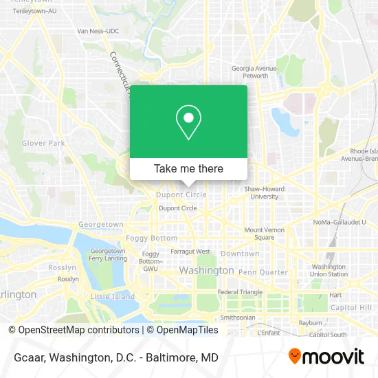
See Gcaar, Washington, on the map
Public Transit to Gcaar in Washington
Wondering how to get to Gcaar in Washington? Moovit helps you find the best way to get to Gcaar with step-by-step directions from the nearest public transit station.
Moovit provides free maps and live directions to help you navigate through your city. View schedules, routes, timetables, and find out how long does it take to get to Gcaar in real time.
Looking for the nearest stop or station to Gcaar? Check out this list of stops closest to your destination: P St Nw+20 St NW; Massachusetts Av Nw+20 St NW; 16 St Nw+R St NW; Washington Dc (Dupont Circle); New Hampshire & Dupont Cir NW Sb; Farragut North - NE Corner Connecticut Ave. &Amp; K St.; Connecticut Av Nw+R St NW; Farragut West; U Street.
Bus: 305, A58, C51, C53, D60, D96, C91, D74, D90.Metro: RED, BLUE, ORANGE, SILVER, GREEN, YELLOW.
Want to see if there’s another route that gets you there at an earlier time? Moovit helps you find alternative routes or times. Get directions from and directions to Gcaar easily from the Moovit App or Website.
We make riding to Gcaar easy, which is why over 1.7 million users, including users in Washington, trust Moovit as the best app for public transit. You don’t need to download an individual bus app or train app, Moovit is your all-in-one transit app that helps you find the best bus time or train time available.
For information on prices of metro and bus, costs and ride fares to Gcaar, please check the Moovit app.
Use the app to navigate to popular places including to the airport, hospital, stadium, grocery store, mall, coffee shop, school, college, and university.
Gcaar Address: 1615 New Hampshire Ave NW street in Washington
- Perry Belmont House,
- Embassy of Zimbabwe DC USA,
- Embassy Of Nicaragua,
- Embassy Of Zimbabwe,
- Embassy Of Argentina,
- Embassy of Singapore,
- Embassy of Botswana,
- Lyle's,
- Lyle Hotel,
- Lyle DC Washington,
- Zeta Phi Beta Sorority Inc. International Headquarters,
- Floriana,
- Waldo Strange, LMT,
- Embassy Of Jamaica,
- Embassy Of Sierra Leone,
- Trio's Fox & Hounds,
- World Bank Shuttle C-MC,
- The Dupont Circle Hotel,
- Fox & Hounds Neighborhood Sports Bar (Fox and Hounds Lounge),
- Agora
Places Near Gcaar (Washington)
- National Theatre, Washington,
- Pennsylvania Ave NW (3rd st and pennsylvania), Washington,
- Westfield Montgomery Mall, Montgomery County,
- Washington DC VA Medical Center, Washington,
- Sibley Memorial Hospital, Washington,
- Capital One Arena, Washington,
- National Museum of African American History and Culture, Washington,
- Camden Yards, Baltimore,
- Rock Creek Tennis Center, Washington,
- PG Mall, Prince George's County,
- Warner Theatre, Washington,
- Museum Of The Bible, Washington,
- Washington National Cathedral, Washington,
- M&T Bank Stadium, Baltimore,
- National Zoo, Washington,
- The Anthem, Washington,
- Georgetown, Washington,
- Marriott Marquis Washington, DC, Washington,
- Amazon Hq2, Arlington County,
- Basilica of the National Shrine, Washington
How to get to popular places in Washington, D.C. - Baltimore, MD with public transit
Get around Washington by public transit!
Traveling around Washington has never been so easy. See step by step directions as you travel to any attraction, street or major public transit station. View bus and train schedules, arrival times, service alerts and detailed routes on a map, so you know exactly how to get to anywhere in Washington.
When traveling to any destination around Washington use Moovit's Live Directions with Get Off Notifications to know exactly where and how far to walk, how long to wait for your line, and how many stops are left. Moovit will alert you when it's time to get off — no need to constantly re-check whether yours is the next stop.
Wondering how to use public transit in Washington or how to pay for public transit in Washington? Moovit public transit app can help you navigate your way with public transit easily, and at minimum cost. It includes public transit fees, ticket prices, and costs. Looking for a map of Washington public transit lines? Moovit public transit app shows all public transit maps in Washington with all Bus, Train, Metro, Light Rail and Ferry routes and stops on an interactive map.
Washington, D.C. - Baltimore, MD has 5 transit type(s), including: Bus, Train, Metro, Light Rail and Ferry, operated by several transit agencies, including WMATA, Montgomery County Ride On, Fairfax Connector, TheBus, PRTC, DASH - Alexandria, Arlington Transit (ART), RTA of Central Maryland, MDOT MTA, MDOT MTA Light RailLink, MDOT MTA Commuter Bus, MDOT MTA Local Bus, FXBGO!, Virginia Railway Express (VRE) and MARC