How to get to Georgetown Wing by bus?
Click on the bus route to see step by step directions with maps, line arrival times and updated time schedules.
From Foreign Service Institute, Arlington County
47 minFrom U.S. Naval Research Laboratory - NRL, Washington
111 minFrom Metrobar, Washington
58 minFrom Rayburn House Office Building, Washington
40 minFrom Citi Open, Washington
46 minFrom Naval Research Lab, Washington
111 minFrom Silver Spring, Maryland, Montgomery County
68 minFrom Costco, Washington
77 minFrom Cia Headquarters, Fairfax County
56 min
How to get to Georgetown Wing by metro?
Click on the metro route to see step by step directions with maps, line arrival times and updated time schedules.
Bus stops near Georgetown Wing in Washington
Metro stations near Georgetown Wing in Washington
Bus lines to Georgetown Wing in Washington
What are the closest stations to Georgetown Wing?
The closest stations to Georgetown Wing are:
- Nw M St & Nw 33rd St is 8 yards away, 1 min walk.
- M St NW & Wisconsin Ave NW is 351 yards away, 5 min walk.
- Prospect St Nw+36 St NW is 465 yards away, 6 min walk.
- Q St Nw+33 St NW is 727 yards away, 9 min walk.
- Dupont Circle Metro Station is 762 yards away, 10 min walk.
- Farragut West is 1200 yards away, 15 min walk.
Which bus lines stop near Georgetown Wing?
These bus lines stop near Georgetown Wing: A58, D80.
Which metro lines stop near Georgetown Wing?
These metro lines stop near Georgetown Wing: ORANGE, SILVER.
What’s the nearest metro station to Georgetown Wing in Washington?
The nearest metro station to Georgetown Wing in Washington is Dupont Circle Metro Station. It’s a 10 min walk away.
What’s the nearest bus station to Georgetown Wing in Washington?
The nearest bus station to Georgetown Wing in Washington is Nw M St & Nw 33rd St. It’s a 1 min walk away.
What time is the first metro to Georgetown Wing in Washington?
The ORANGE is the first metro that goes to Georgetown Wing in Washington. It stops nearby at 5:22 AM.
What time is the last metro to Georgetown Wing in Washington?
The BLUE is the last metro that goes to Georgetown Wing in Washington. It stops nearby at 12:16 AM.
What time is the first bus to Georgetown Wing in Washington?
The D80 is the first bus that goes to Georgetown Wing in Washington. It stops nearby at 3:10 AM.
What time is the last bus to Georgetown Wing in Washington?
The D80 is the last bus that goes to Georgetown Wing in Washington. It stops nearby at 3:11 AM.
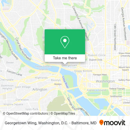
See Georgetown Wing, Washington, on the map
Public Transit to Georgetown Wing in Washington
Wondering how to get to Georgetown Wing in Washington? Moovit helps you find the best way to get to Georgetown Wing with step-by-step directions from the nearest public transit station.
Moovit provides free maps and live directions to help you navigate through your city. View schedules, routes, timetables, and find out how long does it take to get to Georgetown Wing in real time.
Looking for the nearest stop or station to Georgetown Wing? Check out this list of stops closest to your destination: Nw M St & Nw 33rd St; M St NW & Wisconsin Ave NW; Prospect St Nw+36 St NW; Q St Nw+33 St NW; Dupont Circle Metro Station; Farragut West.
Bus: A58, D80, C85, D82, C91, D94, D96.Metro: ORANGE, SILVER, RED, BLUE.
Want to see if there’s another route that gets you there at an earlier time? Moovit helps you find alternative routes or times. Get directions from and directions to Georgetown Wing easily from the Moovit App or Website.
We make riding to Georgetown Wing easy, which is why over 1.5 million users, including users in Washington, trust Moovit as the best app for public transit. You don’t need to download an individual bus app or train app, Moovit is your all-in-one transit app that helps you find the best bus time or train time available.
For information on prices of bus and metro, costs and ride fares to Georgetown Wing, please check the Moovit app.
Use the app to navigate to popular places including to the airport, hospital, stadium, grocery store, mall, coffee shop, school, college, and university.
Georgetown Wing Address: 3291 M St NW Washington, DC 20007 street in Washington
- Mighty Leaf Dispensary,
- Up N' Smoke LLC,
- The Cafe Joint,
- Grand Salon & Nail Bar,
- Billy Hicks,
- The United States-Azerbaijan Chamber of Commerce (Usacc),
- Georgetown Cupcake,
- Omni Online Strategies,
- Aesop Georgetown,
- Skims Georgetown,
- Sleepy Hollow,
- DMS Perla,
- Pmi Location,
- Craft Remodeling Company,
- Rimtang,
- Luke's (Georgetown Seafood),
- Georgetown Seafood,
- SDC,
- Eastbanc,
- Osteria Mozza
Places Near Georgetown Wing (Washington)
- Rock Creek Tennis Center, Washington,
- Marriott Marquis Washington, DC, Washington,
- Capital One Arena, Washington,
- Camden Yards, Baltimore,
- Georgetown, Washington,
- Museum Of The Bible, Washington,
- The Anthem, Washington,
- Basilica of the National Shrine, Washington,
- National Mall, Washington,
- Westfield Montgomery Mall, Montgomery County,
- Pennsylvania Ave NW (3rd st and pennsylvania), Washington,
- Warner Theatre, Washington,
- M&T Bank Stadium, Baltimore,
- National Zoo, Washington,
- PG Mall, Prince George's County,
- Washington National Cathedral, Washington,
- Sibley Memorial Hospital, Washington,
- Washington DC VA Medical Center, Washington,
- National Museum of African American History and Culture, Washington,
- Amazon Hq2, Arlington County
How to get to popular places in Washington, D.C. - Baltimore, MD with public transit
Get around Washington by public transit!
Traveling around Washington has never been so easy. See step by step directions as you travel to any attraction, street or major public transit station. View bus and train schedules, arrival times, service alerts and detailed routes on a map, so you know exactly how to get to anywhere in Washington.
When traveling to any destination around Washington use Moovit's Live Directions with Get Off Notifications to know exactly where and how far to walk, how long to wait for your line, and how many stops are left. Moovit will alert you when it's time to get off — no need to constantly re-check whether yours is the next stop.
Wondering how to use public transit in Washington or how to pay for public transit in Washington? Moovit public transit app can help you navigate your way with public transit easily, and at minimum cost. It includes public transit fees, ticket prices, and costs. Looking for a map of Washington public transit lines? Moovit public transit app shows all public transit maps in Washington with all Bus, Train, Metro, Light Rail and Ferry routes and stops on an interactive map.
Washington, D.C. - Baltimore, MD has 5 transit type(s), including: Bus, Train, Metro, Light Rail and Ferry, operated by several transit agencies, including WMATA, Montgomery County Ride On, Fairfax Connector, TheBus, PRTC, DASH - Alexandria, Arlington Transit (ART), RTA of Central Maryland, MDOT MTA, MDOT MTA Light RailLink, MDOT MTA Commuter Bus, MDOT MTA Local Bus, FXBGO!, Virginia Railway Express (VRE) and MARC