How to get to Get Helpers by bus?
Click on the bus route to see step by step directions with maps, line arrival times and updated time schedules.
From Manassas, VA, Manassas
228 minFrom Fairfax County Government Center, Fairfax County
51 minFrom King Spa, Loudoun County
153 minFrom Fairfax County Courthouse, Fairfax County
68 minFrom EagleBank Arena, Fairfax County
100 minFrom Fair Oaks Mall, Fairfax County
63 minFrom Amazon Iad28, Fairfax County
86 minFrom Inova Fair Oaks Hospital, Fairfax County
67 minFrom George Mason University, Fairfax County
94 min
Bus stops near Get Helpers in Fairfax County
What are the closest stations to Get Helpers?
The closest stations to Get Helpers are:
- Newton Patent Dr @ Red House Dr is 284 yards away, 4 min walk.
- Trinity Pkwy @ 5895 Trinity Pkwy is 2739 yards away, 32 min walk.
Which bus lines stop near Get Helpers?
These bus lines stop near Get Helpers: 642, 660, 662, 901.
What’s the nearest bus station to Get Helpers in Fairfax County?
The nearest bus station to Get Helpers in Fairfax County is Newton Patent Dr @ Red House Dr. It’s a 4 min walk away.
What time is the first bus to Get Helpers in Fairfax County?
The 642 is the first bus that goes to Get Helpers in Fairfax County. It stops nearby at 5:42 AM.
What time is the last bus to Get Helpers in Fairfax County?
The 610 is the last bus that goes to Get Helpers in Fairfax County. It stops nearby at 9:43 PM.
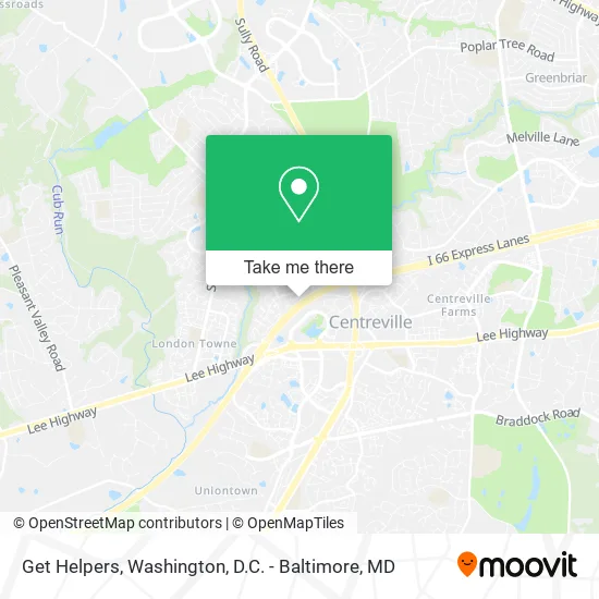
See Get Helpers, Fairfax County, on the map
Public Transit to Get Helpers in Fairfax County
Wondering how to get to Get Helpers in Fairfax County? Moovit helps you find the best way to get to Get Helpers with step-by-step directions from the nearest public transit station.
Moovit provides free maps and live directions to help you navigate through your city. View schedules, routes, timetables, and find out how long does it take to get to Get Helpers in real time.
Looking for the nearest stop or station to Get Helpers? Check out this list of stops closest to your destination: Newton Patent Dr @ Red House Dr; Trinity Pkwy @ 5895 Trinity Pkwy.
Bus: 642, 660, 662, 901, 610.
Want to see if there’s another route that gets you there at an earlier time? Moovit helps you find alternative routes or times. Get directions from and directions to Get Helpers easily from the Moovit App or Website.
We make riding to Get Helpers easy, which is why over 1.5 million users, including users in Fairfax County, trust Moovit as the best app for public transit. You don’t need to download an individual bus app or train app, Moovit is your all-in-one transit app that helps you find the best bus time or train time available.
For information on prices of bus, metro and train, costs and ride fares to Get Helpers, please check the Moovit app.
Use the app to navigate to popular places including to the airport, hospital, stadium, grocery store, mall, coffee shop, school, college, and university.
Get Helpers Address: 14303 Watery Mountain Ct Centreville, VA 20120 street in Fairfax County
- Carfax,
- Rentz Industries,
- Kern, Andrew - Ameriprise Financial,
- A D T,
- Newgate Community Pool,
- Firefly Daycare Academy,
- Prosperity Lawn & Landscape,
- Temeku Technologies,
- NVR Settlement,
- Life Time Cafe 117q22,
- CH Realty VIII-JLB MF Fairfax Trinity,
- Evolve Dental,
- M&T Bank,
- Five Guys,
- Roca Professional Pain,
- Riddle Electric,
- Andi's Angels Dog Walking & Pet Sitting,
- Much Junk Removal,
- Sayed Painting & Handyman Service,
- DMV Duct and Chimney Cleaning
Places Near Get Helpers (Fairfax County)
- The Anthem, Washington,
- Basilica of the National Shrine, Washington,
- National Theatre, Washington,
- Sibley Memorial Hospital, Washington,
- Capital One Arena, Washington,
- Warner Theatre, Washington,
- National Museum of African American History and Culture, Washington,
- Camden Yards, Baltimore,
- Georgetown, Washington,
- Washington National Cathedral, Washington,
- Washington DC VA Medical Center, Washington,
- PG Mall, Prince George's County,
- Museum Of The Bible, Washington,
- Westfield Montgomery Mall, Montgomery County,
- Marriott Marquis Washington, DC, Washington,
- Amazon Hq2, Arlington County,
- Rock Creek Tennis Center, Washington,
- Pennsylvania Ave NW (3rd st and pennsylvania), Washington,
- M&T Bank Stadium, Baltimore,
- National Zoo, Washington
How to get to popular places in Washington, D.C. - Baltimore, MD with public transit
Get around Fairfax County by public transit!
Traveling around Fairfax County has never been so easy. See step by step directions as you travel to any attraction, street or major public transit station. View bus and train schedules, arrival times, service alerts and detailed routes on a map, so you know exactly how to get to anywhere in Fairfax County.
When traveling to any destination around Fairfax County use Moovit's Live Directions with Get Off Notifications to know exactly where and how far to walk, how long to wait for your line, and how many stops are left. Moovit will alert you when it's time to get off — no need to constantly re-check whether yours is the next stop.
Wondering how to use public transit in Fairfax County or how to pay for public transit in Fairfax County? Moovit public transit app can help you navigate your way with public transit easily, and at minimum cost. It includes public transit fees, ticket prices, and costs. Looking for a map of Fairfax County public transit lines? Moovit public transit app shows all public transit maps in Fairfax County with all Bus, Train, Metro, Light Rail and Ferry routes and stops on an interactive map.
Washington, D.C. - Baltimore, MD has 5 transit type(s), including: Bus, Train, Metro, Light Rail and Ferry, operated by several transit agencies, including WMATA, Montgomery County Ride On, Fairfax Connector, TheBus, PRTC, DASH - Alexandria, Arlington Transit (ART), RTA of Central Maryland, MDOT MTA, MDOT MTA Light RailLink, MDOT MTA Commuter Bus, MDOT MTA Local Bus, FXBGO!, Virginia Railway Express (VRE) and MARC