Gianicolense/S. V. De Paoli stop - Wednesday schedule
| Line | Direction | Time |
|---|---|---|
| N719 | Candoni/Atac Depot | 3:03 AM |
| N719 | Candoni/Atac Depot | 3:03 AM |
| N719 | Candoni/Atac Depot | 3:43 AM |
| N719 | Candoni/Atac Depot | 3:43 AM |
| N719 | Candoni/Atac Depot | 4:23 AM |
| N719 | Candoni/Atac Depot | 4:23 AM |
| N719 | Candoni/Atac Depot | 5:03 AM |
| N719 | Candoni/Atac Depot | 5:03 AM |
| 791 | Cornelia (MA) | 5:23 AM |
| 792 | Eudes | 5:35 AM |
| 719 | Crocco/Mercanti | 5:42 AM |
| 228 | Trastevere Station | 5:42 AM |
| 710 | Lenin | 5:46 AM |
| 773 | Bosco Arvali | 5:47 AM |
| 791 | Cornelia (MA) | 5:51 AM |
| 792 | Eudes | 5:52 AM |
| 228 | Trastevere Station | 5:58 AM |
| 792 | Eudes | 6:00 AM |
| 719 | Crocco/Mercanti | 6:01 AM |
| 786 | Reduzzi | 6:03 AM |
| 791 | Cornelia (MA) | 6:06 AM |
| 773 | Bosco Arvali | 6:07 AM |
| 792 | Eudes | 6:08 AM |
| 710 | Lenin | 6:11 AM |
| 228 | Trastevere Station | 6:13 AM |
Directions to Gianicolense/S. V. De Paoli stop (Rome) with public transit
The following transit lines have routes that pass near Gianicolense/S. V. De Paoli
 Bus: 228, 719, 791, 792, H.
- Train: FL1, R, R, R, RV.
- Metro: B.
How to get to Gianicolense/S. V. De Paoli stop by bus?
Click on the bus route to see step by step directions with maps, line arrival times and updated time schedules.
How to get to Gianicolense/S. V. De Paoli stop by train?
Click on the train route to see step by step directions with maps, line arrival times and updated time schedules.
How to get to Gianicolense/S. V. De Paoli stop by metro?
Click on the metro route to see step by step directions with maps, line arrival times and updated time schedules.
Bus stops near Gianicolense/S. V. De Paoli stop in Rome
- Donna Olimpia/Betti U., 1 min walk,
- Quattro Venti/Dunant, 3 min walk,
- Gianicolense/Massi, 5 min walk,
- Gianicolense/S. Camillo Hospital, 6 min walk,
- Gianicolense/Dunant, 6 min walk,
- Gianicolense/White Bridge, 6 min walk,
Train stations near Gianicolense/S. V. De Paoli station in Rome
- Roma Trastevere, 17 min walk,
Bus lines to Gianicolense/S. V. De Paoli stop in Rome
- 871, Trastevere Station,
- 710, Lenin,
- 228, Trastevere Station,
- 719, Partigiani (Station),
- N719, Candoni/Atac Depot,
- 773, Trastevere Station,
- 774, Trastevere Station (Rail),
- 786, Reduzzi,
- 786F, Bosco Arvali,
- C6, Flaminio Cemetery,
- H, Dei Capasso,
- N8, Termini (Metro A-Metro B-Railway),
- 791, Nervi/Sports Palace,
- 792, Porta San Giovanni (MA),
- 8BUS, Gianicolense/Casaletto,
- 8, Casaletto,
What are the closest stations to Gianicolense/S. V. De Paoli?
The closest stations to Gianicolense/S. V. De Paoli are:
- Donna Olimpia/Betti U. is 65 meters away, 1 min walk.
- Quattro Venti/Dunant is 217 meters away, 3 min walk.
- Gianicolense/Massi is 367 meters away, 5 min walk.
- Gianicolense/S. Camillo Hospital is 403 meters away, 6 min walk.
- Gianicolense/Dunant is 422 meters away, 6 min walk.
- Gianicolense/White Bridge is 444 meters away, 6 min walk.
- Roma Trastevere is 1297 meters away, 17 min walk.
Which bus lines stop near Gianicolense/S. V. De Paoli?
These bus lines stop near Gianicolense/S. V. De Paoli: 228, 719, 791, 792, H.
Which train line stops near Gianicolense/S. V. De Paoli?
FL1 (Fiumicino Airport)
Which metro line stops near Gianicolense/S. V. De Paoli?
B (Laurentina)
What’s the nearest train station to Gianicolense/S. V. De Paoli in Rome?
The nearest train station to Gianicolense/S. V. De Paoli in Rome is Roma Trastevere. It’s a 17 min walk away.
What’s the nearest bus station to Gianicolense/S. V. De Paoli in Rome?
The nearest bus station to Gianicolense/S. V. De Paoli in Rome is Donna Olimpia/Betti U.. It’s a 1 min walk away.
What time is the first light rail to Gianicolense/S. V. De Paoli in Rome?
The 8 is the first light rail that goes to Gianicolense/S. V. De Paoli in Rome. It stops nearby at 4:55 AM.
What time is the last light rail to Gianicolense/S. V. De Paoli in Rome?
The 8 is the last light rail that goes to Gianicolense/S. V. De Paoli in Rome. It stops nearby at 1:13 AM.
What time is the first train to Gianicolense/S. V. De Paoli in Rome?
The FL1 is the first train that goes to Gianicolense/S. V. De Paoli in Rome. It stops nearby at 5:21 AM.
What time is the last train to Gianicolense/S. V. De Paoli in Rome?
The FL1 is the last train that goes to Gianicolense/S. V. De Paoli in Rome. It stops nearby at 11:54 PM.
What time is the first bus to Gianicolense/S. V. De Paoli in Rome?
The N8 is the first bus that goes to Gianicolense/S. V. De Paoli in Rome. It stops nearby at 3:00 AM.
What time is the last bus to Gianicolense/S. V. De Paoli in Rome?
The N8 is the last bus that goes to Gianicolense/S. V. De Paoli in Rome. It stops nearby at 3:09 AM.
Gianicolense/S. V. De Paoli station
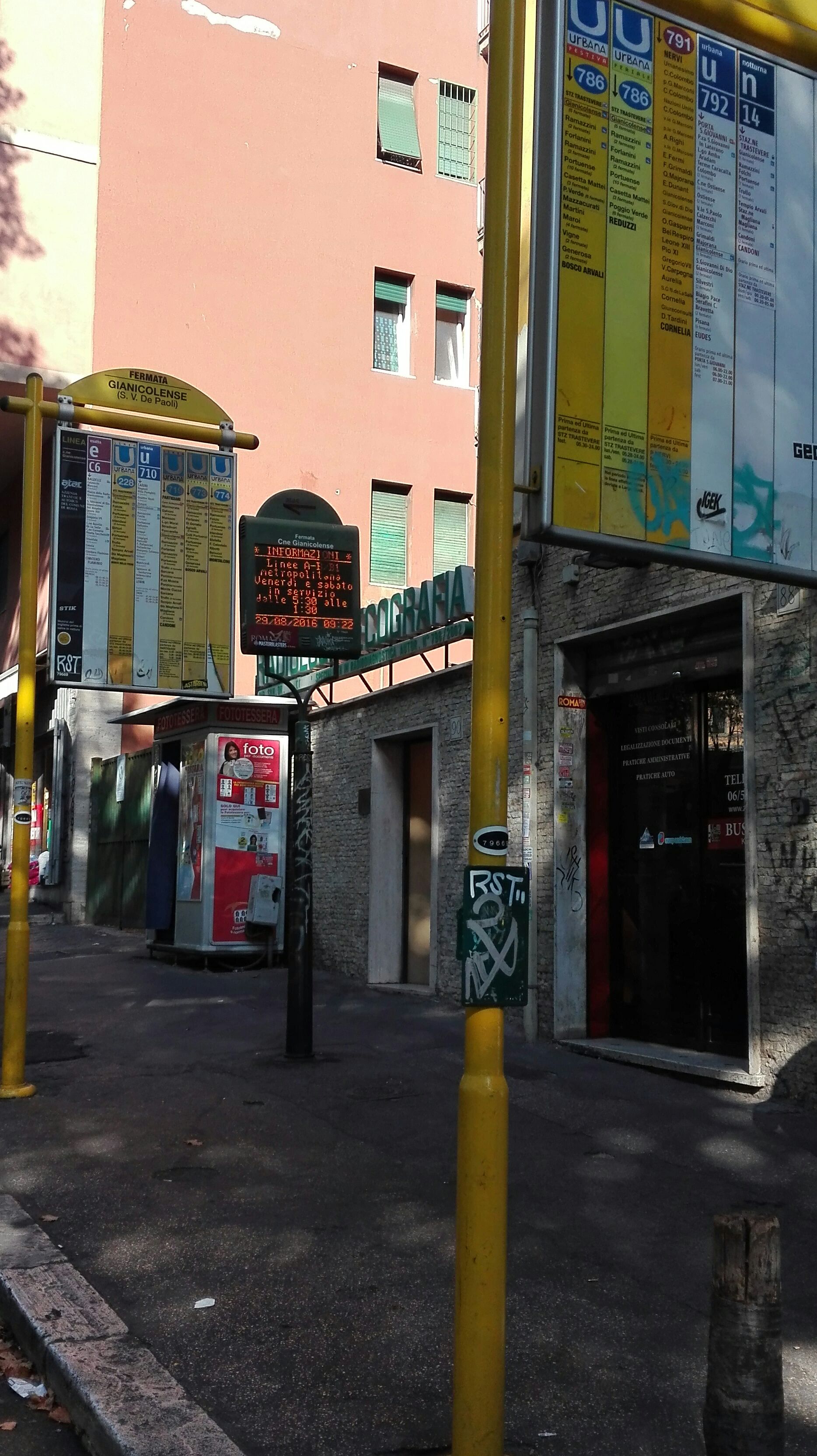 Taken by Anil R.
See Gianicolense/S. V. De Paoli stop, Rome, on the map
Public transit to Gianicolense/S. V. De Paoli stop (ID: 79669) in Rome
Looking for directions to Gianicolense/S. V. De Paoli in Rome, Italy?
Download the Moovit App to find the current schedule and step-by-step directions for Bus, Metro, Train or Light Rail routes that pass through Gianicolense/S. V. De Paoli.
Looking for the nearest stops closest to Gianicolense/S. V. De Paoli ? Check out this list of closest stops to your destination: Donna Olimpia/Betti U.; Quattro Venti/Dunant; Gianicolense/Massi; Gianicolense/S. Camillo Hospital; Gianicolense/Dunant; Gianicolense/White Bridge; Roma Trastevere.
Bus: 228, 719, 791, 792, H, 871, 710, N719, 773, 774, N8, 8BUS.Train: FL1, R, R, R, RV.Metro: B.
We make riding on public transit to Gianicolense/S. V. De Paoli easy, which is why over 1.5 million users, including users in Rome trust Moovit as the best app for public transit.
Use the app to navigate to popular places including to the airport, hospital, stadium, grocery store, mall, coffee shop, school, college, and university.
Gianicolense/S. V. De Paoli stop’s code is 79669
The first line to this stop is N719, at 3:03 AM, and the last line is N719 at 2:23 AM.
86 Circonvallazione Gianicolense, Roma, Italy
This stop serves ATAC, ATAC, Tuscia and BIS’s lines
Popular routes from Gianicolense/S. V. De Paoli stop, Rome
- Donna Olimpia/Betti U.,
- Quattro Venti/Dunant,
- Gianicolense/Massi,
- Gianicolense/S. Camillo Hospital,
- Gianicolense/Dunant,
- Gianicolense/White Bridge
Bus stops near Gianicolense/S. V. De Paoli stop
- Roma Trastevere
Train station near Gianicolense/S. V. De Paoli station
- Marconi (Metro),
- Delle Arti Street,
- Mouth of Truth,
- Aurelia/Richelmy,
- EUR Palasport,
- Frosinone,
- Polar Star,
- Mameli,
- Riano | Rianese Street Old Road,
- Civitella Paganico,
- Colombo/Rufino,
- Civita Castellana - Magliano,
- Santa Maria Delle Mole | Appia Road (Ice Palace),
- Ladispoli, Falcone Square,
- Rome | Salaria Road (Quattro Cancelli),
- Tuscolana/Amelia,
- Casal Boccone/Almaviva,
- Giorgio Giorgis Street, 164,
- Alessandro Magno/Casal Palocco,
- Nervi/Sports Palace
Popular public transit stations in Rome
Get around Rome by public transit!
Traveling around Rome has never been so easy. See step by step directions as you travel to any attraction, street or major public transit station. View bus and train schedules, arrival times, service alerts and detailed routes on a map, so you know exactly how to get to anywhere in Rome.
When traveling to any destination around Rome use Moovit's Live Directions with Get Off Notifications to know exactly where and how far to walk, how long to wait for your line, and how many stops are left. Moovit will alert you when it's time to get off — no need to constantly re-check whether yours is the next stop.
Wondering how to use public transit in Rome or how to pay for public transit in Rome? Moovit public transit app can help you navigate your way with public transit easily, and at minimum cost. It includes public transit fees, ticket prices, and costs. Looking for a map of Rome public transit lines? Moovit public transit app shows all public transit maps in Rome with all Bus, Train, Metro, Light Rail, Ferry, Funicular and Gondola routes and stops on an interactive map.
Rome and Lazio has 7 transit type(s), including: Bus, Train, Metro, Light Rail, Ferry, Funicular and Gondola, operated by several transit agencies, including ATAC, Cotral, Trenitalia, Troiani Transportation Services, BIS, ATR Mobility, Tuscia, Shuttle, Seatour, Troiani Bus Lines, CSC Mobility, Terravision, ATRAL, Tambus and Sitbus