How to get to Go Rescue Dogs by bus?
Click on the bus route to see step by step directions with maps, line arrival times and updated time schedules.
How to get to Go Rescue Dogs by train?
Click on the train route to see step by step directions with maps, line arrival times and updated time schedules.
Bus stops near Go Rescue Dogs in Norfolk
Light Rail stations near Go Rescue Dogs in Norfolk
- Evmc Fort Norfolk Station, 38 min walk,VIEW
Bus lines to Go Rescue Dogs in Norfolk
What are the closest stations to Go Rescue Dogs?
The closest stations to Go Rescue Dogs are:
- 21st & Omohundro is 46 yards away, 1 min walk.
- Colonial & 21st is 559 yards away, 7 min walk.
- Monticello & 19th is 562 yards away, 7 min walk.
- Evmc Fort Norfolk Station is 3179 yards away, 38 min walk.
Which bus lines stop near Go Rescue Dogs?
These bus lines stop near Go Rescue Dogs: 023, 961.
Which train line stops near Go Rescue Dogs?
NORTHEAST REGIONAL (Norfolk)
Which light rail line stops near Go Rescue Dogs?
800 (Evmc Fort Norfolk Station)
What’s the nearest bus station to Go Rescue Dogs in Norfolk?
The nearest bus station to Go Rescue Dogs in Norfolk is 21st & Omohundro. It’s a 1 min walk away.
What time is the first light rail to Go Rescue Dogs in Norfolk?
The 800 is the first light rail that goes to Go Rescue Dogs in Norfolk. It stops nearby at 5:27 AM.
What time is the last light rail to Go Rescue Dogs in Norfolk?
The 800 is the last light rail that goes to Go Rescue Dogs in Norfolk. It stops nearby at 11:40 PM.
What time is the first bus to Go Rescue Dogs in Norfolk?
The 961 is the first bus that goes to Go Rescue Dogs in Norfolk. It stops nearby at 3:50 AM.
What time is the last bus to Go Rescue Dogs in Norfolk?
The 003 is the last bus that goes to Go Rescue Dogs in Norfolk. It stops nearby at 12:59 AM.
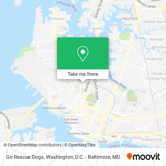
See Go Rescue Dogs, Norfolk, on the map
Public Transit to Go Rescue Dogs in Norfolk
Wondering how to get to Go Rescue Dogs in Norfolk? Moovit helps you find the best way to get to Go Rescue Dogs with step-by-step directions from the nearest public transit station.
Moovit provides free maps and live directions to help you navigate through your city. View schedules, routes, timetables, and find out how long does it take to get to Go Rescue Dogs in real time.
Looking for the nearest stop or station to Go Rescue Dogs? Check out this list of stops closest to your destination: 21st & Omohundro; Colonial & 21st; Monticello & 19th; Evmc Fort Norfolk Station.
Bus: 023, 961, 004, 001, 003, 011.Train: NORTHEAST REGIONAL.Light Rail: 800.
Want to see if there’s another route that gets you there at an earlier time? Moovit helps you find alternative routes or times. Get directions from and directions to Go Rescue Dogs easily from the Moovit App or Website.
We make riding to Go Rescue Dogs easy, which is why over 1.5 million users, including users in Norfolk, trust Moovit as the best app for public transit. You don’t need to download an individual bus app or train app, Moovit is your all-in-one transit app that helps you find the best bus time or train time available.
For information on prices of bus, train and light rail, costs and ride fares to Go Rescue Dogs, please check the Moovit app.
Use the app to navigate to popular places including to the airport, hospital, stadium, grocery store, mall, coffee shop, school, college, and university.
Go Rescue Dogs Address: 222 W 21st St Norfolk, VA 23517 street in Norfolk
- Zeiders Enterprises,
- Sundays Sun Spa Shop,
- Advanced Electrolysis,
- Alliance Francaise, Chapitre de Grasse,
- Groomingdale's,
- Digital Lens Rental,
- We Fix It Phone Repair,
- Dorothy's BBQ Smokehouse,
- Island Krave,
- Spartan Investigations,
- USPS Collection Box - Blue Box,
- Marco Polo,
- Que Bella,
- Kin's Wok Ghent,
- Bec Group,
- Moxie Products,
- Global Surf Network,
- Dba Norfolk,
- Clayton Phillips Jiu Jitsu,
- Batteries+Bulbs
Places Near Go Rescue Dogs (Norfolk)
- Washington DC VA Medical Center, Washington,
- Camden Yards, Baltimore,
- National Mall, Washington,
- National Zoo, Washington,
- Rock Creek Tennis Center, Washington,
- Westfield Montgomery Mall, Montgomery County,
- Amazon Hq2, Arlington County,
- Georgetown, Washington,
- Sibley Memorial Hospital, Washington,
- Marriott Marquis Washington, DC, Washington,
- Washington National Cathedral, Washington,
- Museum Of The Bible, Washington,
- Capital One Arena, Washington,
- Pennsylvania Ave NW (3rd st and pennsylvania), Washington,
- The Anthem, Washington,
- M&T Bank Stadium, Baltimore,
- National Museum of African American History and Culture, Washington,
- PG Mall, Prince George's County,
- Basilica of the National Shrine, Washington,
- Warner Theatre, Washington
How to get to popular places in Washington, D.C. - Baltimore, MD with public transit
Get around Norfolk by public transit!
Traveling around Norfolk has never been so easy. See step by step directions as you travel to any attraction, street or major public transit station. View bus and train schedules, arrival times, service alerts and detailed routes on a map, so you know exactly how to get to anywhere in Norfolk.
When traveling to any destination around Norfolk use Moovit's Live Directions with Get Off Notifications to know exactly where and how far to walk, how long to wait for your line, and how many stops are left. Moovit will alert you when it's time to get off — no need to constantly re-check whether yours is the next stop.
Wondering how to use public transit in Norfolk or how to pay for public transit in Norfolk? Moovit public transit app can help you navigate your way with public transit easily, and at minimum cost. It includes public transit fees, ticket prices, and costs. Looking for a map of Norfolk public transit lines? Moovit public transit app shows all public transit maps in Norfolk with all Bus, Train, Metro, Light Rail and Ferry routes and stops on an interactive map.
Washington, D.C. - Baltimore, MD has 5 transit type(s), including: Bus, Train, Metro, Light Rail and Ferry, operated by several transit agencies, including WMATA, Montgomery County Ride On, Fairfax Connector, TheBus, PRTC, DASH - Alexandria, Arlington Transit (ART), RTA of Central Maryland, MDOT MTA, MDOT MTA Light RailLink, MDOT MTA Commuter Bus, MDOT MTA Local Bus, FXBGO!, Virginia Railway Express (VRE) and MARC