Directions to Good Feet Store (Chesterfield County) with public transportation
The following transit lines have routes that pass near Good Feet Store
 Bus: 1A.
How to get to Good Feet Store by bus?
Click on the bus route to see step by step directions with maps, line arrival times and updated time schedules.
From Potomac Mills Mall, Prince William County
259 minFrom Lorton, VA - Amtrak Auto Train Station (LOR), Fairfax County
274 minFrom Busch Gardens Williamsburg (Employee Parking Lot), James City County
200 minFrom Lorton, VA, Fairfax County
268 minFrom Rose Gaming Resort, Prince William County
284 minFrom UVA Hospital Medical Center, Charlottesville
348 minFrom Woodbridge, VA, Prince William County
203 minFrom Amazon Fulfillment Center-Ric3, Richmond
93 min
Bus stop near Good Feet Store in Chesterfield County
- Midlothian & Stone Village Way, 4 min walk,VIEW
Bus lines to Good Feet Store in Chesterfield County
- 1A, Hull/Midlothian Via Southside Plaza,VIEW
What are the closest stations to Good Feet Store?
The closest stations to Good Feet Store are:
- Midlothian & Stone Village Way is 227 yards away, 4 min walk.
Which bus line stops near Good Feet Store?
1A (Hull/Midlothian Via Southside Plaza)
What’s the nearest bus station to Good Feet Store in Chesterfield County?
The nearest bus station to Good Feet Store in Chesterfield County is Midlothian & Stone Village Way. It’s a 4 min walk away.
What time is the first bus to Good Feet Store in Chesterfield County?
The 1A is the first bus that goes to Good Feet Store in Chesterfield County. It stops nearby at 5:40 AM.
What time is the last bus to Good Feet Store in Chesterfield County?
The 1A is the last bus that goes to Good Feet Store in Chesterfield County. It stops nearby at 12:16 AM.
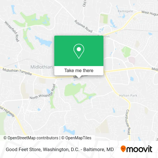
See Good Feet Store, Chesterfield County, on the map
Public Transit to Good Feet Store in Chesterfield County
Wondering how to get to Good Feet Store in Chesterfield County? Moovit helps you find the best way to get to Good Feet Store with step-by-step directions from the nearest public transit station.
Moovit provides free maps and live directions to help you navigate through your city. View schedules, routes, timetables, and find out how long does it take to get to Good Feet Store in real time.
Looking for the nearest stop or station to Good Feet Store? Check out this list of stops closest to your destination: Midlothian & Stone Village Way.
Bus: 1A.
Want to see if there’s another route that gets you there at an earlier time? Moovit helps you find alternative routes or times. Get directions from and directions to Good Feet Store easily from the Moovit App or Website.
We make riding to Good Feet Store easy, which is why over 1.5 million users, including users in Chesterfield County, trust Moovit as the best app for public transit. You don’t need to download an individual bus app or train app, Moovit is your all-in-one transit app that helps you find the best bus time or train time available.
For information on prices of bus and train, costs and ride fares to Good Feet Store, please check the Moovit app.
Use the app to navigate to popular places including to the airport, hospital, stadium, grocery store, mall, coffee shop, school, college, and university.
Good Feet Store Address: 12743 Stone Village Way Midlothian, VA 23113 street in Chesterfield County
- Affordable Dentures & Implants,
- Bedcrafters by Michelle,
- Chopt,
- Hand & Stone Massage and Facial Spa,
- Blaze Pizza,
- Hand & Stone,
- European Wax Center,
- Escape Nails & Spa,
- Buff City Soap,
- La-Z-Boy,
- Richmond Metro Eye Care,
- Visionworks,
- Select Physical Therapy,
- Novacare Rehabilitation,
- Seabeds by Michelle,
- T-Mobile,
- American Family Care,
- Afc Urgent Care Midlothian,
- Taziki's Mediterranean Cafe,
- 101 Crafthouse
Places Near Good Feet Store (Chesterfield County)
- Washington DC VA Medical Center, Washington,
- Capital One Arena, Washington,
- National Museum of African American History and Culture, Washington,
- Washington National Cathedral, Washington,
- Amazon Hq2, Arlington County,
- M&T Bank Stadium, Baltimore,
- PG Mall, Prince George's County,
- Warner Theatre, Washington,
- Basilica of the National Shrine, Washington,
- Georgetown, Washington,
- National Zoo, Washington,
- Rock Creek Tennis Center, Washington,
- Pennsylvania Ave NW (3rd st and pennsylvania), Washington,
- Sibley Memorial Hospital, Washington,
- National Theatre, Washington,
- Museum Of The Bible, Washington,
- Camden Yards, Baltimore,
- Marriott Marquis Washington, DC, Washington,
- Westfield Montgomery Mall, Montgomery County,
- The Anthem, Washington
How to get to popular places in Washington, D.C. - Baltimore, MD with public transit
Get around Chesterfield County by public transit!
Traveling around Chesterfield County has never been so easy. See step by step directions as you travel to any attraction, street or major public transit station. View bus and train schedules, arrival times, service alerts and detailed routes on a map, so you know exactly how to get to anywhere in Chesterfield County.
When traveling to any destination around Chesterfield County use Moovit's Live Directions with Get Off Notifications to know exactly where and how far to walk, how long to wait for your line, and how many stops are left. Moovit will alert you when it's time to get off — no need to constantly re-check whether yours is the next stop.
Wondering how to use public transit in Chesterfield County or how to pay for public transit in Chesterfield County? Moovit public transit app can help you navigate your way with public transit easily, and at minimum cost. It includes public transit fees, ticket prices, and costs. Looking for a map of Chesterfield County public transit lines? Moovit public transit app shows all public transit maps in Chesterfield County with all Bus, Train, Metro, Light Rail and Ferry routes and stops on an interactive map.
Washington, D.C. - Baltimore, MD has 5 transit type(s), including: Bus, Train, Metro, Light Rail and Ferry, operated by several transit agencies, including WMATA, Montgomery County Ride On, Fairfax Connector, TheBus, PRTC, DASH - Alexandria, Arlington Transit (ART), RTA of Central Maryland, MDOT MTA, MDOT MTA Light RailLink, MDOT MTA Commuter Bus, MDOT MTA Local Bus, FXBGO!, Virginia Railway Express (VRE) and MARC