How to get to Goodevas by bus?
Click on the bus route to see step by step directions with maps, line arrival times and updated time schedules.
From South Ave, Staten Island
100 minFrom Staten Island Mall, Staten Island
58 minFrom Staten Island, NY, Staten Island
70 minFrom DMV, Staten Island
72 minFrom Linden, NJ, Linden
256 minFrom PNC Bank Arts Center, Holmdel
399 minFrom Baps Shri Swaminarayan Mandir, Edison, NJ, USA, Edison
184 minFrom Walmart, Linden
173 minFrom Edison NJ, Edison
179 minFrom HUUHHHH??, Woodbridge
219 min
How to get to Goodevas by subway?
Click on the subway route to see step by step directions with maps, line arrival times and updated time schedules.
Subway station near Goodevas in Staten Island
- Arthur Kill, 2 min walk,VIEW
Bus stops near Goodevas in Staten Island
Bus lines to Goodevas in Staten Island
What are the closest stations to Goodevas?
The closest stations to Goodevas are:
- Arthur Kill is 69 yards away, 2 min walk.
- Arthur Kill Rd/Nassau Pl is 328 yards away, 5 min walk.
- Amboy Rd/Brehaut Av is 1073 yards away, 13 min walk.
Which bus lines stop near Goodevas?
These bus lines stop near Goodevas: S74, S78, SIM26.
Which subway line stops near Goodevas?
SIR (Tottenville)
What’s the nearest subway station to Goodevas in Staten Island?
The nearest subway station to Goodevas in Staten Island is Arthur Kill. It’s a 2 min walk away.
What’s the nearest bus station to Goodevas in Staten Island?
The nearest bus station to Goodevas in Staten Island is Arthur Kill Rd/Nassau Pl. It’s a 5 min walk away.
What time is the first subway to Goodevas in Staten Island?
The SIR is the first subway that goes to Goodevas in Staten Island. It stops nearby at 3:01 AM.
What time is the last subway to Goodevas in Staten Island?
The SIR is the last subway that goes to Goodevas in Staten Island. It stops nearby at 3:18 AM.
What time is the first bus to Goodevas in Staten Island?
The S78 is the first bus that goes to Goodevas in Staten Island. It stops nearby at 3:22 AM.
What time is the last bus to Goodevas in Staten Island?
The S78 is the last bus that goes to Goodevas in Staten Island. It stops nearby at 3:27 AM.
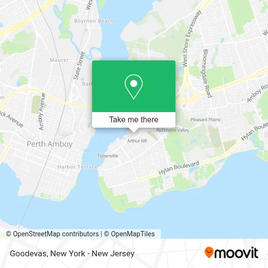
See Goodevas, Staten Island, on the map
Public Transit to Goodevas in Staten Island
Wondering how to get to Goodevas in Staten Island? Moovit helps you find the best way to get to Goodevas with step-by-step directions from the nearest public transit station.
Moovit provides free maps and live directions to help you navigate through your city. View schedules, routes, timetables, and find out how long does it take to get to Goodevas in real time.
Looking for the nearest stop or station to Goodevas? Check out this list of stops closest to your destination: Arthur Kill; Arthur Kill Rd/Nassau Pl; Amboy Rd/Brehaut Av.
Bus: S74, S78, SIM26.Subway: SIR.
Want to see if there’s another route that gets you there at an earlier time? Moovit helps you find alternative routes or times. Get directions from and directions to Goodevas easily from the Moovit App or Website.
We make riding to Goodevas easy, which is why over 1.5 million users, including users in Staten Island, trust Moovit as the best app for public transit. You don’t need to download an individual bus app or train app, Moovit is your all-in-one transit app that helps you find the best bus time or train time available.
For information on prices of bus, subway and train, costs and ride fares to Goodevas, please check the Moovit app.
Use the app to navigate to popular places including to the airport, hospital, stadium, grocery store, mall, coffee shop, school, college, and university.
Goodevas Address: 101 Ellis St street in Staten Island
- Blackdog Doghaus,
- The Flowers Lovers,
- Outerbridge Athletics,
- Circle of Love Fellowship,
- Taphouse Mma,
- Turn Iq,
- R’Berry Arts Studio Si,
- Jvn Restoration Inc,
- Limitless Leasing Auto Group,
- Fishermens Conservation Association,
- Top Automotive Sales Llc,
- L.A. Dance NY,
- A Strip-Quik,
- Cubesmart Of 1 Ellis St Staten Island,
- 20 Ellis St Parking,
- Cubesmart Self Storage,
- M & B Marine,
- Momentum Sports Training Facility,
- Zaino Brothers Auto Center,
- Hands For Christ Community Church
Places Near Goodevas (Staten Island)
- Bellevue Hospital, Manhattan,
- 376 Hudson Street, Manhattan,
- Hudson Yards, Manhattan,
- Chinatown, Manhattan,
- 1 Police Plaza, Manhattan,
- 26 Federal Plaza, Manhattan,
- SoHo, Manhattan,
- San Gennaro Feast, Manhattan,
- 66 John Street, Manhattan,
- Queens Center Mall, Queens,
- 3 Stone St, Manhattan,
- 911 Memorial, Manhattan,
- qqqq, Manhattan,
- Mountainside Hospital, Glen Ridge,
- Katz's Deli, Manhattan,
- 111 Centre New York City Supreme Court, Manhattan,
- Wall Street, Manhattan,
- Times Square, Manhattan,
- Pier 83, Manhattan,
- Rockefeller Center, Manhattan
How to get to popular places in New York - New Jersey with public transit
Get around Staten Island by public transit!
Traveling around Staten Island has never been so easy. See step by step directions as you travel to any attraction, street or major public transit station. View bus and train schedules, arrival times, service alerts and detailed routes on a map, so you know exactly how to get to anywhere in Staten Island.
When traveling to any destination around Staten Island use Moovit's Live Directions with Get Off Notifications to know exactly where and how far to walk, how long to wait for your line, and how many stops are left. Moovit will alert you when it's time to get off — no need to constantly re-check whether yours is the next stop.
Wondering how to use public transit in Staten Island or how to pay for public transit in Staten Island? Moovit public transit app can help you navigate your way with public transit easily, and at minimum cost. It includes public transit fees, ticket prices, and costs. Looking for a map of Staten Island public transit lines? Moovit public transit app shows all public transit maps in Staten Island with all Bus, Train, Subway, Light Rail, Ferry and Cable Car routes and stops on an interactive map.
New York - New Jersey has 6 transit type(s), including: Bus, Train, Subway, Light Rail, Ferry and Cable Car, operated by several transit agencies, including MTA Subway, Metro-North Railroad, LIRR, PATH, MTA New York City Transit - Express routes, MTA Bus, NJ Transit, NYC Ferry, NICE bus, Bee-Line Bus, NJ Transit Rail, Norwalk Transit District, Hartford Line, River Valley Transit and HART