How to get to Google Maps by bus?
Click on the bus route to see step by step directions with maps, line arrival times and updated time schedules.
From Lützenhardt, Verwaltungsverband Dornstetten
135 minFrom Parkplatz Bauhaus, Verwaltungsgemeinschaft Offenburg
99 minFrom Panorama-Bad Freudenstadt, Vereinbarte Verwaltungsgemeinschaft Freudenstadt
43 minFrom Krankenhaus Freudenstadt, Vereinbarte Verwaltungsgemeinschaft Freudenstadt
69 minFrom Hotel Palmenwald, Vereinbarte Verwaltungsgemeinschaft Freudenstadt
65 minFrom Berghütte Lauterbad, Vereinbarte Verwaltungsgemeinschaft Freudenstadt
78 minFrom Grinde-Hütte, Seebach
100 minFrom Fachklinik Sonnenhof Waldachtal, Verwaltungsverband Dornstetten
140 minFrom Klinik Hohenfreudenstadt, Vereinbarte Verwaltungsgemeinschaft Freudenstadt
35 min
How to get to Google Maps by train?
Click on the train route to see step by step directions with maps, line arrival times and updated time schedules.
From Parkplatz Bauhaus, Verwaltungsgemeinschaft Offenburg
72 minFrom Panorama-Bad Freudenstadt, Vereinbarte Verwaltungsgemeinschaft Freudenstadt
178 minFrom Krankenhaus Freudenstadt, Vereinbarte Verwaltungsgemeinschaft Freudenstadt
183 minFrom Hotel Palmenwald, Vereinbarte Verwaltungsgemeinschaft Freudenstadt
165 minFrom Höhenhotel Pfeifle, Baiersbronn
152 minFrom Klinik Hohenfreudenstadt, Vereinbarte Verwaltungsgemeinschaft Freudenstadt
190 min
Bus stop near Google Maps in Bad Peterstal-Griesbach
- Bad Griesbach, 2 min walk,VIEW
Train station near Google Maps in Bad Peterstal-Griesbach
- Bad Griesbach Bahnhof, 2 min walk,VIEW
Bus lines to Google Maps in Bad Peterstal-Griesbach
What are the closest stations to Google Maps?
The closest stations to Google Maps are:
- Bad Griesbach is 82 meters away, 2 min walk.
- Bad Griesbach Bahnhof is 82 meters away, 2 min walk.
Which bus lines stop near Google Maps?
These bus lines stop near Google Maps: 118, 7137.
Which train lines stop near Google Maps?
These train lines stop near Google Maps: RS 2, RS2.
What’s the nearest train station to Google Maps in Bad Peterstal-Griesbach?
The nearest train station to Google Maps in Bad Peterstal-Griesbach is Bad Griesbach Bahnhof. It’s a 2 min walk away.
What’s the nearest bus station to Google Maps in Bad Peterstal-Griesbach?
The nearest bus station to Google Maps in Bad Peterstal-Griesbach is Bad Griesbach. It’s a 2 min walk away.
What time is the first train to Google Maps in Bad Peterstal-Griesbach?
The RS 2 is the first train that goes to Google Maps in Bad Peterstal-Griesbach. It stops nearby at 4:46 AM.
What time is the last train to Google Maps in Bad Peterstal-Griesbach?
The RS 2 is the last train that goes to Google Maps in Bad Peterstal-Griesbach. It stops nearby at 10:18 PM.
What time is the first bus to Google Maps in Bad Peterstal-Griesbach?
The 7137 is the first bus that goes to Google Maps in Bad Peterstal-Griesbach. It stops nearby at 7:50 AM.
What time is the last bus to Google Maps in Bad Peterstal-Griesbach?
The 7137 is the last bus that goes to Google Maps in Bad Peterstal-Griesbach. It stops nearby at 11:57 PM.
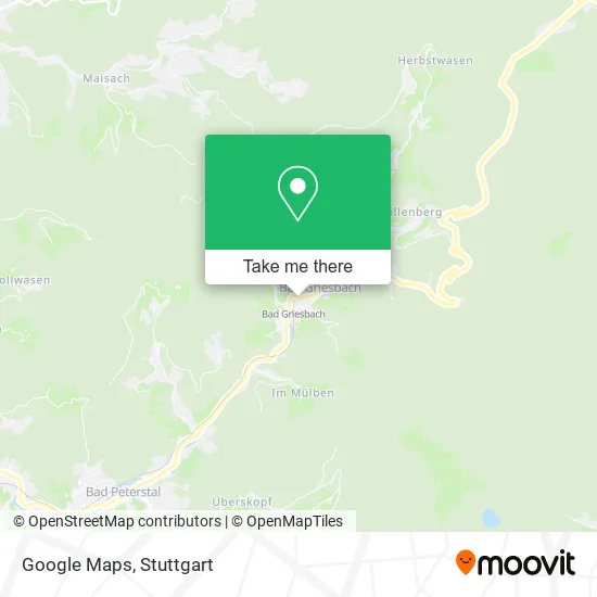
See Google Maps, Bad Peterstal-Griesbach, on the map
Public Transit to Google Maps in Bad Peterstal-Griesbach
Wondering how to get to Google Maps in Bad Peterstal-Griesbach? Moovit helps you find the best way to get to Google Maps with step-by-step directions from the nearest public transit station.
Moovit provides free maps and live directions to help you navigate through your city. View schedules, routes, timetables, and find out how long does it take to get to Google Maps in real time.
Looking for the nearest stop or station to Google Maps? Check out this list of stops closest to your destination: Bad Griesbach; Bad Griesbach Bahnhof.
Bus: 118, 7137, F 118, RS 2.Train: RS 2, RS2.
Want to see if there’s another route that gets you there at an earlier time? Moovit helps you find alternative routes or times. Get directions from and directions to Google Maps easily from the Moovit App or Website.
We make riding to Google Maps easy, which is why over 1.5 million users, including users in Bad Peterstal-Griesbach, trust Moovit as the best app for public transit. You don’t need to download an individual bus app or train app, Moovit is your all-in-one transit app that helps you find the best bus time or train time available.
For information on prices of bus and train, costs and ride fares to Google Maps, please check the Moovit app.
Use the app to navigate to popular places including to the airport, hospital, stadium, grocery store, mall, coffee shop, school, college, and university.
Google Maps Address: Am Ackerköpfle 1 Bad Griesbach, 77740 Bad Peterstal-Griesbach street in Bad Peterstal-Griesbach
- Kurparkhotel Faisst,
- Facebook Copyright,
- Faisst Grundst,
- Griesbacher Kurparkhotel,
- Faißt,
- Bahnhof Bad Griesbach(Schwarzwald),
- Nz Bad Mineralia,
- Brennerei-Museum,
- Kimmig Michael Fahrschule,
- Haus Lätsch,
- Haus Rundblick,
- Emil Braun,
- Tarifinformationen,
- Herbert Vogt,
- Musik- und Trachtenkapelle Bad Griesbach,
- Img,
- Aurelia Bestattungen,
- Bauhof,
- Saschweiler Laedle,
- Ruh
Places Near Google Maps (Bad Peterstal-Griesbach)
- Schleyerhalle, Bad Cannstatt,
- Wilhelma (U-Bahn Wilhelma), Bad Cannstatt,
- Marmorsaal Im Weissenburgpark, Stuttgart-Süd,
- SI-Centrum, Möhringen,
- Geilhaus Haus 33a, Reutlingen-Betzingen,
- Mercedes-Benz Museum (Mercedes Museum Stuttgart), Bad Cannstatt,
- Hanns-Martin-Schleyer-Halle, Bad Cannstatt,
- Hanns-Martin-Schleyer-Halle (Stuttgart Hans-Martin-Schleyerhalle), Bad Cannstatt,
- FlixBus Haltestelle, Stuttgart,
- Porsche-Arena, Bad Cannstatt,
- Waldfriedhof, Degerloch,
- Hauptbahnhof Stuttgart, Stuttgart-Mitte,
- Gasometer Pforzheim, Pforzheim,
- Pariser Platz Stuttgart, Stuttgart-Mitte,
- Gleis 101/102 (tief), Stuttgart-Mitte,
- Mercedes-Benz Museum, Bad Cannstatt,
- Im Wizemann (Halle), Bad Cannstatt,
- Mettingen Eros-Center Puff Laufhaus, Esslingen Am Neckar,
- Porsche Museum, Zuffenhausen,
- Klinikum Stuttgart - Katharinenhospital, Stuttgart-Mitte
How to get to popular places in Stuttgart with public transit
Get around Bad Peterstal-Griesbach by public transit!
Traveling around Bad Peterstal-Griesbach has never been so easy. See step by step directions as you travel to any attraction, street or major public transit station. View bus and train schedules, arrival times, service alerts and detailed routes on a map, so you know exactly how to get to anywhere in Bad Peterstal-Griesbach.
When traveling to any destination around Bad Peterstal-Griesbach use Moovit's Live Directions with Get Off Notifications to know exactly where and how far to walk, how long to wait for your line, and how many stops are left. Moovit will alert you when it's time to get off — no need to constantly re-check whether yours is the next stop.
Wondering how to use public transit in Bad Peterstal-Griesbach or how to pay for public transit in Bad Peterstal-Griesbach? Moovit public transit app can help you navigate your way with public transit easily, and at minimum cost. It includes public transit fees, ticket prices, and costs. Looking for a map of Bad Peterstal-Griesbach public transit lines? Moovit public transit app shows all public transit maps in Bad Peterstal-Griesbach with all Bus, Train, Subway, Light Rail, Ferry, S-Bahn and Funicular routes and stops on an interactive map.
Stuttgart has 7 transit type(s), including: Bus, Train, Subway, Light Rail, Ferry, S-Bahn and Funicular, operated by several transit agencies, including SSB - Stadtbahn, SSB, SSB - Seilbahn / Zacke, S-Bahn Stuttgart, Rhein-Neckar-Verkehr GmbH (rnv), Karlsruher Verkehrsverbund, DB AG, DB Regiobus BW, Arverio Baden-Württemberg GmbH, DB RegioNetz Verkehrs GmbH Westfrankenbahn, DB Regio AG Baden-Württemberg, Südwestdeutsche Verkehrs-AG, DB Regio AG Mitte Region Hessen, DB and Bodensee-Oberschwaben-Bahn