Directions to Graha Chandra Land Regency (Bangkalan) with public transportation
The following transit lines have routes that pass near Graha Chandra Land Regency
 Bus: K5.
How to get to Graha Chandra Land Regency by bus?
Click on the bus route to see step by step directions with maps, line arrival times and updated time schedules.
Bus stop near Graha Chandra Land Regency in Bangkalan
- M. Cholil, 4 min walk,VIEW
Bus lines to Graha Chandra Land Regency in Bangkalan
- K5, Terminal Purabaya,VIEW
What are the closest stations to Graha Chandra Land Regency?
The closest stations to Graha Chandra Land Regency are:
- M. Cholil is 251 meters away, 4 min walk.
Which bus line stops near Graha Chandra Land Regency?
K5 (Terminal Bangkalan)
What’s the nearest bus station to Graha Chandra Land Regency in Bangkalan?
The nearest bus station to Graha Chandra Land Regency in Bangkalan is M. Cholil. It’s a 4 min walk away.
What time is the first bus to Graha Chandra Land Regency in Bangkalan?
The K5 is the first bus that goes to Graha Chandra Land Regency in Bangkalan. It stops nearby at 5:11 AM.
What time is the last bus to Graha Chandra Land Regency in Bangkalan?
The K5 is the last bus that goes to Graha Chandra Land Regency in Bangkalan. It stops nearby at 8:04 PM.
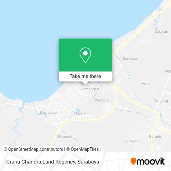
See Graha Chandra Land Regency, Bangkalan, on the map
Public Transit to Graha Chandra Land Regency in Bangkalan
Wondering how to get to Graha Chandra Land Regency in Bangkalan? Moovit helps you find the best way to get to Graha Chandra Land Regency with step-by-step directions from the nearest public transit station.
Moovit provides free maps and live directions to help you navigate through your city. View schedules, routes, timetables, and find out how long does it take to get to Graha Chandra Land Regency in real time.
Looking for the nearest stop or station to Graha Chandra Land Regency? Check out this list of stops closest to your destination: M. Cholil.
Bus: K5.
Want to see if there’s another route that gets you there at an earlier time? Moovit helps you find alternative routes or times. Get directions from and directions to Graha Chandra Land Regency easily from the Moovit App or Website.
We make riding to Graha Chandra Land Regency easy, which is why over 1.5 million users, including users in Bangkalan, trust Moovit as the best app for public transit. You don’t need to download an individual bus app or train app, Moovit is your all-in-one transit app that helps you find the best bus time or train time available.
For information on prices of bus, costs and ride fares to Graha Chandra Land Regency, please check the Moovit app.
Use the app to navigate to popular places including to the airport, hospital, stadium, grocery store, mall, coffee shop, school, college, and university.
Graha Chandra Land Regency Address: Jalan HOS Cokroaminoto Bangkalan 69115 street in Bangkalan
- Jamu Ramuan,
- Hutan Kota Bangkalan,
- Mertajasah,
- Scehona Holil,
- Irwan Yudhianto, Sh,
- Warung Andy,
- Puakesmas Pangeranan,
- Kpri Swa Sembada,
- Kios Ifka,
- Vanda Electric,
- Vanda Colection,
- Baroekah Store,
- Puskesmas Jaddih,
- Vera's Tailor,
- Yayasan Khasyari Umar Pastge,
- Kpri Bumi Permata Hati,
- Warpostel,
- New Elite,
- Madrasah Ibtidaiyah Swasta Raudlatul Ulum,
- Panorama Batik
Places Near Graha Chandra Land Regency (Bangkalan)
- Pelabuhan Tanjung Perak,
- Halte Bis Royal Plaza, Wonokromo,
- GBT (Gelora Bung Tomo) Surabaya, Benowo,
- Masjid Al-Akbar, Surabaya,
- Galaxy Mall Surabaya, Mulyorejo,
- BG Junction Mall, Bubutan,
- Stadion gelora bung tomo(surabaya,jawa timur), Surabaya,
- Pakuwon Mall, Lontar,
- UPN Veteran Jawa Timur, Gunung Anyar,
- Kantor Regional II BKN Surabaya, Sidoarjo,
- Taman Harmoni, Keputih,
- Graha Pena, Ketintang,
- Bg Junction, Bubutan,
- Universitas Negeri Surabaya (UNESA), Lidah Wetan,
- PTC, Surabaya,
- Kebun Binatang Surabaya, Darmo,
- Bis Damri P1 (Perak-Bungurasih PP), Krembangan Selatan,
- Grand City Mall, Surabaya, Gubeng,
- Pakuwon City Mall, Keputih,
- Smoking Room Terminal Domestik Juanda International Airport, Sidoarjo
How to get to popular places in Surabaya with public transit
Get around Bangkalan by public transit!
Traveling around Bangkalan has never been so easy. See step by step directions as you travel to any attraction, street or major public transit station. View bus and train schedules, arrival times, service alerts and detailed routes on a map, so you know exactly how to get to anywhere in Bangkalan.
When traveling to any destination around Bangkalan use Moovit's Live Directions with Get Off Notifications to know exactly where and how far to walk, how long to wait for your line, and how many stops are left. Moovit will alert you when it's time to get off — no need to constantly re-check whether yours is the next stop.
Wondering how to use public transit in Bangkalan or how to pay for public transit in Bangkalan? Moovit public transit app can help you navigate your way with public transit easily, and at minimum cost. It includes public transit fees, ticket prices, and costs. Looking for a map of Bangkalan public transit lines? Moovit public transit app shows all public transit maps in Bangkalan with all Bus and Train routes and stops on an interactive map.
Surabaya has 2 transit type(s), including: Bus and Train, operated by several transit agencies, including KAI Commuter, Angkutan Surabaya, Trans Semanggi Suroboyo, Suroboyo Bus, Feeder Wira Wiri Suroboyo, Trans Jatim and DAMRI