How to get to Graphi-Kris by bus?
Click on the bus route to see step by step directions with maps, line arrival times and updated time schedules.
How to get to Graphi-Kris by train?
Click on the train route to see step by step directions with maps, line arrival times and updated time schedules.
How to get to Graphi-Kris by metro?
Click on the metro route to see step by step directions with maps, line arrival times and updated time schedules.
Bus stops near Graphi-Kris in Neuville-En-Ferrain
Metro station near Graphi-Kris in Neuville-En-Ferrain
- Tourcoing Centre, 10 min walk,VIEW
Bus lines to Graphi-Kris in Neuville-En-Ferrain
What are the closest stations to Graphi-Kris?
The closest stations to Graphi-Kris are:
- Moulin is 35 meters away, 1 min walk.
- Tourcoing Centre is 712 meters away, 10 min walk.
- Parc De L'Yser is 735 meters away, 10 min walk.
- Eglise is 864 meters away, 12 min walk.
Which bus lines stop near Graphi-Kris?
These bus lines stop near Graphi-Kris: 82, L91.
Which train line stops near Graphi-Kris?
K80 (Courtrai)
Which metro line stops near Graphi-Kris?
M2 (Tourcoing C.H. Dron)
What’s the nearest metro station to Graphi-Kris in Neuville-En-Ferrain?
The nearest metro station to Graphi-Kris in Neuville-En-Ferrain is Tourcoing Centre. It’s a 10 min walk away.
What’s the nearest bus station to Graphi-Kris in Neuville-En-Ferrain?
The nearest bus station to Graphi-Kris in Neuville-En-Ferrain is Moulin. It’s a 1 min walk away.
What time is the first light rail to Graphi-Kris in Neuville-En-Ferrain?
The TRAM is the first light rail that goes to Graphi-Kris in Neuville-En-Ferrain. It stops nearby at 5:28 AM.
What time is the last light rail to Graphi-Kris in Neuville-En-Ferrain?
The TRAM is the last light rail that goes to Graphi-Kris in Neuville-En-Ferrain. It stops nearby at 1:05 AM.
What time is the first metro to Graphi-Kris in Neuville-En-Ferrain?
The M2 is the first metro that goes to Graphi-Kris in Neuville-En-Ferrain. It stops nearby at 5:03 AM.
What time is the last metro to Graphi-Kris in Neuville-En-Ferrain?
The M2 is the last metro that goes to Graphi-Kris in Neuville-En-Ferrain. It stops nearby at 1:01 AM.
What time is the first bus to Graphi-Kris in Neuville-En-Ferrain?
The 82 is the first bus that goes to Graphi-Kris in Neuville-En-Ferrain. It stops nearby at 6:44 AM.
What time is the last bus to Graphi-Kris in Neuville-En-Ferrain?
The 24R is the last bus that goes to Graphi-Kris in Neuville-En-Ferrain. It stops nearby at 12:38 AM.
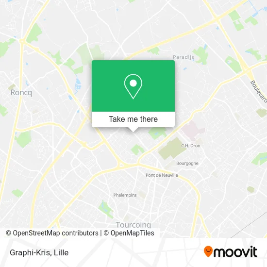
See Graphi-Kris, Neuville-En-Ferrain, on the map
Public Transit to Graphi-Kris in Neuville-En-Ferrain
Wondering how to get to Graphi-Kris in Neuville-En-Ferrain? Moovit helps you find the best way to get to Graphi-Kris with step-by-step directions from the nearest public transit station.
Moovit provides free maps and live directions to help you navigate through your city. View schedules, routes, timetables, and find out how long does it take to get to Graphi-Kris in real time.
Looking for the nearest stop or station to Graphi-Kris? Check out this list of stops closest to your destination: Moulin; Tourcoing Centre; Parc De L'Yser; Eglise.
Bus: 82, L91, 82R, Z1, 24R.Train: K80.Metro: M2, TRAM.
Want to see if there’s another route that gets you there at an earlier time? Moovit helps you find alternative routes or times. Get directions from and directions to Graphi-Kris easily from the Moovit App or Website.
We make riding to Graphi-Kris easy, which is why over 1.5 million users, including users in Neuville-En-Ferrain, trust Moovit as the best app for public transit. You don’t need to download an individual bus app or train app, Moovit is your all-in-one transit app that helps you find the best bus time or train time available.
For information on prices of bus, metro, light rail and train, costs and ride fares to Graphi-Kris, please check the Moovit app.
Use the app to navigate to popular places including to the airport, hospital, stadium, grocery store, mall, coffee shop, school, college, and university.
Graphi-Kris Address: 194 Rue de Tourcoing 59960 Neuville-en-Ferrain street in Neuville-En-Ferrain
- Au Ninas Café,
- Naturopathe,
- Ouazana Henri,
- Aappap,
- Rue du Moulin 38,
- Laboratoires des Produits Hyodall,
- Restaurant Ici,
- Feys Georges,
- Massage Bien E,
- Luxuryautoclea,
- Biehler,
- Rue des 5 Voies,
- Vdc Chauffage,
- La Croustillante,
- Les Papillons Blancs,
- Air Pro Energies,
- Acuitis,
- Osoins Precieu,
- Rue du Christ 107,
- Stade Charles Van De Veegaete
Places Near Graphi-Kris (Neuville-En-Ferrain)
- Zoo De Lille, Lille,
- Auchan Englos, Englos,
- Clinique du Bois, Lille,
- Consulat General D'Algerie, Lille,
- Université Catholique, Lille,
- Saint-André-Lez-Lille, Saint-André-Lez-Lille,
- Champ De Mars, Lille,
- Théâtre Sébastopol, Lille,
- Euratechnologies, Lille,
- Ikea, Lille,
- Hôpital Salengro, Lille,
- Marché De Wazemmes, Lille,
- Hôpital Saint-Vincent De Paul, Lille,
- Centre Commercial V2, Villeneuve-D'Ascq,
- L'Usine, Roubaix,
- Ffffff, Lezennes,
- Zénith Arena, Lille,
- Rue de la Porte d'Ypres 1, Lille,
- Kinepolis Lomme, Lille,
- Hôpital Claude Huriez, Lille
How to get to popular places in Lille with public transit
Get around Neuville-En-Ferrain by public transit!
Traveling around Neuville-En-Ferrain has never been so easy. See step by step directions as you travel to any attraction, street or major public transit station. View bus and train schedules, arrival times, service alerts and detailed routes on a map, so you know exactly how to get to anywhere in Neuville-En-Ferrain.
When traveling to any destination around Neuville-En-Ferrain use Moovit's Live Directions with Get Off Notifications to know exactly where and how far to walk, how long to wait for your line, and how many stops are left. Moovit will alert you when it's time to get off — no need to constantly re-check whether yours is the next stop.
Wondering how to use public transit in Neuville-En-Ferrain or how to pay for public transit in Neuville-En-Ferrain? Moovit public transit app can help you navigate your way with public transit easily, and at minimum cost. It includes public transit fees, ticket prices, and costs. Looking for a map of Neuville-En-Ferrain public transit lines? Moovit public transit app shows all public transit maps in Neuville-En-Ferrain with all Bus, Train, Metro and Light Rail routes and stops on an interactive map.
Lille has 4 transit type(s), including: Bus, Train, Metro and Light Rail, operated by several transit agencies, including TRANSPOLE and SNCF VOYAGEURS