How to get to Green Machine by bus?
Click on the bus route to see step by step directions with maps, line arrival times and updated time schedules.
From Northside Station, Miami
48 minFrom Satan's Church Of The Believer, Miami Beach
66 minFrom Biltmore Hotel Miami Coral Gables, Miami
92 minFrom N Le Jeune Rd / SW 42nd Ave, Miami
53 minFrom SW 8th St / SW 62nd Ave, Miami
77 minFrom NW 95th St / NW 17th Ave, Miami
45 minFrom St Patrick Catholic Church Miami Beach, Miami Beach
34 minFrom Blue Lagoon, Miami
68 minFrom Waterside Hotel and Suites Miami Beach, Miami Beach
64 minFrom Red Coach, Miami
56 min
How to get to Green Machine by train?
Click on the train route to see step by step directions with maps, line arrival times and updated time schedules.
Bus stops near Green Machine in Miami
Light Rail stations near Green Machine in Miami
- School Board, 16 min walk,VIEW
Train station near Green Machine in Miami
- Allapattah Station, 21 min walk,VIEW
Bus lines to Green Machine in Miami
What are the closest stations to Green Machine?
The closest stations to Green Machine are:
- Nw 7 Av & Nw 29 St is 478 yards away, 6 min walk.
- Nw 2 Av & Nw 27 St is 704 yards away, 9 min walk.
- Nw 2 Av @ Nw 25 St is 811 yards away, 10 min walk.
- School Board is 1278 yards away, 16 min walk.
- Allapattah Station is 1722 yards away, 21 min walk.
Which bus lines stop near Green Machine?
These bus lines stop near Green Machine: 2, 32, 36, 77.
Which train lines stop near Green Machine?
These train lines stop near Green Machine: GREEN, ORANGE.
What’s the nearest light rail station to Green Machine in Miami?
The nearest light rail station to Green Machine in Miami is School Board. It’s a 16 min walk away.
What’s the nearest train station to Green Machine in Miami?
The nearest train station to Green Machine in Miami is Allapattah Station. It’s a 21 min walk away.
What’s the nearest bus station to Green Machine in Miami?
The nearest bus station to Green Machine in Miami is Nw 7 Av & Nw 29 St. It’s a 6 min walk away.
What time is the first light rail to Green Machine in Miami?
The MMO is the first light rail that goes to Green Machine in Miami. It stops nearby at 5:32 AM.
What time is the last light rail to Green Machine in Miami?
The MMO is the last light rail that goes to Green Machine in Miami. It stops nearby at 10:10 PM.
What time is the first train to Green Machine in Miami?
The ORANGE is the first train that goes to Green Machine in Miami. It stops nearby at 5:10 AM.
What time is the last train to Green Machine in Miami?
The GREEN is the last train that goes to Green Machine in Miami. It stops nearby at 12:34 AM.
What time is the first bus to Green Machine in Miami?
The 77 is the first bus that goes to Green Machine in Miami. It stops nearby at 3:11 AM.
What time is the last bus to Green Machine in Miami?
The 77 is the last bus that goes to Green Machine in Miami. It stops nearby at 3:42 AM.
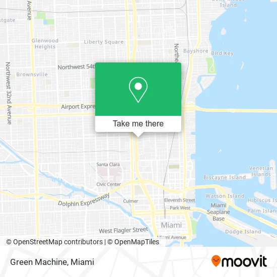
See Green Machine, Miami, on the map
Public Transit to Green Machine in Miami
Wondering how to get to Green Machine in Miami? Moovit helps you find the best way to get to Green Machine with step-by-step directions from the nearest public transit station.
Moovit provides free maps and live directions to help you navigate through your city. View schedules, routes, timetables, and find out how long does it take to get to Green Machine in real time.
Looking for the nearest stop or station to Green Machine? Check out this list of stops closest to your destination: Nw 7 Av & Nw 29 St; Nw 2 Av & Nw 27 St; Nw 2 Av @ Nw 25 St; School Board; Allapattah Station.
Bus: 2, 32, 36, 77, MIAWYNW.Train: GREEN, ORANGE.
Want to see if there’s another route that gets you there at an earlier time? Moovit helps you find alternative routes or times. Get directions from and directions to Green Machine easily from the Moovit App or Website.
We make riding to Green Machine easy, which is why over 1.5 million users, including users in Miami, trust Moovit as the best app for public transit. You don’t need to download an individual bus app or train app, Moovit is your all-in-one transit app that helps you find the best bus time or train time available.
For information on prices of bus, train and light rail, costs and ride fares to Green Machine, please check the Moovit app.
Use the app to navigate to popular places including to the airport, hospital, stadium, grocery store, mall, coffee shop, school, college, and university.
Green Machine Address: 591 NW 27th St Miami, FL 33127 street in Miami
- Gopuff Liquors,
- Emergency Locksmith In Miami-Dade,
- Twelve Baskets,
- Ralph Pucci International,
- Kobi Karp,
- Kinema Fitness - 545 W,
- Gensler,
- Price Water House Coopers-PWC,
- 545 Wyn,
- VXN Workout,
- Laura Leon,
- Celia's,
- Brainstation,
- Beatnix,
- Mainsail Aventura Equity,
- Deb Temco Casting,
- Motohub Miami,
- Vanity Projects,
- Kye's Jewelry,
- Art Slaps
Places Near Green Machine (Miami)
- Keiser University Flagship Campus, West Palm Beach,
- Bayside Marketplace, Miami,
- Miami-Dade County Courthouse, Miami,
- Miami VA Hospital, Miami,
- Wynwood, Miami,
- Sawgrass Mall, Miami,
- Aventura Mall, Miami,
- Zoo Miami, Miami,
- Hard Rock Stadium, Miami Gardens,
- Port of Miami Cruise Terminal, Miami,
- Marlins Park, Miami,
- Miami Freedom Park, Miami,
- Richard E. Gerstein Justice Building, Miami,
- Sawgrass mall ( FL ), Miami Beach,
- Dolphin Mall, Miami,
- Miami Design District, Miami,
- Little Havana, Miami,
- Brickell City Centre, Miami,
- Dolphin Mall Bus, Miami,
- Aventura Mall, Miami Beach
How to get to popular places in Miami with public transit
Get around Miami by public transit!
Traveling around Miami has never been so easy. See step by step directions as you travel to any attraction, street or major public transit station. View bus and train schedules, arrival times, service alerts and detailed routes on a map, so you know exactly how to get to anywhere in Miami.
When traveling to any destination around Miami use Moovit's Live Directions with Get Off Notifications to know exactly where and how far to walk, how long to wait for your line, and how many stops are left. Moovit will alert you when it's time to get off — no need to constantly re-check whether yours is the next stop.
Wondering how to use public transit in Miami or how to pay for public transit in Miami? Moovit public transit app can help you navigate your way with public transit easily, and at minimum cost. It includes public transit fees, ticket prices, and costs. Looking for a map of Miami public transit lines? Moovit public transit app shows all public transit maps in Miami with all Bus, Train, Light Rail and Ferry routes and stops on an interactive map.
Miami has 4 transit type(s), including: Bus, Train, Light Rail and Ferry, operated by several transit agencies, including Broward County Transit, Miami-Dade Transit, Metrorail, Palm Tran, Tri-Rail, Brightline, MARTY, City of Homestead Trolley, Key West Transit, Treasure Coast Connector, GoLine IRT, Amtrak, Greyhound-us, FlixBus-us and Aventura Express Shuttle Bus