How to get to Grit Coffee by bus?
Click on the bus route to see step by step directions with maps, line arrival times and updated time schedules.
From Lorton, VA, Fairfax County
262 minFrom Rose Gaming Resort, Prince William County
278 minFrom Busch Gardens Williamsburg (Employee Parking Lot), James City County
194 minFrom Potomac Mills Mall, Prince William County
253 minFrom Lorton, VA - Amtrak Auto Train Station (LOR), Fairfax County
268 minFrom UVA Hospital Medical Center, Charlottesville
342 minFrom Woodbridge, VA, Prince William County
184 minFrom Amazon Fulfillment Center-Ric3, Richmond
111 min
Bus stops near Grit Coffee in Richmond
Bus lines to Grit Coffee in Richmond
What are the closest stations to Grit Coffee?
The closest stations to Grit Coffee are:
- Grove + Libbie is 243 yards away, 4 min walk.
- Patterson + Granite is 673 yards away, 8 min walk.
Which bus lines stop near Grit Coffee?
These bus lines stop near Grit Coffee: 18, 76, 77, BRT.
What’s the nearest bus station to Grit Coffee in Richmond?
The nearest bus station to Grit Coffee in Richmond is Grove + Libbie. It’s a 4 min walk away.
What time is the first bus to Grit Coffee in Richmond?
The 76 is the first bus that goes to Grit Coffee in Richmond. It stops nearby at 5:34 AM.
What time is the last bus to Grit Coffee in Richmond?
The 79 is the last bus that goes to Grit Coffee in Richmond. It stops nearby at 7:14 PM.
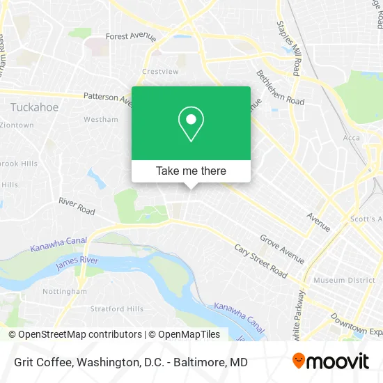
See Grit Coffee, Richmond, on the map
Public Transit to Grit Coffee in Richmond
Wondering how to get to Grit Coffee in Richmond? Moovit helps you find the best way to get to Grit Coffee with step-by-step directions from the nearest public transit station.
Moovit provides free maps and live directions to help you navigate through your city. View schedules, routes, timetables, and find out how long does it take to get to Grit Coffee in real time.
Looking for the nearest stop or station to Grit Coffee? Check out this list of stops closest to your destination: Grove + Libbie; Patterson + Granite.
Bus: 18, 76, 77, BRT, 79.
Want to see if there’s another route that gets you there at an earlier time? Moovit helps you find alternative routes or times. Get directions from and directions to Grit Coffee easily from the Moovit App or Website.
We make riding to Grit Coffee easy, which is why over 1.5 million users, including users in Richmond, trust Moovit as the best app for public transit. You don’t need to download an individual bus app or train app, Moovit is your all-in-one transit app that helps you find the best bus time or train time available.
For information on prices of bus and train, costs and ride fares to Grit Coffee, please check the Moovit app.
Use the app to navigate to popular places including to the airport, hospital, stadium, grocery store, mall, coffee shop, school, college, and university.
Grit Coffee Address: 409 Libbie Ave Richmond, VA 23226 street in Richmond
- sweetFrog Premium Frozen Yogurt,
- Sweet Frog Libbie,
- Cold Stone Creamery,
- Roofers in Richmond,
- J.McLaughlin,
- Thistles,
- Academic Advisors,
- Select Properties of Virginia,
- Art Hanging & Design,
- Martin Handyman,
- Sridhar Yaratha, MD,
- Fence Company Rva,
- Mrgoody Utilities,
- Gripp Cleaning Services,
- Joanna Harris,
- Rva Baby,
- Delgado Masonry,
- Angel Handy,
- Timberlake Contracting,
- Sophie's Dog Walking & Pet Sitting
Places Near Grit Coffee (Richmond)
- Washington National Cathedral, Washington,
- Georgetown, Washington,
- The Anthem, Washington,
- Washington DC VA Medical Center, Washington,
- PG Mall, Prince George's County,
- Amazon Hq2, Arlington County,
- Capital One Arena, Washington,
- Sibley Memorial Hospital, Washington,
- M&T Bank Stadium, Baltimore,
- Marriott Marquis Washington, DC, Washington,
- Basilica of the National Shrine, Washington,
- National Zoo, Washington,
- Rock Creek Tennis Center, Washington,
- National Theatre, Washington,
- National Museum of African American History and Culture, Washington,
- Camden Yards, Baltimore,
- Pennsylvania Ave NW (3rd st and pennsylvania), Washington,
- Westfield Montgomery Mall, Montgomery County,
- Warner Theatre, Washington,
- Museum Of The Bible, Washington
How to get to popular places in Washington, D.C. - Baltimore, MD with public transit
Get around Richmond by public transit!
Traveling around Richmond has never been so easy. See step by step directions as you travel to any attraction, street or major public transit station. View bus and train schedules, arrival times, service alerts and detailed routes on a map, so you know exactly how to get to anywhere in Richmond.
When traveling to any destination around Richmond use Moovit's Live Directions with Get Off Notifications to know exactly where and how far to walk, how long to wait for your line, and how many stops are left. Moovit will alert you when it's time to get off — no need to constantly re-check whether yours is the next stop.
Wondering how to use public transit in Richmond or how to pay for public transit in Richmond? Moovit public transit app can help you navigate your way with public transit easily, and at minimum cost. It includes public transit fees, ticket prices, and costs. Looking for a map of Richmond public transit lines? Moovit public transit app shows all public transit maps in Richmond with all Bus, Train, Metro, Light Rail and Ferry routes and stops on an interactive map.
Washington, D.C. - Baltimore, MD has 5 transit type(s), including: Bus, Train, Metro, Light Rail and Ferry, operated by several transit agencies, including WMATA, Montgomery County Ride On, Fairfax Connector, TheBus, PRTC, DASH - Alexandria, Arlington Transit (ART), RTA of Central Maryland, MDOT MTA, MDOT MTA Light RailLink, MDOT MTA Commuter Bus, MDOT MTA Local Bus, FXBGO!, Virginia Railway Express (VRE) and MARC