Directions to Ground Control Hunt Valley (Baltimore County) with public transportation
The following transit lines have routes that pass near Ground Control Hunt Valley
 Bus: 93.
- Light Rail: LIGHT RAILLINK.
How to get to Ground Control Hunt Valley by bus?
Click on the bus route to see step by step directions with maps, line arrival times and updated time schedules.
From Light Rail-Timonium Fairgrounds, Baltimore County
81 minFrom I-695 @ Exit 26 (York Rd/MD 45), Baltimore County
95 minFrom I-695 Exit 29 (Loch Raven Blvd (MD 542)/Cromwell Bridge Rd), Baltimore County
129 minFrom Towson, MD, Baltimore County
95 minFrom I-83 Exit 16 (Timonium Road), Baltimore County
90 minFrom Towson Town Center, Baltimore County
98 minFrom I-695 @ Exit 27 (Dulaney Valley Road/MD 146), Baltimore County
105 minFrom Sinai Hospital, Baltimore
147 min
Light Rail stations near Ground Control Hunt Valley in Baltimore County
- Hunt Valley, 44 min walk,VIEW
What are the closest stations to Ground Control Hunt Valley?
The closest stations to Ground Control Hunt Valley are:
- Hunt Valley is 3769 yards away, 44 min walk.
Which bus line stops near Ground Control Hunt Valley?
93 (Hunt Valley)
Which light rail line stops near Ground Control Hunt Valley?
LIGHT RAILLINK (Northbound)
What time is the first light rail to Ground Control Hunt Valley in Baltimore County?
The LIGHT RAILLINK is the first light rail that goes to Ground Control Hunt Valley in Baltimore County. It stops nearby at 4:34 AM.
What time is the last light rail to Ground Control Hunt Valley in Baltimore County?
The LIGHT RAILLINK is the last light rail that goes to Ground Control Hunt Valley in Baltimore County. It stops nearby at 12:50 AM.
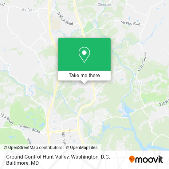
See Ground Control Hunt Valley, Baltimore County, on the map
Public Transit to Ground Control Hunt Valley in Baltimore County
Wondering how to get to Ground Control Hunt Valley in Baltimore County? Moovit helps you find the best way to get to Ground Control Hunt Valley with step-by-step directions from the nearest public transit station.
Moovit provides free maps and live directions to help you navigate through your city. View schedules, routes, timetables, and find out how long does it take to get to Ground Control Hunt Valley in real time.
Looking for the nearest stop or station to Ground Control Hunt Valley? Check out this list of stops closest to your destination: Hunt Valley.
Bus: 93.Light Rail: LIGHT RAILLINK.
Want to see if there’s another route that gets you there at an earlier time? Moovit helps you find alternative routes or times. Get directions from and directions to Ground Control Hunt Valley easily from the Moovit App or Website.
We make riding to Ground Control Hunt Valley easy, which is why over 1.5 million users, including users in Baltimore County, trust Moovit as the best app for public transit. You don’t need to download an individual bus app or train app, Moovit is your all-in-one transit app that helps you find the best bus time or train time available.
For information on prices of bus and light rail, costs and ride fares to Ground Control Hunt Valley, please check the Moovit app.
Use the app to navigate to popular places including to the airport, hospital, stadium, grocery store, mall, coffee shop, school, college, and university.
Ground Control Hunt Valley Address: 47 Loveton Cir street in Baltimore County
- PHH,
- Sparks,
- George Lopez Tacos,
- Warped Sportz,
- The North Face,
- ABC Phones,
- Regal Hunt Valley Stadium 12,
- 0575 Orangetheory HNTV,
- Plow and Hearth,
- Boys and Girls Club,
- Deb Shop,
- J.Crew Factory,
- Brightview Senior Living Hunt Valley,
- Deka Lash,
- Hunt Valley Town Center,
- Amazon Locker-Ily,
- Izakaya68,
- Bassett Home Furnishings,
- Burlington (Burlington Coat Factory),
- Eileen Fisher Company Store
Places Near Ground Control Hunt Valley (Baltimore County)
- Pennsylvania Ave NW (3rd st and pennsylvania), Washington,
- Basilica of the National Shrine, Washington,
- M&T Bank Stadium, Baltimore,
- Marriott Marquis Washington, DC, Washington,
- Camden Yards, Baltimore,
- Rock Creek Tennis Center, Washington,
- The Anthem, Washington,
- National Theatre, Washington,
- National Zoo, Washington,
- Capital One Arena, Washington,
- Warner Theatre, Washington,
- Museum Of The Bible, Washington,
- PG Mall, Prince George's County,
- Washington DC VA Medical Center, Washington,
- Sibley Memorial Hospital, Washington,
- Georgetown, Washington,
- Washington National Cathedral, Washington,
- Amazon Hq2, Arlington County,
- Westfield Montgomery Mall, Montgomery County,
- National Museum of African American History and Culture, Washington
How to get to popular places in Washington, D.C. - Baltimore, MD with public transit
Get around Baltimore County by public transit!
Traveling around Baltimore County has never been so easy. See step by step directions as you travel to any attraction, street or major public transit station. View bus and train schedules, arrival times, service alerts and detailed routes on a map, so you know exactly how to get to anywhere in Baltimore County.
When traveling to any destination around Baltimore County use Moovit's Live Directions with Get Off Notifications to know exactly where and how far to walk, how long to wait for your line, and how many stops are left. Moovit will alert you when it's time to get off — no need to constantly re-check whether yours is the next stop.
Wondering how to use public transit in Baltimore County or how to pay for public transit in Baltimore County? Moovit public transit app can help you navigate your way with public transit easily, and at minimum cost. It includes public transit fees, ticket prices, and costs. Looking for a map of Baltimore County public transit lines? Moovit public transit app shows all public transit maps in Baltimore County with all Bus, Train, Metro, Light Rail and Ferry routes and stops on an interactive map.
Washington, D.C. - Baltimore, MD has 5 transit type(s), including: Bus, Train, Metro, Light Rail and Ferry, operated by several transit agencies, including WMATA, Montgomery County Ride On, Fairfax Connector, TheBus, PRTC, DASH - Alexandria, Arlington Transit (ART), RTA of Central Maryland, MDOT MTA, MDOT MTA Light RailLink, MDOT MTA Commuter Bus, MDOT MTA Local Bus, FXBGO!, Virginia Railway Express (VRE) and MARC