How to get to Guardium Security Services by bus?
Click on the bus route to see step by step directions with maps, line arrival times and updated time schedules.
From CCIS 1-430, Edmonton
60 minFrom Chi Energy Therapeutic Body & Foot Massage, Edmonton
62 minFrom Krista Lindstrom, Edmonton
68 minFrom Metro Mortgage Group - Nelson Sousa, Edmonton
68 minFrom Hartford County Townhomes, Edmonton
66 minFrom Sir Frederick W. Haultain Building, Edmonton
59 minFrom William Lutsky Family YMCA, Edmonton
36 minFrom Hope Mission, Edmonton
45 minFrom Citizen on Jasper, Edmonton
55 minFrom Edmonton EXPO Centre, Edmonton
29 min
Bus stops near Guardium Security Services in Edmonton
Light Rail stations near Guardium Security Services in Edmonton
- Millbourne/Woodvale Stop, 24 min walk,VIEW
Bus lines to Guardium Security Services in Edmonton
What are the closest stations to Guardium Security Services?
The closest stations to Guardium Security Services are:
- 48 Street & Roper Road is 35 meters away, 1 min walk.
- 50 Street & Roper Road is 147 meters away, 3 min walk.
- Millbourne/Woodvale Stop is 1844 meters away, 24 min walk.
Which bus lines stop near Guardium Security Services?
These bus lines stop near Guardium Security Services: 053, 506.
What’s the nearest light rail station to Guardium Security Services in Edmonton?
The nearest light rail station to Guardium Security Services in Edmonton is Millbourne/Woodvale Stop. It’s a 24 min walk away.
What’s the nearest bus station to Guardium Security Services in Edmonton?
The nearest bus station to Guardium Security Services in Edmonton is 48 Street & Roper Road. It’s a 1 min walk away.
What time is the first light rail to Guardium Security Services in Edmonton?
The VALLEY is the first light rail that goes to Guardium Security Services in Edmonton. It stops nearby at 5:12 AM.
What time is the last light rail to Guardium Security Services in Edmonton?
The VALLEY is the last light rail that goes to Guardium Security Services in Edmonton. It stops nearby at 1:00 AM.
What time is the first bus to Guardium Security Services in Edmonton?
The 506 is the first bus that goes to Guardium Security Services in Edmonton. It stops nearby at 5:57 AM.
What time is the last bus to Guardium Security Services in Edmonton?
The 506 is the last bus that goes to Guardium Security Services in Edmonton. It stops nearby at 11:43 PM.
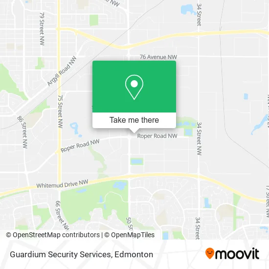
See Guardium Security Services, Edmonton, on the map
Public Transit to Guardium Security Services in Edmonton
Wondering how to get to Guardium Security Services in Edmonton? Moovit helps you find the best way to get to Guardium Security Services with step-by-step directions from the nearest public transit station.
Moovit provides free maps and live directions to help you navigate through your city. View schedules, routes, timetables, and find out how long does it take to get to Guardium Security Services in real time.
Looking for the nearest stop or station to Guardium Security Services? Check out this list of stops closest to your destination: 48 Street & Roper Road; 50 Street & Roper Road; Millbourne/Woodvale Stop.
Bus: 053, 506, 505, 631.
Want to see if there’s another route that gets you there at an earlier time? Moovit helps you find alternative routes or times. Get directions from and directions to Guardium Security Services easily from the Moovit App or Website.
We make riding to Guardium Security Services easy, which is why over 1.5 million users, including users in Edmonton, trust Moovit as the best app for public transit. You don’t need to download an individual bus app or train app, Moovit is your all-in-one transit app that helps you find the best bus time or train time available.
For information on prices of bus and light rail, costs and ride fares to Guardium Security Services, please check the Moovit app.
Use the app to navigate to popular places including to the airport, hospital, stadium, grocery store, mall, coffee shop, school, college, and university.
Guardium Security Services Address: 4918 Roper Rd NW Edmonton, AB T6B 3T7 street in Edmonton
- Alberta Gujarati Association,
- Shanti Niketan Society for Semi Retired and Seniors,
- YEG Courier,
- Omnus Investments LTD,
- Active Homes,
- Finders Keepers,
- Paburrito,
- RBC Royal Bank,
- PETRO-CANADA,
- Bart's Taping Tools Inc.,
- Ceiling Store,
- Aluma Systems Inc,
- Edmonton Fire Station #9 (Roper),
- Cityview Business Park,
- FedEx,
- Amazon Locker-Fortaleza,
- BMO Bank of Montreal,
- launchpad,
- Stihl,
- Signflo
Places Near Guardium Security Services (Edmonton)
- West Edmonton Mall, Edmonton,
- Cross Cancer Institute, Edmonton,
- Northgate Centre, Edmonton,
- Borden Park, Edmonton,
- MacEwan University, Edmonton,
- Edmonton Commonwealth Stadium, Edmonton,
- Fort Edmonton Park, Edmonton,
- Kingsway Mall, Edmonton,
- Royal Alexandra Hospital, Edmonton,
- University of Alberta, Edmonton,
- Canada Place Service Canada Centre, Edmonton,
- Rogers Place, Edmonton,
- Edmonton EXPO Centre, Edmonton,
- Grey Nuns Community Hospital, Edmonton,
- Edmonton Valley Zoo, Edmonton,
- Alberta Legislature Building, Edmonton,
- Londonderry Mall, Edmonton,
- Kaye Edmonton Clinic, Edmonton,
- Whyte Avenue, Edmonton,
- Edmonton VIA Rail Station, Edmonton
How to get to popular places in Edmonton with public transit
Get around Edmonton by public transit!
Traveling around Edmonton has never been so easy. See step by step directions as you travel to any attraction, street or major public transit station. View bus and train schedules, arrival times, service alerts and detailed routes on a map, so you know exactly how to get to anywhere in Edmonton.
When traveling to any destination around Edmonton use Moovit's Live Directions with Get Off Notifications to know exactly where and how far to walk, how long to wait for your line, and how many stops are left. Moovit will alert you when it's time to get off — no need to constantly re-check whether yours is the next stop.
Wondering how to use public transit in Edmonton or how to pay for public transit in Edmonton? Moovit public transit app can help you navigate your way with public transit easily, and at minimum cost. It includes public transit fees, ticket prices, and costs. Looking for a map of Edmonton public transit lines? Moovit public transit app shows all public transit maps in Edmonton with all Bus and Light Rail routes and stops on an interactive map.
Edmonton has 2 transit type(s), including: Bus and Light Rail, operated by several transit agencies, including ETS LRT, ETS, Strathcona County Transit, St. Albert Transit, Spruce Grove Transit, Fort Saskatchewan Transit, Beaumont Transit and Leduc Transit