Guidiccioni/Ruino stop - Monday schedule
| Line | Direction | Time |
|---|---|---|
| 983 | Cornelia (MA) | 5:34 AM |
| 983 | Cornelia (MA) | 6:01 AM |
| 983 | Cornelia (MA) | 6:44 AM |
| 983 | Cornelia (MA) | 7:12 AM |
| 983 | Cornelia (MA) | 7:47 AM |
| 983 | Cornelia (MA) | 8:15 AM |
| 983 | Cornelia (MA) | 8:43 AM |
| 983 | Cornelia (MA) | 9:00 AM |
| 983 | Cornelia (MA) | 9:24 AM |
| 983 | Cornelia (MA) | 9:46 AM |
| 983 | Cornelia (MA) | 10:10 AM |
| 983 | Cornelia (MA) | 10:30 AM |
| 983 | Cornelia (MA) | 10:50 AM |
| 983 | Cornelia (MA) | 11:11 AM |
| 983 | Cornelia (MA) | 11:31 AM |
| 983 | Cornelia (MA) | 11:51 AM |
| 983 | Cornelia (MA) | 12:11 PM |
| 983 | Cornelia (MA) | 12:32 PM |
| 983 | Cornelia (MA) | 12:52 PM |
| 983 | Cornelia (MA) | 1:12 PM |
| 983 | Cornelia (MA) | 1:32 PM |
| 983 | Cornelia (MA) | 1:53 PM |
| 983 | Cornelia (MA) | 2:13 PM |
| 983 | Cornelia (MA) | 2:33 PM |
| 983 | Cornelia (MA) | 2:54 PM |
Directions to Guidiccioni/Ruino stop (Roma) with public transit
The following transit lines have routes that pass near Guidiccioni/Ruino
 Bus: 980, 981, 983, 985.
- Metro: A.
How to get to Guidiccioni/Ruino stop by bus?
Click on the bus route to see step by step directions with maps, line arrival times and updated time schedules.
How to get to Guidiccioni/Ruino stop by metro?
Click on the metro route to see step by step directions with maps, line arrival times and updated time schedules.
Bus stops near Guidiccioni/Ruino stop in Roma
- Bondi/Pane, 6 min walk,
- Cornelia/Sister M. Agostina, 6 min walk,
- Tornabuoni/Ruino, 21 min walk,
Metro stations near Guidiccioni/Ruino station in Roma
- Cornelia, 24 min walk,
Bus lines to Guidiccioni/Ruino stop in Roma
- 980, San Filippo Neri Hospital,
- 981, Cornelia (MA),
- 985, Aurelia Station,
- 983, Cornelia (MA),
What are the closest stations to Guidiccioni/Ruino?
The closest stations to Guidiccioni/Ruino are:
- Bondi/Pane stop is 422 meters away, 6 min walk.
- Cornelia/Sister M. Agostina stop is 446 meters away, 6 min walk.
- Tornabuoni/Ruino stop is 1626 meters away, 21 min walk.
- Cornelia station is 1879 meters away, 24 min walk.
Which bus lines stop near Guidiccioni/Ruino?
These bus lines stop near Guidiccioni/Ruino: 980, 981, 983, 985.
Which metro line stops near Guidiccioni/Ruino?
A (Battistini)
What’s the nearest metro station to Guidiccioni/Ruino in Roma?
The nearest metro station to Guidiccioni/Ruino in Roma is Cornelia. It’s a 24 min walk away.
What’s the nearest bus station to Guidiccioni/Ruino in Roma?
The nearest bus stations to Guidiccioni/Ruino in Roma are Bondi/Pane and Cornelia/Sister M. Agostina. The closest one is a 6 min walk away.
What time is the first metro to Guidiccioni/Ruino in Roma?
The A is the first metro that goes to Guidiccioni/Ruino in Roma. It stops nearby at 5:30 AM.
What time is the last metro to Guidiccioni/Ruino in Roma?
The A is the last metro that goes to Guidiccioni/Ruino in Roma. It stops nearby at 12:11 AM.
What time is the first bus to Guidiccioni/Ruino in Roma?
The 985 is the first bus that goes to Guidiccioni/Ruino in Roma. It stops nearby at 4:43 AM.
What time is the last bus to Guidiccioni/Ruino in Roma?
The 980 is the last bus that goes to Guidiccioni/Ruino in Roma. It stops nearby at 2:26 AM.
Guidiccioni/Ruino station
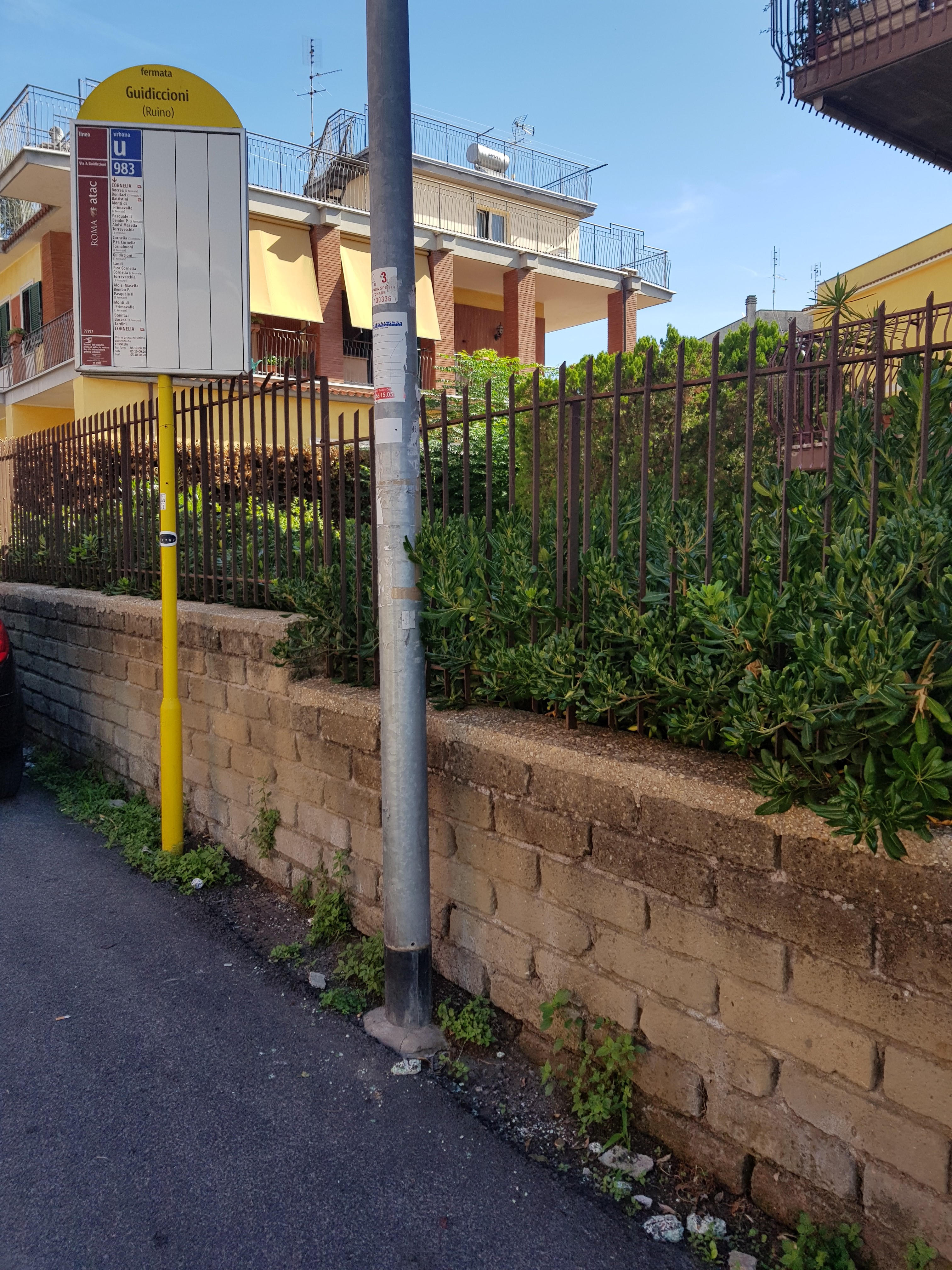 Taken by Anonymous
See Guidiccioni/Ruino stop, Roma, on the map
Public transit to Guidiccioni/Ruino stop (ID: 77797) in Roma
Looking for directions to Guidiccioni/Ruino in Roma, Italy?
Download the Moovit App to find the current schedule and step-by-step directions for Bus or Metro routes that pass through Guidiccioni/Ruino.
Looking for the nearest stops closest to Guidiccioni/Ruino ? Check out this list of closest stops to your destination: Bondi/Pane; Cornelia/Sister M. Agostina; Tornabuoni/Ruino; Cornelia.
Bus: 980, 981, 983, 985.Metro: A.
We make riding on public transit to Guidiccioni/Ruino easy, which is why over 1.7 billion users, including users in Roma trust Moovit as the best app for public transit.
Use the app to navigate to popular places including to the airport, hospital, stadium, grocery store, mall, coffee shop, school, college, and university.
Guidiccioni/Ruino stop’s code is 77797
The first line to this stop is 983, at 5:34 AM, and the last line is 983 at 12:41 AM.
Via Giovanni Battista Ruino, Roma, Italy
This stop serves ATAC’s lines
- Bondi/Pane,
- Cornelia/Sister M. Agostina,
- Tornabuoni/Ruino
Bus stops near Guidiccioni/Ruino stop
- Cornelia
Metro station near Guidiccioni/Ruino station
- Giolitti,
- Due Ponti Station,
- Tor Carbone/Ardeatina,
- Adriatico/Lampedusa,
- New Church,
- Formia | Appia Street Gianola Street (IPSSEOA),
- Aldo Moro Street, 10,
- Prenestina/Tor De' Schiavi,
- Rome | Prenestina Street Rocca Cencia Street,
- Prenestina/Tor Tre Teste,
- Flaminia/Bevagna,
- Colombo/Rufino,
- Largo Trionfale,
- Boccea/Galeotti,
- Carsoli | Tufo Alto,
- Prati Fiscali/Villa Spada,
- Porta Metronia,
- Costamagna,
- Giulio Agricola (Metro Line A),
- Regina Elena/University Avenue
Popular public transit stations in Roma
Get around Roma by public transit!
Traveling around Roma has never been so easy. See step by step directions as you travel to any attraction, street or major public transit station. View bus and train schedules, arrival times, service alerts and detailed routes on a map, so you know exactly how to get to anywhere in Roma.
When traveling to any destination around Roma use Moovit's Live Directions with Get Off Notifications to know exactly where and how far to walk, how long to wait for your line, and how many stops are left. Moovit will alert you when it's time to get off — no need to constantly re-check whether yours is the next stop.
Wondering how to use public transit in Roma or how to pay for public transit in Roma? Moovit public transit app can help you navigate your way with public transit easily, and at minimum cost. It includes public transit fees, ticket prices, and costs. Looking for a map of Roma public transit lines? Moovit public transit app shows all public transit maps in Roma with all Bus, Train, Metro, Light Rail, Ferry, Funicular and Gondola routes and stops on an interactive map.
Rome and Lazio has 7 transit type(s), including: Bus, Train, Metro, Light Rail, Ferry, Funicular and Gondola, operated by several transit agencies, including ATAC, Cotral, Trenitalia, Troiani Transportation Services, BIS, ATR Mobility, Tuscia, Shuttle, Seatour, Troiani Bus Lines, CSC Mobility, Terravision, ATRAL, Tambus and Sitbus