Directions to HHPC Systems (Indianapolis City (Balance)) with public transportation
The following transit lines have routes that pass near HHPC Systems
 Bus: 34.
How to get to HHPC Systems by bus?
Click on the bus route to see step by step directions with maps, line arrival times and updated time schedules.
From Elevated Esthetics Relax and Rejuvenate, Indianapolis City (Balance)
62 minFrom Christiii Boutique, Indianapolis City (Balance)
72 minFrom USPS Collection Box - Blue Box, Indianapolis City (Balance)
66 minFrom Richard's Brothel, Indianapolis City (Balance)
102 minFrom MERRELL, Indianapolis City (Balance)
89 minFrom Everwise Credit Union ATM/Itm, Indianapolis City (Balance)
65 minFrom Lafayette Road & 38th Street, Indianapolis
98 minFrom Indianapolis Museum of Art, Indianapolis City (Balance)
48 minFrom Northpointe Bank Indianapolis, Indianapolis City (Balance)
114 minFrom Exit 121/Lafayette Rd/N, Indianapolis City (Balance)
79 min
Bus stop near HHPC Systems in Indianapolis City (Balance)
- Purdue Rd & Founders Rd, 2 min walk,VIEW
Bus lines to HHPC Systems in Indianapolis City (Balance)
- 34, St. Vincent,VIEW
What are the closest stations to HHPC Systems?
The closest stations to HHPC Systems are:
- Purdue Rd & Founders Rd is 80 yards away, 2 min walk.
Which bus line stops near HHPC Systems?
34 (St. Vincent)
What’s the nearest bus station to HHPC Systems in Indianapolis City (Balance)?
The nearest bus station to HHPC Systems in Indianapolis City (Balance) is Purdue Rd & Founders Rd. It’s a 2 min walk away.
What time is the first bus to HHPC Systems in Indianapolis City (Balance)?
The 34 is the first bus that goes to HHPC Systems in Indianapolis City (Balance). It stops nearby at 4:42 AM.
What time is the last bus to HHPC Systems in Indianapolis City (Balance)?
The 34 is the last bus that goes to HHPC Systems in Indianapolis City (Balance). It stops nearby at 11:20 PM.
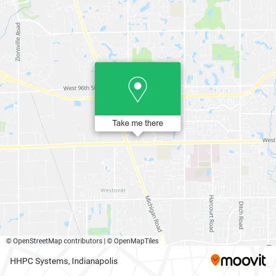
See HHPC Systems, Indianapolis City (Balance), on the map
Public Transit to HHPC Systems in Indianapolis City (Balance)
Wondering how to get to HHPC Systems in Indianapolis City (Balance)? Moovit helps you find the best way to get to HHPC Systems with step-by-step directions from the nearest public transit station.
Moovit provides free maps and live directions to help you navigate through your city. View schedules, routes, timetables, and find out how long does it take to get to HHPC Systems in real time.
Looking for the nearest stop or station to HHPC Systems? Check out this list of stops closest to your destination: Purdue Rd & Founders Rd.
Bus: 34.
Want to see if there’s another route that gets you there at an earlier time? Moovit helps you find alternative routes or times. Get directions from and directions to HHPC Systems easily from the Moovit App or Website.
We make riding to HHPC Systems easy, which is why over 1.5 million users, including users in Indianapolis City (Balance), trust Moovit as the best app for public transit. You don’t need to download an individual bus app or train app, Moovit is your all-in-one transit app that helps you find the best bus time or train time available.
For information on prices of bus, costs and ride fares to HHPC Systems, please check the Moovit app.
Use the app to navigate to popular places including to the airport, hospital, stadium, grocery store, mall, coffee shop, school, college, and university.
HHPC Systems Address: 8777 Purdue Rd Indianapolis, IN 46268 street in Indianapolis City (Balance)
- Family Dental Lakewood,
- KW Mann Attorney at Law,
- Eagle Land Title,
- Arnold Meyer Commercial Real Estate,
- Saeed and Little, LLP,
- NSCT,
- Trans America,
- The UPS Store,
- Affordable Funeral Network,
- St. Elizabeth / Coleman Pregnancy & Adoption Services,
- Trinity Safety Group,
- Herwork 2 Networth,
- U.S.A Nails,
- Memory Lane Tattoo Club,
- Zta Foundation,
- Christopher Obeime, MD - Doctors Skin Care,
- Indianapolis District Dental Society,
- Lock Around the Block,
- Genesis Projects TLC,
- Crawford Murphy & Tilly
Places Near HHPC Systems (Indianapolis City (Balance))
- Cotter's Massage Parlor With Happy Endings, Indianapolis City (Balance),
- I U Health Methodist Hospital, Indianapolis City (Balance),
- Castleton Square Mall, Indianapolis,
- THE BALT, Indianapolis City (Balance),
- Lilly Corporate Center (Eli Lilly & Co), Indianapolis City (Balance),
- Indianapolis Motor Speedway, Speedway,
- Methodist Hospital of Indianapolis, Indianapolis City (Balance),
- Jersey Barn, Indianapolis City (Balance),
- Train Ride At Castleton Mall, Indianapolis City (Balance),
- Gainbridge Fieldhouse, Indianapolis City (Balance),
- Plainfield, IN, Plainfield,
- St. Vincent entrance #1, Indianapolis City (Balance),
- Lucas Oil Stadium, Indianapolis City (Balance),
- Eskenazi Hospital, Indianapolis City (Balance),
- 119 W 19th St Parking, Indianapolis City (Balance),
- Indiana Convention Center, Indianapolis City (Balance),
- I-465 / I-65 Interchange, Indianapolis City (Balance),
- Indianapolis Airport Zone 2, Indianapolis City (Balance),
- St. Vincent Hospital - Indianapolis, Indianapolis City (Balance),
- Indiana, Indianapolis City (Balance)
How to get to popular places in Indianapolis with public transit
Get around Indianapolis City (Balance) by public transit!
Traveling around Indianapolis City (Balance) has never been so easy. See step by step directions as you travel to any attraction, street or major public transit station. View bus and train schedules, arrival times, service alerts and detailed routes on a map, so you know exactly how to get to anywhere in Indianapolis City (Balance).
When traveling to any destination around Indianapolis City (Balance) use Moovit's Live Directions with Get Off Notifications to know exactly where and how far to walk, how long to wait for your line, and how many stops are left. Moovit will alert you when it's time to get off — no need to constantly re-check whether yours is the next stop.
Wondering how to use public transit in Indianapolis City (Balance) or how to pay for public transit in Indianapolis City (Balance)? Moovit public transit app can help you navigate your way with public transit easily, and at minimum cost. It includes public transit fees, ticket prices, and costs. Looking for a map of Indianapolis City (Balance) public transit lines? Moovit public transit app shows all public transit maps in Indianapolis City (Balance) with all bus routes and stops on an interactive map.
Indianapolis has 1 transit type(s), including: bus, operated by several transit agencies, including IndyGo, FlixBus-us and Greyhound-us