How to get to HPR Custom S by bus?
Click on the bus route to see step by step directions with maps, line arrival times and updated time schedules.
From Port of Baltimore - Cruise Maryland Terminal, Baltimore
52 minFrom Arundel Mills, Anne Arundel County
96 minFrom Walmart Supercenter, Baltimore County
50 minFrom Maryland Live! Casino, Anne Arundel County
98 minFrom Walmart, Baltimore County
50 minFrom Archbishop Spalding High School, Severn
46 minFrom Horseshoe Baltimore, Baltimore
45 minFrom Baltimore Greyhound Station, Baltimore
44 minFrom Topgolf, Baltimore
48 minFrom Horseshoe Casino Baltimore, Baltimore
44 min
Bus stop near HPR Custom S in Anne Arundel County
- Crain Hwy & 8th Ave Sb, 3 min walk,VIEW
Light Rail stations near HPR Custom S in Anne Arundel County
- Glen Burnie (Cromwell), 33 min walk,VIEW
What are the closest stations to HPR Custom S?
The closest stations to HPR Custom S are:
- Crain Hwy & 8th Ave Sb is 192 yards away, 3 min walk.
- Glen Burnie (Cromwell) is 2749 yards away, 33 min walk.
Which bus line stops near HPR Custom S?
69 (Jumpers Hole)
What’s the nearest bus station to HPR Custom S in Anne Arundel County?
The nearest bus station to HPR Custom S in Anne Arundel County is Crain Hwy & 8th Ave Sb. It’s a 3 min walk away.
What time is the first light rail to HPR Custom S in Anne Arundel County?
The LIGHT RAILLINK is the first light rail that goes to HPR Custom S in Anne Arundel County. It stops nearby at 4:32 AM.
What time is the last light rail to HPR Custom S in Anne Arundel County?
The LIGHT RAILLINK is the last light rail that goes to HPR Custom S in Anne Arundel County. It stops nearby at 12:30 AM.
What time is the first bus to HPR Custom S in Anne Arundel County?
The 70 is the first bus that goes to HPR Custom S in Anne Arundel County. It stops nearby at 5:18 AM.
What time is the last bus to HPR Custom S in Anne Arundel County?
The 69 is the last bus that goes to HPR Custom S in Anne Arundel County. It stops nearby at 2:37 AM.
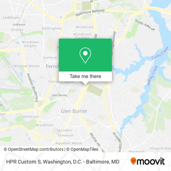
See HPR Custom S, Anne Arundel County, on the map
Public Transit to HPR Custom S in Anne Arundel County
Wondering how to get to HPR Custom S in Anne Arundel County? Moovit helps you find the best way to get to HPR Custom S with step-by-step directions from the nearest public transit station.
Moovit provides free maps and live directions to help you navigate through your city. View schedules, routes, timetables, and find out how long does it take to get to HPR Custom S in real time.
Looking for the nearest stop or station to HPR Custom S? Check out this list of stops closest to your destination: Crain Hwy & 8th Ave Sb; Glen Burnie (Cromwell).
Bus: 69, 70.
Want to see if there’s another route that gets you there at an earlier time? Moovit helps you find alternative routes or times. Get directions from and directions to HPR Custom S easily from the Moovit App or Website.
We make riding to HPR Custom S easy, which is why over 1.5 million users, including users in Anne Arundel County, trust Moovit as the best app for public transit. You don’t need to download an individual bus app or train app, Moovit is your all-in-one transit app that helps you find the best bus time or train time available.
For information on prices of bus and light rail, costs and ride fares to HPR Custom S, please check the Moovit app.
Use the app to navigate to popular places including to the airport, hospital, stadium, grocery store, mall, coffee shop, school, college, and university.
HPR Custom S Address: 705 Crain Hwy N Glen Burnie, MD 21061 street in Anne Arundel County
- Mobile Electronics,
- Jack's Tire & Auto,
- Mariana Tacos Rosales,
- Emergency Lockout Service,
- Caliber Auto Glass,
- Honda Service & Parts,
- Mobil Mart,
- Gold Flower Massage Spa,
- Jig Entertainment Grou,
- All Star Collision & Auto Care,
- Dance Explosion Infinity,
- The Learning Express,
- ChargePoint,
- Blink Charging,
- Estimated Quoteartboard 3,
- MD-3-BR ,
- Lifesafer Ignition Interlock,
- Hazzard Technology,
- Maryland Waterproofing,
- Proguard Autoglass
Places Near HPR Custom S (Anne Arundel County)
- Amazon Hq2, Arlington County,
- Rock Creek Tennis Center, Washington,
- Georgetown, Washington,
- Basilica of the National Shrine, Washington,
- National Zoo, Washington,
- The Anthem, Washington,
- National Museum of African American History and Culture, Washington,
- Marriott Marquis Washington, DC, Washington,
- National Mall, Washington,
- Camden Yards, Baltimore,
- Westfield Montgomery Mall, Montgomery County,
- Washington DC VA Medical Center, Washington,
- Washington National Cathedral, Washington,
- Sibley Memorial Hospital, Washington,
- Capital One Arena, Washington,
- PG Mall, Prince George's County,
- Pennsylvania Ave NW (3rd st and pennsylvania), Washington,
- Museum Of The Bible, Washington,
- Warner Theatre, Washington,
- M&T Bank Stadium, Baltimore
How to get to popular places in Washington, D.C. - Baltimore, MD with public transit
Get around Anne Arundel County by public transit!
Traveling around Anne Arundel County has never been so easy. See step by step directions as you travel to any attraction, street or major public transit station. View bus and train schedules, arrival times, service alerts and detailed routes on a map, so you know exactly how to get to anywhere in Anne Arundel County.
When traveling to any destination around Anne Arundel County use Moovit's Live Directions with Get Off Notifications to know exactly where and how far to walk, how long to wait for your line, and how many stops are left. Moovit will alert you when it's time to get off — no need to constantly re-check whether yours is the next stop.
Wondering how to use public transit in Anne Arundel County or how to pay for public transit in Anne Arundel County? Moovit public transit app can help you navigate your way with public transit easily, and at minimum cost. It includes public transit fees, ticket prices, and costs. Looking for a map of Anne Arundel County public transit lines? Moovit public transit app shows all public transit maps in Anne Arundel County with all Bus, Train, Metro, Light Rail and Ferry routes and stops on an interactive map.
Washington, D.C. - Baltimore, MD has 5 transit type(s), including: Bus, Train, Metro, Light Rail and Ferry, operated by several transit agencies, including WMATA, Montgomery County Ride On, Fairfax Connector, TheBus, PRTC, DASH - Alexandria, Arlington Transit (ART), RTA of Central Maryland, MDOT MTA, MDOT MTA Light RailLink, MDOT MTA Commuter Bus, MDOT MTA Local Bus, FXBGO!, Virginia Railway Express (VRE) and MARC