How to get to H&M Builders by bus?
Click on the bus route to see step by step directions with maps, line arrival times and updated time schedules.
From Crystal Glass, Fort Saskatchewan
25 minFrom Mcconachie, Edmonton
262 minFrom Sturgeon County, Edmonton
287 minFrom Manning Town Centre, Edmonton
269 minFrom Giant Tiger, Edmonton
254 minFrom Kristen Dyki Designs, Edmonton
284 minFrom Scotford Aggregates Ltd, Fort Saskatchewan
26 minFrom Dow Chemical Canada Inc, Fort Sask Plant Site, Fort Saskatchewan
27 minFrom Cy Becker, Edmonton
270 min
Bus stop near H&M Builders in Fort Saskatchewan
- Westpark Drive And Woodbridge Link, 2 min walk,VIEW
Bus lines to H&M Builders in Fort Saskatchewan
- 610, Westpark,VIEW
What are the closest stations to H&M Builders?
The closest stations to H&M Builders are:
- Westpark Drive And Woodbridge Link is 77 meters away, 2 min walk.
Which bus lines stop near H&M Builders?
These bus lines stop near H&M Builders: 600, 610.
What’s the nearest bus station to H&M Builders in Fort Saskatchewan?
The nearest bus station to H&M Builders in Fort Saskatchewan is Westpark Drive And Woodbridge Link. It’s a 2 min walk away.
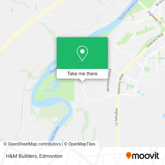
See H&M Builders, Fort Saskatchewan, on the map
Public Transit to H&M Builders in Fort Saskatchewan
Wondering how to get to H&M Builders in Fort Saskatchewan? Moovit helps you find the best way to get to H&M Builders with step-by-step directions from the nearest public transit station.
Moovit provides free maps and live directions to help you navigate through your city. View schedules, routes, timetables, and find out how long does it take to get to H&M Builders in real time.
Looking for the nearest stop or station to H&M Builders? Check out this list of stops closest to your destination: Westpark Drive And Woodbridge Link.
Bus: 600, 610.
Want to see if there’s another route that gets you there at an earlier time? Moovit helps you find alternative routes or times. Get directions from and directions to H&M Builders easily from the Moovit App or Website.
We make riding to H&M Builders easy, which is why over 1.5 million users, including users in Fort Saskatchewan, trust Moovit as the best app for public transit. You don’t need to download an individual bus app or train app, Moovit is your all-in-one transit app that helps you find the best bus time or train time available.
For information on prices of bus, costs and ride fares to H&M Builders, please check the Moovit app.
Use the app to navigate to popular places including to the airport, hospital, stadium, grocery store, mall, coffee shop, school, college, and university.
H&M Builders Address: Cottonwood Cres Fort Saskatchewan, AB T8L 0H8 street in Fort Saskatchewan
- Complete Mobile Repair,
- Sage Stone Malas,
- Snap on Tools,
- Snapon,
- A Hint of Sweet,
- MB Elite Exteriors,
- Quality Electric,
- Finish Line Films,
- Elia Painting,
- Pryce Alderson Park,
- Time 4 U Day Spa,
- Westpark Beauty,
- Tonka Cleaning,
- Cortez Venture,
- Pryce Alderson Park,
- Fort Saskatchewan 24 / 7 Locksmith,
- Pet Planet,
- Wok N' GO,
- Discount Car & Truck Rentals,
- North Central Co-Opera
Places Near H&M Builders (Fort Saskatchewan)
- Edmonton VIA Rail Station, Edmonton,
- Londonderry Mall, Edmonton,
- Royal Alexandra Hospital, Edmonton,
- Fort Edmonton Park, Edmonton,
- MacEwan University, Edmonton,
- Borden Park, Edmonton,
- Alberta Legislature Building, Edmonton,
- Canada Place Service Canada Centre, Edmonton,
- Cross Cancer Institute, Edmonton,
- West Edmonton Mall, Edmonton,
- Kingsway Mall, Edmonton,
- Northgate Centre, Edmonton,
- University of Alberta, Edmonton,
- Grey Nuns Community Hospital, Edmonton,
- Rogers Place, Edmonton,
- Kaye Edmonton Clinic, Edmonton,
- Edmonton Valley Zoo, Edmonton,
- Edmonton EXPO Centre, Edmonton,
- Edmonton Commonwealth Stadium, Edmonton,
- Whyte Avenue, Edmonton
How to get to popular places in Edmonton with public transit
Get around Fort Saskatchewan by public transit!
Traveling around Fort Saskatchewan has never been so easy. See step by step directions as you travel to any attraction, street or major public transit station. View bus and train schedules, arrival times, service alerts and detailed routes on a map, so you know exactly how to get to anywhere in Fort Saskatchewan.
When traveling to any destination around Fort Saskatchewan use Moovit's Live Directions with Get Off Notifications to know exactly where and how far to walk, how long to wait for your line, and how many stops are left. Moovit will alert you when it's time to get off — no need to constantly re-check whether yours is the next stop.
Wondering how to use public transit in Fort Saskatchewan or how to pay for public transit in Fort Saskatchewan? Moovit public transit app can help you navigate your way with public transit easily, and at minimum cost. It includes public transit fees, ticket prices, and costs. Looking for a map of Fort Saskatchewan public transit lines? Moovit public transit app shows all public transit maps in Fort Saskatchewan with all Bus and Light Rail routes and stops on an interactive map.
Edmonton has 2 transit type(s), including: Bus and Light Rail, operated by several transit agencies, including ETS LRT, ETS, Strathcona County Transit, St. Albert Transit, Spruce Grove Transit, Fort Saskatchewan Transit, Beaumont Transit and Leduc Transit