Haight St & Masonic Ave stop - Thursday schedule
| Line | Direction | Time |
|---|---|---|
| N OWL | Fourth St + Townsend | 5:07 AM |
| 7 | Transit Center | 5:21 AM |
| 7 | Transit Center | 5:37 AM |
| N OWL | Fourth St + Townsend | 5:37 AM |
| 7 | Transit Center | 5:53 AM |
| 7 | Transit Center | 6:09 AM |
| 7 | Transit Center | 6:25 AM |
| 7 | Transit Center | 6:40 AM |
| 7 | Transit Center | 6:55 AM |
| 7 | Transit Center | 7:09 AM |
| 7 | Transit Center | 7:24 AM |
| 7 | Transit Center | 7:36 AM |
| 7 | Transit Center | 7:49 AM |
| 7 | Transit Center | 8:01 AM |
| 7 | Transit Center | 8:13 AM |
| 7 | Transit Center | 8:25 AM |
| 7 | Transit Center | 8:37 AM |
| 7 | Transit Center | 8:50 AM |
| 7 | Transit Center | 9:01 AM |
| 7 | Transit Center | 9:14 AM |
| 7 | Transit Center | 9:26 AM |
| 7 | Transit Center | 9:39 AM |
| 7 | Transit Center | 9:51 AM |
| 7 | Transit Center | 10:03 AM |
| 7 | Transit Center | 10:15 AM |
Directions to Haight St & Masonic Ave stop (Haight Ashbury) with public transit
The following transit lines have routes that pass near Haight St & Masonic Ave
 Bus: 37, 43, 6, 7, 33.
- BART: RED, YELLOW.
How to get to Haight St & Masonic Ave stop by bus?
Click on the bus route to see step by step directions with maps, line arrival times and updated time schedules.
How to get to Haight St & Masonic Ave stop by BART?
Click on the BART route to see step by step directions with maps, line arrival times and updated time schedules.
Bus stops near Haight St & Masonic Ave stop in Haight Ashbury
- Masonic Ave & OAK St, 2 min walk,
- Haight St & Masonic Ave, 4 min walk,
- Ashbury St & Waller St, 4 min walk,
- Masonic Ave & Haight St, 4 min walk,
Light Rail stations near Haight St & Masonic Ave station in Haight Ashbury
- Carl St & Cole St, 13 min walk,
- Castro, 23 min walk,
- Market St & Sanchez St, 26 min walk,
Bus lines to Haight St & Masonic Ave stop in Haight Ashbury
- 6, Civic Center Station,
- 43, Munich + Geneva,
- N OWL, Owl Judah,
- 7, Haight - Noriega,
- 33, Arguello + California Street,
- 37, Masonic + Haight,
What are the closest stations to Haight St & Masonic Ave?
The closest stations to Haight St & Masonic Ave are:
- Masonic Ave & OAK St stop is 78 yards away, 2 min walk.
- Haight St & Masonic Ave stop is 292 yards away, 4 min walk.
- Ashbury St & Waller St stop is 292 yards away, 4 min walk.
- Masonic Ave & Haight St stop is 293 yards away, 4 min walk.
- Carl St & Cole St station is 1107 yards away, 13 min walk.
- Castro station is 1961 yards away, 23 min walk.
- Market St & Sanchez St station is 2213 yards away, 26 min walk.
Which bus lines stop near Haight St & Masonic Ave?
These bus lines stop near Haight St & Masonic Ave: 37, 43, 6, 7.
Which BART lines stop near Haight St & Masonic Ave?
These BART lines stop near Haight St & Masonic Ave: RED, YELLOW.
What’s the nearest light rail station to Haight St & Masonic Ave in Haight Ashbury?
The nearest light rail station to Haight St & Masonic Ave in Haight Ashbury is Carl St & Cole St. It’s a 13 min walk away.
What’s the nearest bus station to Haight St & Masonic Ave in Haight Ashbury?
The nearest bus station to Haight St & Masonic Ave in Haight Ashbury is Masonic Ave & OAK St. It’s a 2 min walk away.
What time is the first light rail to Haight St & Masonic Ave in Haight Ashbury?
The N is the first light rail that goes to Haight St & Masonic Ave in Haight Ashbury. It stops nearby at 4:52 AM.
What time is the last light rail to Haight St & Masonic Ave in Haight Ashbury?
The N is the last light rail that goes to Haight St & Masonic Ave in Haight Ashbury. It stops nearby at 1:01 AM.
What time is the first bus to Haight St & Masonic Ave in Haight Ashbury?
The N OWL is the first bus that goes to Haight St & Masonic Ave in Haight Ashbury. It stops nearby at 3:00 AM.
What time is the last bus to Haight St & Masonic Ave in Haight Ashbury?
The N OWL is the last bus that goes to Haight St & Masonic Ave in Haight Ashbury. It stops nearby at 3:06 AM.
Haight St & Masonic Ave station
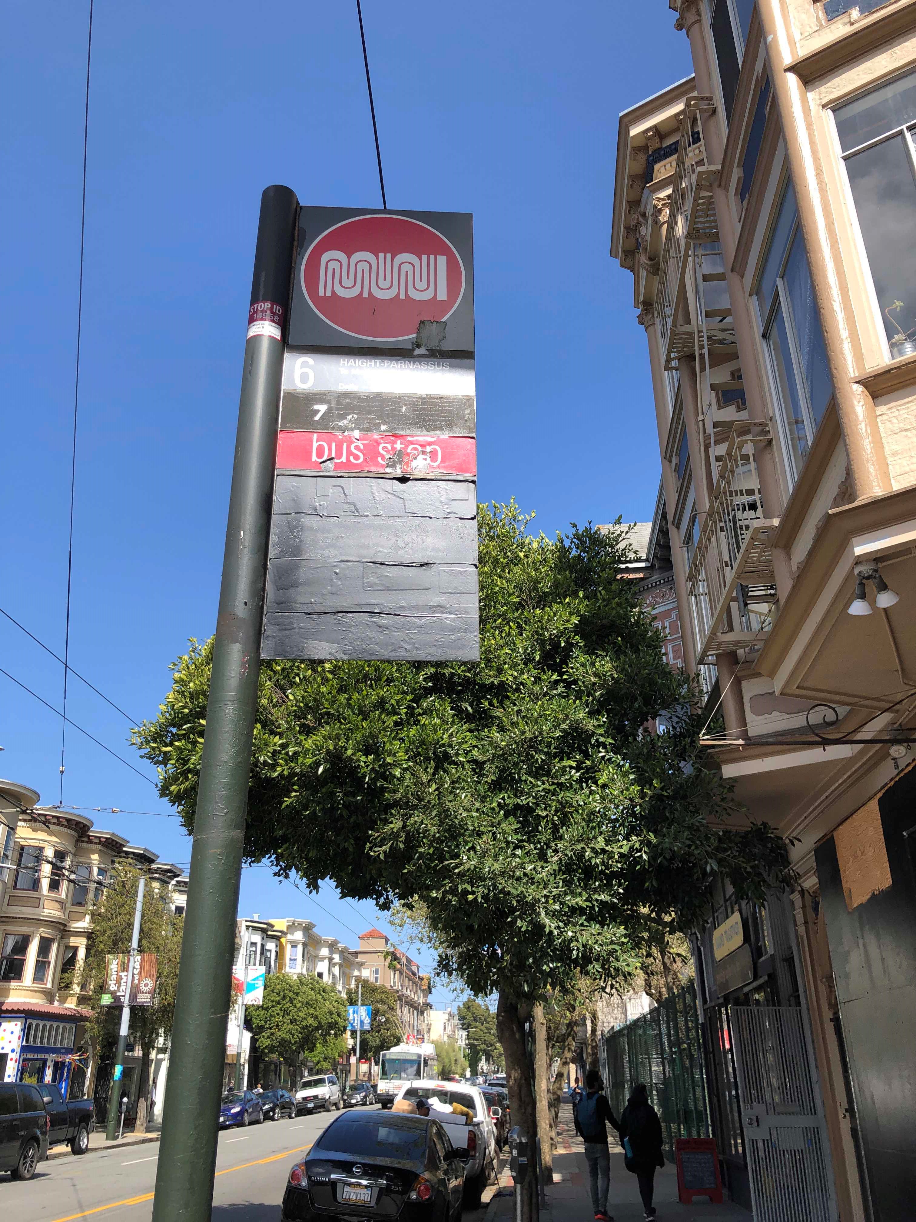 Taken by Anonymous
See Haight St & Masonic Ave stop, Haight Ashbury, on the map
Public transit to Haight St & Masonic Ave stop (ID: 14958) in Haight Ashbury
Looking for directions to Haight St & Masonic Ave in Haight Ashbury, United States?
Download the Moovit App to find the current schedule and step-by-step directions for Bus, BART or Light Rail routes that pass through Haight St & Masonic Ave.
Looking for the nearest stops closest to Haight St & Masonic Ave ? Check out this list of closest stops to your destination: Masonic Ave & OAK St; Haight St & Masonic Ave; Ashbury St & Waller St; Masonic Ave & Haight St; Carl St & Cole St; Castro; Market St & Sanchez St.
Bus: 37, 43, 6, 7, 33, N OWL.BART: RED, YELLOW.
We make riding on public transit to Haight St & Masonic Ave easy, which is why over 1.7 billion users, including users in Haight Ashbury trust Moovit as the best app for public transit.
Use the app to navigate to popular places including to the airport, hospital, stadium, grocery store, mall, coffee shop, school, college, and university.
Haight St & Masonic Ave stop’s code is 14958
The first line to this stop is N OWL, at 5:07 AM, and the last line is N OWL at 4:37 AM.
1398 Haight Street, San Francisco, CA, USA
This stop serves MUNI’s lines
Popular routes from Haight St & Masonic Ave stop, Haight Ashbury
- Masonic Ave & OAK St,
- Haight St & Masonic Ave,
- Ashbury St & Waller St,
- Masonic Ave & Haight St
Bus stops near Haight St & Masonic Ave stop
- Carl St & Cole St,
- Castro,
- Market St & Sanchez St
Light Rail stations near Haight St & Masonic Ave station
- 7th St & Folsom St,
- 16th St. Mission,
- N Milpitas Blvd & Jacklin Rd (N Abel St),
- Connecticut St & 17th St,
- Columbus Ave & Green St,
- Milpitas & Dixon,
- Powell St & Beach St,
- 1111 8th Street (CCA/Adobe),
- Fulton St & Clayton St,
- The Embarcadero & Brannan St,
- 380 Littlefield Ave. (PM Only),
- San Pablo Ave and Appian Way - Westbound,
- 24th St & Valencia St,
- Coliseum/Oakland Airport,
- Ashby BART,
- Gellert Blvd & Westborough Blvd,
- Rosewood Hotel,
- High St & Foothill Blvd,
- The Alameda & Naglee (E),
- Market St & 6th St
Popular public transit stations in Haight Ashbury
Get around Haight Ashbury by public transit!
Traveling around Haight Ashbury has never been so easy. See step by step directions as you travel to any attraction, street or major public transit station. View bus and train schedules, arrival times, service alerts and detailed routes on a map, so you know exactly how to get to anywhere in Haight Ashbury.
When traveling to any destination around Haight Ashbury use Moovit's Live Directions with Get Off Notifications to know exactly where and how far to walk, how long to wait for your line, and how many stops are left. Moovit will alert you when it's time to get off — no need to constantly re-check whether yours is the next stop.
Wondering how to use public transit in Haight Ashbury or how to pay for public transit in Haight Ashbury? Moovit public transit app can help you navigate your way with public transit easily, and at minimum cost. It includes public transit fees, ticket prices, and costs. Looking for a map of Haight Ashbury public transit lines? Moovit public transit app shows all public transit maps in Haight Ashbury with all Bus, Train, BART, Light Rail, Ferry and Cable Car routes and stops on an interactive map.
San Francisco - San Jose, CA has 6 transit type(s), including: Bus, Train, BART, Light Rail, Ferry and Cable Car, operated by several transit agencies, including BART, Bay Area Rapid Transit, Muni Metro, Caltrain, VTA, Capitol Corridor, Sonoma-Marin Area Rail Transit, MUNI, SF Cable Car, AC Transit , AC Transit, Dumbarton Express, Golden Gate Transit, County Connection and SamTrans