How to get to Hair Cuttery by bus?
Click on the bus route to see step by step directions with maps, line arrival times and updated time schedules.
From Lorton, VA - Amtrak Auto Train Station (LOR), Fairfax County
198 minFrom Rose Gaming Resort, Prince William County
208 minFrom Department of State SA 34, Fairfax County
271 minFrom Potomac Mills Mall, Prince William County
183 minFrom Lorton, VA, Fairfax County
193 minFrom Manassas, VA, Manassas
386 minFrom Woodbridge, VA, Prince William County
128 min
Bus stop near Hair Cuttery in Stafford County
- 511 - Stafford County Courthouse, 3 min walk,VIEW
Bus lines to Hair Cuttery in Stafford County
- ROUTE 22, Outbound,VIEW
What are the closest stations to Hair Cuttery?
The closest stations to Hair Cuttery are:
- 511 - Stafford County Courthouse is 234 yards away, 3 min walk.
Which bus lines stop near Hair Cuttery?
These bus lines stop near Hair Cuttery: 942, ROUTE 22.
What’s the nearest bus station to Hair Cuttery in Stafford County?
The nearest bus station to Hair Cuttery in Stafford County is 511 - Stafford County Courthouse. It’s a 3 min walk away.
What time is the first bus to Hair Cuttery in Stafford County?
The ROUTE 22 is the first bus that goes to Hair Cuttery in Stafford County. It stops nearby at 7:21 AM.
What time is the last bus to Hair Cuttery in Stafford County?
The ROUTE 22 is the last bus that goes to Hair Cuttery in Stafford County. It stops nearby at 6:30 PM.
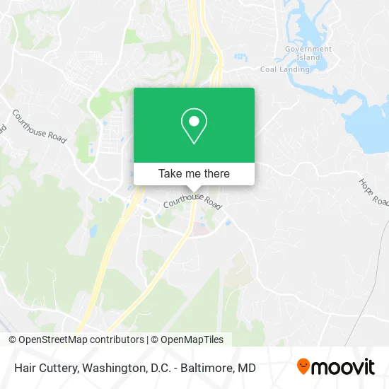
See Hair Cuttery, Stafford County, on the map
Public Transit to Hair Cuttery in Stafford County
Wondering how to get to Hair Cuttery in Stafford County? Moovit helps you find the best way to get to Hair Cuttery with step-by-step directions from the nearest public transit station.
Moovit provides free maps and live directions to help you navigate through your city. View schedules, routes, timetables, and find out how long does it take to get to Hair Cuttery in real time.
Looking for the nearest stop or station to Hair Cuttery? Check out this list of stops closest to your destination: 511 - Stafford County Courthouse.
Bus: 942, ROUTE 22.
Want to see if there’s another route that gets you there at an earlier time? Moovit helps you find alternative routes or times. Get directions from and directions to Hair Cuttery easily from the Moovit App or Website.
We make riding to Hair Cuttery easy, which is why over 1.5 million users, including users in Stafford County, trust Moovit as the best app for public transit. You don’t need to download an individual bus app or train app, Moovit is your all-in-one transit app that helps you find the best bus time or train time available.
For information on prices of bus, metro and train, costs and ride fares to Hair Cuttery, please check the Moovit app.
Use the app to navigate to popular places including to the airport, hospital, stadium, grocery store, mall, coffee shop, school, college, and university.
Hair Cuttery Address: Jefferson Davis Hwy Stafford, VA 22554 street in Stafford County
- JP Lawn Care & Home Services,
- Kabul Bazaar,
- Trini Heating and Cooling,
- Trusty - Stafford,
- Regnant Queen Laundry Pickup & Delivery,
- Theface Executioner,
- Stafford VA USA,
- Park Ridge Hoa Stafford VA,
- Elite Group Insurance Services,
- The Gemini Firm,
- Stafford County Tree Lighting,
- Stafford Armed Services Memorial,
- Stafford County Wills RDRDTN,
- Northern Virginia Lawyers,
- Five Guys,
- Premium General Contractor,
- Master Finisher Service,
- New Light Cathedral,
- Warrior Roofing,
- Bee Happy Nutrition VA
Places Near Hair Cuttery (Stafford County)
- Warner Theatre, Washington,
- National Theatre, Washington,
- Washington National Cathedral, Washington,
- Pennsylvania Ave NW (3rd st and pennsylvania), Washington,
- Capital One Arena, Washington,
- Westfield Montgomery Mall, Montgomery County,
- Camden Yards, Baltimore,
- Basilica of the National Shrine, Washington,
- Marriott Marquis Washington, DC, Washington,
- National Zoo, Washington,
- Sibley Memorial Hospital, Washington,
- Rock Creek Tennis Center, Washington,
- M&T Bank Stadium, Baltimore,
- Washington DC VA Medical Center, Washington,
- Museum Of The Bible, Washington,
- PG Mall, Prince George's County,
- Amazon Hq2, Arlington County,
- The Anthem, Washington,
- National Museum of African American History and Culture, Washington,
- Georgetown, Washington
How to get to popular places in Washington, D.C. - Baltimore, MD with public transit
Get around Stafford County by public transit!
Traveling around Stafford County has never been so easy. See step by step directions as you travel to any attraction, street or major public transit station. View bus and train schedules, arrival times, service alerts and detailed routes on a map, so you know exactly how to get to anywhere in Stafford County.
When traveling to any destination around Stafford County use Moovit's Live Directions with Get Off Notifications to know exactly where and how far to walk, how long to wait for your line, and how many stops are left. Moovit will alert you when it's time to get off — no need to constantly re-check whether yours is the next stop.
Wondering how to use public transit in Stafford County or how to pay for public transit in Stafford County? Moovit public transit app can help you navigate your way with public transit easily, and at minimum cost. It includes public transit fees, ticket prices, and costs. Looking for a map of Stafford County public transit lines? Moovit public transit app shows all public transit maps in Stafford County with all Bus, Train, Metro, Light Rail and Ferry routes and stops on an interactive map.
Washington, D.C. - Baltimore, MD has 5 transit type(s), including: Bus, Train, Metro, Light Rail and Ferry, operated by several transit agencies, including WMATA, Montgomery County Ride On, Fairfax Connector, TheBus, PRTC, DASH - Alexandria, Arlington Transit (ART), RTA of Central Maryland, MDOT MTA, MDOT MTA Light RailLink, MDOT MTA Commuter Bus, MDOT MTA Local Bus, FXBGO!, Virginia Railway Express (VRE) and MARC