Hawthorne / 169th stop - Sunday schedule
| Line | Direction | Time |
|---|---|---|
| 40 | Downtown LA - Union Station | 4:42 AM |
| 40 | Downtown LA - Union Station | 5:13 AM |
| 40 | Downtown LA - Union Station | 5:33 AM |
| 40 | Downtown LA - Union Station | 6:00 AM |
| 40 | Downtown LA - Union Station | 6:15 AM |
| 40 | Downtown LA - Union Station | 6:38 AM |
| 40 | Downtown LA - Union Station | 6:52 AM |
| 40 | Downtown LA - Union Station | 7:06 AM |
| 40 | Downtown LA - Union Station | 7:19 AM |
| 40 | Downtown LA - Union Station | 7:34 AM |
| 40 | Downtown LA - Union Station | 7:49 AM |
| 40 | Downtown LA - Union Station | 8:03 AM |
| 40 | Downtown LA - Union Station | 8:16 AM |
| 40 | Downtown LA - Union Station | 8:30 AM |
| 40 | Downtown LA - Union Station | 8:44 AM |
| 40 | Downtown LA - Union Station | 8:58 AM |
| 40 | Downtown LA - Union Station | 9:12 AM |
| 40 | Downtown LA - Union Station | 9:27 AM |
| 40 | Downtown LA - Union Station | 9:42 AM |
| 40 | Downtown LA - Union Station | 9:56 AM |
| 40 | Downtown LA - Union Station | 10:07 AM |
| 40 | Downtown LA - Union Station | 10:22 AM |
| 40 | Downtown LA - Union Station | 10:40 AM |
| 40 | Downtown LA - Union Station | 10:53 AM |
| 40 | Downtown LA - Union Station | 11:09 AM |
Directions to Hawthorne / 169th stop (Lawndale) with public transit
The following transit lines have routes that pass near Hawthorne / 169th
 Bus: 344, 40, EX, RES.
- Subway: K LINE.
How to get to Hawthorne / 169th stop by bus?
Click on the bus route to see step by step directions with maps, line arrival times and updated time schedules.
How to get to Hawthorne / 169th stop by subway?
Click on the subway route to see step by step directions with maps, line arrival times and updated time schedules.
Bus stops near Hawthorne / 169th stop in Lawndale
- Hawthorne Blvd & 169th St, 2 min walk,
- Hawthorne / 169th, 2 min walk,
- Freeman Ave & Redondo Beach Blvd, 7 min walk,
Subway stations near Hawthorne / 169th station in Lawndale
- Redondo Beach Station, 41 min walk,
Bus lines to Hawthorne / 169th stop in Lawndale
- EX, Loop,
- 40, Downtown LA - Union Station,
- RES, Loop,
What are the closest stations to Hawthorne / 169th?
The closest stations to Hawthorne / 169th are:
- Hawthorne Blvd & 169th St is 83 yards away, 2 min walk.
- Hawthorne / 169th is 98 yards away, 2 min walk.
- Freeman Ave & Redondo Beach Blvd is 534 yards away, 7 min walk.
- Redondo Beach Station is 3458 yards away, 41 min walk.
Which bus lines stop near Hawthorne / 169th?
These bus lines stop near Hawthorne / 169th: 344, 40, EX.
Which subway line stops near Hawthorne / 169th?
K LINE (Redondo Beach Station)
What’s the nearest bus station to Hawthorne / 169th in Lawndale?
The nearest bus stations to Hawthorne / 169th in Lawndale are Hawthorne Blvd & 169th St and Hawthorne / 169th. The closest one is a 2 min walk away.
What time is the first subway to Hawthorne / 169th in Lawndale?
The K LINE is the first subway that goes to Hawthorne / 169th in Lawndale. It stops nearby at 3:50 AM.
What time is the last subway to Hawthorne / 169th in Lawndale?
The K LINE is the last subway that goes to Hawthorne / 169th in Lawndale. It stops nearby at 12:56 AM.
What time is the first bus to Hawthorne / 169th in Lawndale?
The 40 is the first bus that goes to Hawthorne / 169th in Lawndale. It stops nearby at 4:39 AM.
What time is the last bus to Hawthorne / 169th in Lawndale?
The 210 is the last bus that goes to Hawthorne / 169th in Lawndale. It stops nearby at 2:40 AM.
Hawthorne / 169th station
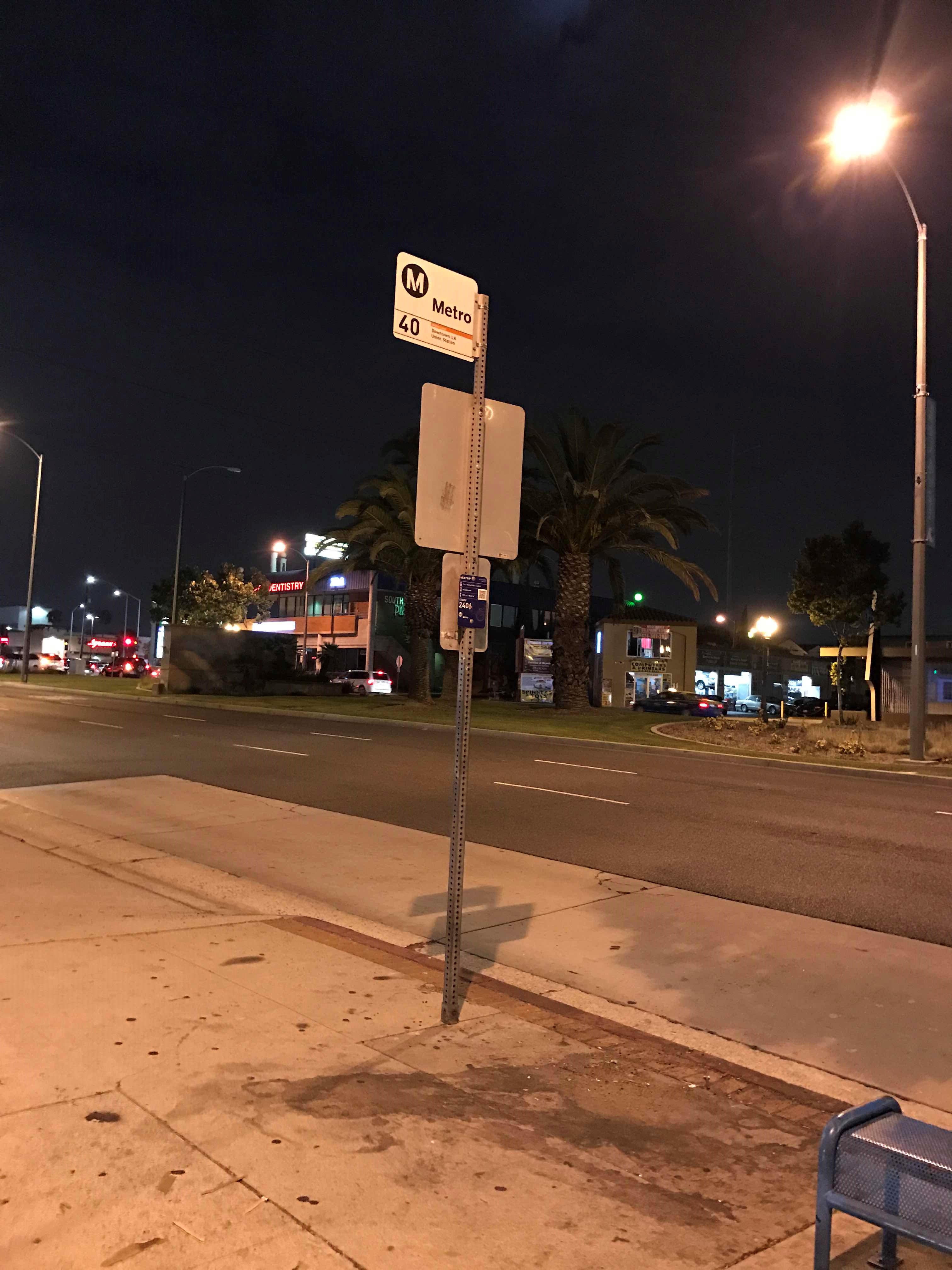 Taken by Anonymous
See Hawthorne / 169th stop, Lawndale, on the map
Public transit to Hawthorne / 169th stop (ID: 2368) in Lawndale
Looking for directions to Hawthorne / 169th in Lawndale, United States?
Download the Moovit App to find the current schedule and step-by-step directions for Bus or Subway routes that pass through Hawthorne / 169th.
Looking for the nearest stops closest to Hawthorne / 169th ? Check out this list of closest stops to your destination: Hawthorne Blvd & 169th St; Hawthorne / 169th; Freeman Ave & Redondo Beach Blvd; Redondo Beach Station.
Bus: 344, 40, EX, RES.Subway: K LINE.
We make riding on public transit to Hawthorne / 169th easy, which is why over 1.5 million users, including users in Lawndale trust Moovit as the best app for public transit.
Use the app to navigate to popular places including to the airport, hospital, stadium, grocery store, mall, coffee shop, school, college, and university.
Hawthorne / 169th stop’s code is 2368
The first line to this stop is 40, at 4:42 AM, and the last line is 40 at 11:59 PM.
16900 Highway 107, Lawndale, CA, USA
This stop serves Metro’s lines
- Hawthorne Blvd & 169th St,
- Hawthorne / 169th,
- Freeman Ave & Redondo Beach Blvd
Bus stops near Hawthorne / 169th stop
- Redondo Beach Station
Subway station near Hawthorne / 169th station
- Devonshire & Balboa,
- Monrovia,
- Pacific Coast Highway / Hawthorne,
- Tapo Canyon Road and 118 Freeway,
- Jefferson Blvd/Centinela Ave,
- MLK Jr. & Normandie Ave.,
- Temescal @ Tom's Farms,
- Venice / Hill,
- Figueroa & Ave. 59 (Westbound),
- Leffingwell Rd & Carmenita Rd,
- Vernon & Avalon Blvd. (CW),
- Lincoln Ave & Washington Blvd,
- Sherman Way / Tujunga,
- Crescent Heights / Sunset,
- Manchester / LA Cienega,
- Hazeltine Ave & Oxnard St Northbound,
- Lakewood / Bellflower,
- Rinaldi / Laurel Canyon,
- Vernon & Broadway (CCW),
- Flower St & 3rd St (Southbound)
Popular public transit stations in Lawndale
Get around Lawndale by public transit!
Traveling around Lawndale has never been so easy. See step by step directions as you travel to any attraction, street or major public transit station. View bus and train schedules, arrival times, service alerts and detailed routes on a map, so you know exactly how to get to anywhere in Lawndale.
When traveling to any destination around Lawndale use Moovit's Live Directions with Get Off Notifications to know exactly where and how far to walk, how long to wait for your line, and how many stops are left. Moovit will alert you when it's time to get off — no need to constantly re-check whether yours is the next stop.
Wondering how to use public transit in Lawndale or how to pay for public transit in Lawndale? Moovit public transit app can help you navigate your way with public transit easily, and at minimum cost. It includes public transit fees, ticket prices, and costs. Looking for a map of Lawndale public transit lines? Moovit public transit app shows all public transit maps in Lawndale with all Bus, Train, Subway, Ferry and Funicular routes and stops on an interactive map.
Los Angeles has 5 transit type(s), including: Bus, Train, Subway, Ferry and Funicular, operated by several transit agencies, including Metro, Alhambra Community Transit, Arcadia Transit, ART, Artesia Transit, AVTA, Baldwin Park Transit, Beach Cities Transit, Beaumont Transit, Bell Gardens Town Trolley, Bellflower Bus, Big Blue Bus, Burbank Bus, Calabasas Trolley and Camarillo Area Transit