Health Care Centre stop - Friday schedule
| Line | Direction | Time |
|---|---|---|
| 77A | Ringsend Road | 6:14 AM |
| 77A | Ringsend Road | 6:34 AM |
| 77A | Ringsend Road | 6:56 AM |
| 65B | Poolbeg St | 6:58 AM |
| 65B | Poolbeg St | 7:08 AM |
| 77A | Ringsend Road | 7:16 AM |
| 77A | Ringsend Road | 7:36 AM |
| 77X | Ucd | 7:38 AM |
| 65B | Poolbeg St | 7:38 AM |
| 77A | Ringsend Road | 7:53 AM |
| 77A | Ringsend Road | 8:03 AM |
| 77A | Ringsend Road | 8:13 AM |
| 77A | Ringsend Road | 8:23 AM |
| 65B | Poolbeg St | 8:28 AM |
| 77A | Ringsend Road | 8:33 AM |
| 77A | Ringsend Road | 8:43 AM |
| 77A | Ringsend Road | 8:52 AM |
| 77A | Ringsend Road | 9:02 AM |
| 77A | Ringsend Road | 9:22 AM |
| 77A | Ringsend Road | 9:42 AM |
| 77A | Ringsend Road | 9:55 AM |
| 65B | Poolbeg St | 9:58 AM |
| 77A | Ringsend Road | 10:15 AM |
| 77A | Ringsend Road | 10:35 AM |
| 65B | Poolbeg St | 10:43 AM |
Directions to Health Care Centre stop (Tallaght) with public transit
The following transit lines have routes that pass near Health Care Centre
 Bus: 65B, 77A, 82, 77X, D'OLIER STREET - KILNAMANAGH.
How to get to Health Care Centre stop by bus?
Click on the bus route to see step by step directions with maps, line arrival times and updated time schedules.
Bus stops near Health Care Centre stop in Tallaght
- Cushlawn Park, 1 min walk,
- Killinarden Ep, 3 min walk,
- Kiltipper Way, 6 min walk,
Light Rail stations near Health Care Centre station in Tallaght
- Tallaght, 22 min walk,
Bus lines to Health Care Centre stop in Tallaght
- 65B, Poolbeg St,
- 77A, Ringsend Road,
- 82, Kiltipper Way,
- 77X, Ucd,
- D'OLIER STREET - KILNAMANAGH, Belgard,
- F1, Tallaght,
What are the closest stations to Health Care Centre?
The closest stations to Health Care Centre are:
- Cushlawn Park stop is 15 meters away, 1 min walk.
- Killinarden Ep stop is 172 meters away, 3 min walk.
- Kiltipper Way stop is 459 meters away, 6 min walk.
- Tallaght station is 1664 meters away, 22 min walk.
Which bus lines stop near Health Care Centre?
These bus lines stop near Health Care Centre: 65B, 77A, 82.
What’s the nearest light rail station to Health Care Centre in Tallaght?
The nearest light rail station to Health Care Centre in Tallaght is Tallaght. It’s a 22 min walk away.
What’s the nearest bus station to Health Care Centre in Tallaght?
The nearest bus station to Health Care Centre in Tallaght is Cushlawn Park. It’s a 1 min walk away.
What time is the first light rail to Health Care Centre in Tallaght?
The RED is the first light rail that goes to Health Care Centre in Tallaght. It stops nearby at 7:00 AM.
What time is the last light rail to Health Care Centre in Tallaght?
The RED is the last light rail that goes to Health Care Centre in Tallaght. It stops nearby at 12:19 AM.
What time is the first bus to Health Care Centre in Tallaght?
The F1 is the first bus that goes to Health Care Centre in Tallaght. It stops nearby at 3:03 AM.
What time is the last bus to Health Care Centre in Tallaght?
The F1 is the last bus that goes to Health Care Centre in Tallaght. It stops nearby at 3:55 AM.
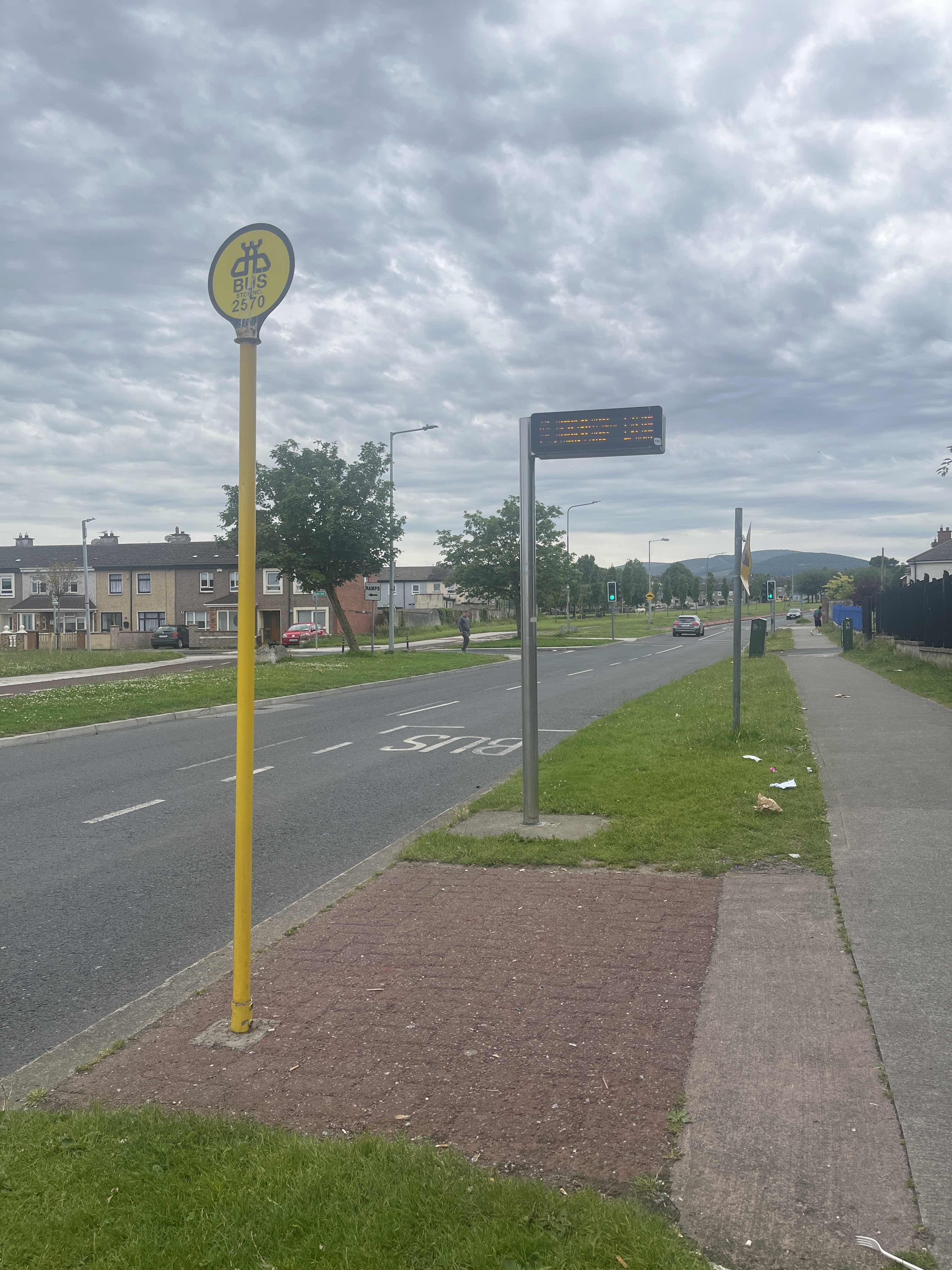
Health Care Centre station
 Taken by Anonymous
See Health Care Centre stop, Tallaght, on the map
Public transit to Health Care Centre stop (ID: 2570) in Tallaght
Looking for directions to Health Care Centre in Tallaght, Ireland?
Download the Moovit App to find the current schedule and step-by-step directions for Bus, Light Rail or Train routes that pass through Health Care Centre.
Looking for the nearest stops closest to Health Care Centre ? Check out this list of closest stops to your destination: Cushlawn Park; Killinarden Ep; Kiltipper Way; Tallaght.
Bus: 65B, 77A, 82, 77X, D'OLIER STREET - KILNAMANAGH, F1.
We make riding on public transit to Health Care Centre easy, which is why over 1.7 billion users, including users in Tallaght trust Moovit as the best app for public transit.
Use the app to navigate to popular places including to the airport, hospital, stadium, grocery store, mall, coffee shop, school, college, and university.
Health Care Centre stop’s code is 2570
The first line to this stop is 77A, at 6:14 AM, and the last line is 65B at 11:41 PM.
1 Cushlawn Park, Dublin, Ireland
This stop serves Bus Átha Cliath – Dublin Bus’s lines
- Cushlawn Park,
- Killinarden Ep,
- Kiltipper Way
Bus stops near Health Care Centre stop
- Tallaght
Light Rail station near Health Care Centre station
- Farran Park,
- Monivea Park,
- Tallaght Stadium,
- Walkinstown Ave,
- Collins Barracks,
- Harcourt Street,
- Deans Hall,
- Lucan Village,
- Woodlands Hotel,
- Alsaa Sports Club,
- Main St Lucan,
- Glin Road,
- Bloomfield Avenue,
- Beaumont Avenue,
- James's Street,
- Ranelagh Road,
- Clonshaugh East,
- Tallaght Hosp,
- Eden Quay,
- Burlington Road
Popular public transit stations in Tallaght
Get around Tallaght by public transit!
Traveling around Tallaght has never been so easy. See step by step directions as you travel to any attraction, street or major public transit station. View bus and train schedules, arrival times, service alerts and detailed routes on a map, so you know exactly how to get to anywhere in Tallaght.
When traveling to any destination around Tallaght use Moovit's Live Directions with Get Off Notifications to know exactly where and how far to walk, how long to wait for your line, and how many stops are left. Moovit will alert you when it's time to get off — no need to constantly re-check whether yours is the next stop.
Wondering how to use public transit in Tallaght or how to pay for public transit in Tallaght? Moovit public transit app can help you navigate your way with public transit easily, and at minimum cost. It includes public transit fees, ticket prices, and costs. Looking for a map of Tallaght public transit lines? Moovit public transit app shows all public transit maps in Tallaght with all Bus, Train and Light Rail routes and stops on an interactive map.
Ireland has 3 transit type(s), including: Bus, Train and Light Rail, operated by several transit agencies, including Luas, Bus Átha Cliath – Dublin Bus, Bus Éireann, Go-Ahead Ireland, Nitelink, Dublin Bus, Citylink, City Direct, Kenneally's Bus Service, Aircoach, TFI Local Link Mayo, Irish Rail, Express Bus, JJ/Bernard Kavanagh, Dublin Coach and Kearns Transport