How to get to Health Systems by bus?
Click on the bus route to see step by step directions with maps, line arrival times and updated time schedules.
From Dulles Expo Center, Fairfax County
68 minFrom Chantilly, VA, Fairfax County
44 minFrom Hollywood Casino at Charles Town Races, Fairfax County
55 minFrom Northern Virginia Community College - Loudoun Campus, Loudoun County
30 minFrom King Spa, Loudoun County
179 minFrom Fair Oaks Mall, Fairfax County
63 minFrom Inova Fair Oaks Hospital, Fairfax County
49 minFrom Ashby Ponds, Loudoun County
72 minFrom Oakton, Virginia, Fairfax County
97 minFrom Dulles Discovery, Fairfax County
48 min
Bus stops near Health Systems in Fairfax County
Metro station near Health Systems in Fairfax County
- Reston Town Center, 40 min walk,VIEW
Bus lines to Health Systems in Fairfax County
What are the closest stations to Health Systems?
The closest stations to Health Systems are:
- 360 Herndon Pkwy is 107 yards away, 2 min walk.
- 209 Elden St is 492 yards away, 7 min walk.
- Post Dr @ Elden St is 606 yards away, 8 min walk.
- Reston Town Center is 3377 yards away, 40 min walk.
Which bus lines stop near Health Systems?
These bus lines stop near Health Systems: 605, 924, RIBS5.
Which metro line stops near Health Systems?
SILVER (Ashburn)
What’s the nearest bus station to Health Systems in Fairfax County?
The nearest bus station to Health Systems in Fairfax County is 360 Herndon Pkwy. It’s a 2 min walk away.
What time is the first metro to Health Systems in Fairfax County?
The SILVER is the first metro that goes to Health Systems in Fairfax County. It stops nearby at 5:00 AM.
What time is the last metro to Health Systems in Fairfax County?
The SILVER is the last metro that goes to Health Systems in Fairfax County. It stops nearby at 12:55 AM.
What time is the first bus to Health Systems in Fairfax County?
The 950 is the first bus that goes to Health Systems in Fairfax County. It stops nearby at 4:17 AM.
What time is the last bus to Health Systems in Fairfax County?
The 950 is the last bus that goes to Health Systems in Fairfax County. It stops nearby at 1:18 AM.
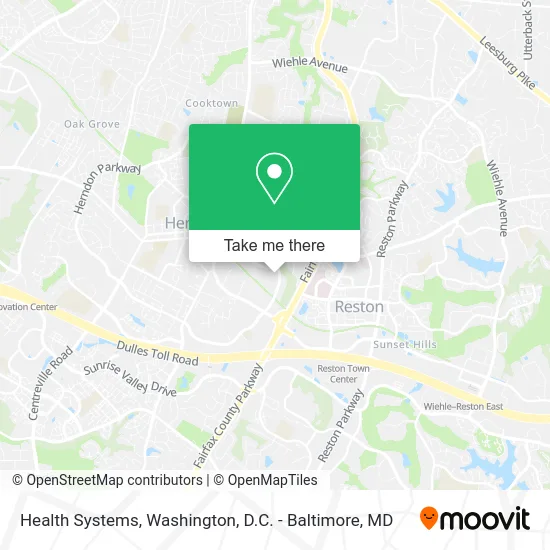
See Health Systems, Fairfax County, on the map
Public Transit to Health Systems in Fairfax County
Wondering how to get to Health Systems in Fairfax County? Moovit helps you find the best way to get to Health Systems with step-by-step directions from the nearest public transit station.
Moovit provides free maps and live directions to help you navigate through your city. View schedules, routes, timetables, and find out how long does it take to get to Health Systems in real time.
Looking for the nearest stop or station to Health Systems? Check out this list of stops closest to your destination: 360 Herndon Pkwy; 209 Elden St; Post Dr @ Elden St; Reston Town Center.
Bus: 605, 924, RIBS5, 552, 950, 921.Metro: SILVER.
Want to see if there’s another route that gets you there at an earlier time? Moovit helps you find alternative routes or times. Get directions from and directions to Health Systems easily from the Moovit App or Website.
We make riding to Health Systems easy, which is why over 1.5 million users, including users in Fairfax County, trust Moovit as the best app for public transit. You don’t need to download an individual bus app or train app, Moovit is your all-in-one transit app that helps you find the best bus time or train time available.
For information on prices of bus and metro, costs and ride fares to Health Systems, please check the Moovit app.
Use the app to navigate to popular places including to the airport, hospital, stadium, grocery store, mall, coffee shop, school, college, and university.
Health Systems Address: 360 Herndon Pkwy Herndon, VA 20170 street in Fairfax County
- Rhein Tech Laboratories, Inc. (RTL),
- Windstream Communications,
- Xue Juan Dance Ensemble,
- Bridgeport / Fairfield County Operations,
- Repfit,
- Latin XD,
- NRP,
- Douglas Roofing,
- Horizon Data,
- Tea Tree Massage Spa,
- Kingdom Living Ekklesia,
- Mammoth Office Furniture Liquidators,
- Fsi,
- Washington DC Metropolitan Area,
- Carlisle Carpet Care,
- Lynxtech Group,
- My Skin Care 007,
- Elden Dental Care,
- Castro Travel,
- Patriot Mortgage
Places Near Health Systems (Fairfax County)
- Westfield Montgomery Mall, Montgomery County,
- Camden Yards, Baltimore,
- Rock Creek Tennis Center, Washington,
- Museum Of The Bible, Washington,
- Washington National Cathedral, Washington,
- Georgetown, Washington,
- Basilica of the National Shrine, Washington,
- National Museum of African American History and Culture, Washington,
- Sibley Memorial Hospital, Washington,
- PG Mall, Prince George's County,
- M&T Bank Stadium, Baltimore,
- Washington DC VA Medical Center, Washington,
- Amazon Hq2, Arlington County,
- National Theatre, Washington,
- Warner Theatre, Washington,
- Capital One Arena, Washington,
- National Zoo, Washington,
- The Anthem, Washington,
- Pennsylvania Ave NW (3rd st and pennsylvania), Washington,
- Marriott Marquis Washington, DC, Washington
How to get to popular places in Washington, D.C. - Baltimore, MD with public transit
Get around Fairfax County by public transit!
Traveling around Fairfax County has never been so easy. See step by step directions as you travel to any attraction, street or major public transit station. View bus and train schedules, arrival times, service alerts and detailed routes on a map, so you know exactly how to get to anywhere in Fairfax County.
When traveling to any destination around Fairfax County use Moovit's Live Directions with Get Off Notifications to know exactly where and how far to walk, how long to wait for your line, and how many stops are left. Moovit will alert you when it's time to get off — no need to constantly re-check whether yours is the next stop.
Wondering how to use public transit in Fairfax County or how to pay for public transit in Fairfax County? Moovit public transit app can help you navigate your way with public transit easily, and at minimum cost. It includes public transit fees, ticket prices, and costs. Looking for a map of Fairfax County public transit lines? Moovit public transit app shows all public transit maps in Fairfax County with all Bus, Train, Metro, Light Rail and Ferry routes and stops on an interactive map.
Washington, D.C. - Baltimore, MD has 5 transit type(s), including: Bus, Train, Metro, Light Rail and Ferry, operated by several transit agencies, including WMATA, Montgomery County Ride On, Fairfax Connector, TheBus, PRTC, DASH - Alexandria, Arlington Transit (ART), RTA of Central Maryland, MDOT MTA, MDOT MTA Light RailLink, MDOT MTA Commuter Bus, MDOT MTA Local Bus, FXBGO!, Virginia Railway Express (VRE) and MARC