How to get to Healthy Kitchen by bus?
Click on the bus route to see step by step directions with maps, line arrival times and updated time schedules.
From St. Thomas Aquinas High School, Fort Lauderdale
54 minFrom Florida Turnpike Sunrise Blvd. Toll Plaza, Plantation
50 minFrom Park & Ride-Broward Blvd & I-95, Fort Lauderdale
51 minFrom The Red Light District, Fort Lauderdale
57 minFrom Fort Lauderdale Amtrak Station, Fort Lauderdale
50 minFrom Cam Transfer, Coral Springs-Margate
56 minFrom Broward Blvd Tri-Rail Station, Fort Lauderdale
54 minFrom Westfield Broward Mall, Plantation
34 minFrom Tri-Rail-Fort Lauderdale Station, Fort Lauderdale
52 minFrom Amerant Bank Arena, Plantation
37 min
Bus stops near Healthy Kitchen in Plantation
Bus lines to Healthy Kitchen in Plantation
What are the closest stations to Healthy Kitchen?
The closest stations to Healthy Kitchen are:
- University Drive/Springtree Drive is 184 yards away, 3 min walk.
- Oakland Park Boulevard & University Drive is 588 yards away, 8 min walk.
Which bus lines stop near Healthy Kitchen?
These bus lines stop near Healthy Kitchen: 02, 72.
What’s the nearest bus station to Healthy Kitchen in Plantation?
The nearest bus station to Healthy Kitchen in Plantation is University Drive/Springtree Drive. It’s a 3 min walk away.
What time is the first bus to Healthy Kitchen in Plantation?
The 72 is the first bus that goes to Healthy Kitchen in Plantation. It stops nearby at 4:44 AM.
What time is the last bus to Healthy Kitchen in Plantation?
The 02 is the last bus that goes to Healthy Kitchen in Plantation. It stops nearby at 1:07 AM.
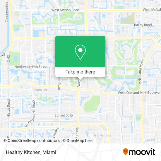
See Healthy Kitchen, Plantation, on the map
Public Transit to Healthy Kitchen in Plantation
Wondering how to get to Healthy Kitchen in Plantation? Moovit helps you find the best way to get to Healthy Kitchen with step-by-step directions from the nearest public transit station.
Moovit provides free maps and live directions to help you navigate through your city. View schedules, routes, timetables, and find out how long does it take to get to Healthy Kitchen in real time.
Looking for the nearest stop or station to Healthy Kitchen? Check out this list of stops closest to your destination: University Drive/Springtree Drive; Oakland Park Boulevard & University Drive.
Bus: 02, 72.
Want to see if there’s another route that gets you there at an earlier time? Moovit helps you find alternative routes or times. Get directions from and directions to Healthy Kitchen easily from the Moovit App or Website.
We make riding to Healthy Kitchen easy, which is why over 1.5 million users, including users in Plantation, trust Moovit as the best app for public transit. You don’t need to download an individual bus app or train app, Moovit is your all-in-one transit app that helps you find the best bus time or train time available.
For information on prices of bus, costs and ride fares to Healthy Kitchen, please check the Moovit app.
Use the app to navigate to popular places including to the airport, hospital, stadium, grocery store, mall, coffee shop, school, college, and university.
Healthy Kitchen Address: 3834 N University Dr Fort Lauderdale, FL 33065 street in Plantation
- Real Life Studio,
- Kid's Haven Academy,
- Harmony Development Center,
- Edwin L. Crammer P.A.,
- Fonda Tipico Restaurant,
- Pita Pita,
- First Response Urgent Care Center,
- Burnt Leaf Lounge,
- Fort Lauderdale Mercurial Auto Glass,
- James R Milne,
- LS Rosarios Boutique,
- The Changing Ministry - TCM Church,
- JD's Bar and Grill,
- Authentic Haitian American Family Cuisine-Super Family Daylight2,
- G2 Service Express,
- Fins & Things Caribbean Seafood,
- Wireless Connections Group,
- HOOTERS,
- Smoothie Express Cafe,
- USPS Collection Box - Blue Box
Places Near Healthy Kitchen (Plantation)
- Brickell City Centre, Miami,
- Miami-Dade County Courthouse, Miami,
- Marlins Park, Miami,
- Bayside Marketplace, Miami,
- Dolphin Mall, Miami,
- Dolphin Mall Bus, Miami,
- Miami Freedom Park, Miami,
- Aventura Mall, Miami Beach,
- Wynwood, Miami,
- Richard E. Gerstein Justice Building, Miami,
- Hard Rock Stadium, Miami Gardens,
- Keiser University Flagship Campus, West Palm Beach,
- Aventura Mall, Miami,
- Sawgrass Mall, Miami,
- Port of Miami Cruise Terminal, Miami,
- Miami VA Hospital, Miami,
- Zoo Miami, Miami,
- Little Havana, Miami,
- Sawgrass mall ( FL ), Miami Beach,
- Miami Design District, Miami
How to get to popular places in Miami with public transit
Get around Plantation by public transit!
Traveling around Plantation has never been so easy. See step by step directions as you travel to any attraction, street or major public transit station. View bus and train schedules, arrival times, service alerts and detailed routes on a map, so you know exactly how to get to anywhere in Plantation.
When traveling to any destination around Plantation use Moovit's Live Directions with Get Off Notifications to know exactly where and how far to walk, how long to wait for your line, and how many stops are left. Moovit will alert you when it's time to get off — no need to constantly re-check whether yours is the next stop.
Wondering how to use public transit in Plantation or how to pay for public transit in Plantation? Moovit public transit app can help you navigate your way with public transit easily, and at minimum cost. It includes public transit fees, ticket prices, and costs. Looking for a map of Plantation public transit lines? Moovit public transit app shows all public transit maps in Plantation with all Bus, Train, Light Rail and Ferry routes and stops on an interactive map.
Miami has 4 transit type(s), including: Bus, Train, Light Rail and Ferry, operated by several transit agencies, including Broward County Transit, Miami-Dade Transit, Metrorail, Palm Tran, Tri-Rail, Brightline, MARTY, City of Homestead Trolley, Key West Transit, Treasure Coast Connector, GoLine IRT, Amtrak, Greyhound-us, FlixBus-us and Aventura Express Shuttle Bus