How to get to Heat Express by bus?
Click on the bus route to see step by step directions with maps, line arrival times and updated time schedules.
From UM Hospital, Miami
43 minFrom NW 23rd St / NW 21st Ave, Miami
28 minFrom Consulate General of the Federal Republic of Germany, Miami
71 minFrom Ministerio Internacional El Rey Jesus, Miami
40 minFrom Avenida Eva Peron, Miami
72 minFrom Bayfront Park Miami, Miami
72 minFrom Miami Dade College Hialeah Campus, Hialeah
46 minFrom NW 7th St / NW 57th Ave, Miami
66 minFrom Seybold Building, Miami
73 minFrom Magic City Casino, Miami
55 min
How to get to Heat Express by train?
Click on the train route to see step by step directions with maps, line arrival times and updated time schedules.
Bus stops near Heat Express in Miami
Train stations near Heat Express in Miami
Bus lines to Heat Express in Miami
What are the closest stations to Heat Express?
The closest stations to Heat Express are:
- Nw 22 Av & Nw 87 St is 215 yards away, 3 min walk.
- Nw 27 Av & Nw 88 St is 721 yards away, 9 min walk.
- Metrorail Transfer Station is 1616 yards away, 19 min walk.
- Tri-Rail/Metrorail Transfer Station is 1617 yards away, 19 min walk.
- Miami Amtrak Station is 2322 yards away, 27 min walk.
Which bus lines stop near Heat Express?
These bus lines stop near Heat Express: 21, 22, 79.
Which train line stops near Heat Express?
GREEN (Dadeland South Stat.rail Northbound→Palmetto Station Rail Northbound)
What’s the nearest train station to Heat Express in Miami?
The nearest train stations to Heat Express in Miami are Metrorail Transfer Station and Tri-Rail/Metrorail Transfer Station. The closest one is a 19 min walk away.
What’s the nearest bus station to Heat Express in Miami?
The nearest bus station to Heat Express in Miami is Nw 22 Av & Nw 87 St. It’s a 3 min walk away.
What time is the first train to Heat Express in Miami?
The TRIRAIL is the first train that goes to Heat Express in Miami. It stops nearby at 3:56 AM.
What time is the last train to Heat Express in Miami?
The FLORIDIAN is the last train that goes to Heat Express in Miami. It stops nearby at 5:48 PM.
What time is the first bus to Heat Express in Miami?
The 27 is the first bus that goes to Heat Express in Miami. It stops nearby at 3:10 AM.
What time is the last bus to Heat Express in Miami?
The 27 is the last bus that goes to Heat Express in Miami. It stops nearby at 3:12 AM.
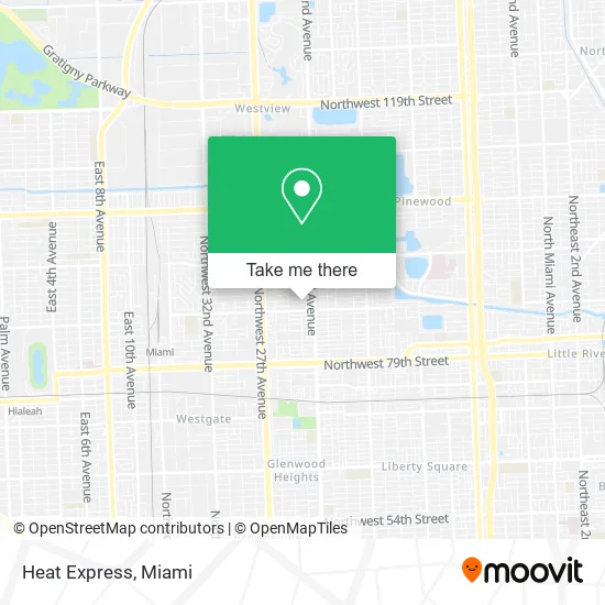
See Heat Express, Miami, on the map
Public Transit to Heat Express in Miami
Wondering how to get to Heat Express in Miami? Moovit helps you find the best way to get to Heat Express with step-by-step directions from the nearest public transit station.
Moovit provides free maps and live directions to help you navigate through your city. View schedules, routes, timetables, and find out how long does it take to get to Heat Express in real time.
Looking for the nearest stop or station to Heat Express? Check out this list of stops closest to your destination: Nw 22 Av & Nw 87 St; Nw 27 Av & Nw 88 St; Metrorail Transfer Station; Tri-Rail/Metrorail Transfer Station; Miami Amtrak Station.
Bus: 21, 22, 79, 401, 27.Train: GREEN, TRIRAIL, TRIRAIL, FLORIDIAN, SILVER METEOR.
Want to see if there’s another route that gets you there at an earlier time? Moovit helps you find alternative routes or times. Get directions from and directions to Heat Express easily from the Moovit App or Website.
We make riding to Heat Express easy, which is why over 1.5 million users, including users in Miami, trust Moovit as the best app for public transit. You don’t need to download an individual bus app or train app, Moovit is your all-in-one transit app that helps you find the best bus time or train time available.
For information on prices of bus and train, costs and ride fares to Heat Express, please check the Moovit app.
Use the app to navigate to popular places including to the airport, hospital, stadium, grocery store, mall, coffee shop, school, college, and university.
Heat Express Address: 8811 NW 23rd Ave Miami, FL 33147 street in Miami
- Medicare Insurance Advisors West Little River,
- Bread of Life Worship Center,
- West Little River,
- Anointed Worship Outreach Ministries,
- TLC Food Truck,
- It's A Small World Learning VII,
- Jbaby Barbecue,
- Fmle Tax & Financial Solutions,
- Huckabuck Car Wash (Huck-A-Buck&Son's Car Care),
- 2166 NW 92nd St,
- Keziah Notary Service,
- Marroquin Landscaping,
- Deras Roofing & Remodelacio,
- Onix Construction Group,
- JC Matos Concrete,
- Snatched Dolls Transportation,
- Isaul's Phone Repair Spot,
- J's Stoppages Doctor,
- Frank's Kitchen Cabinet Installation,
- Fernandos Fantastic Handyman Services
Places Near Heat Express (Miami)
- Dolphin Mall, Miami,
- Miami-Dade County Courthouse, Miami,
- Wynwood, Miami,
- Miami Design District, Miami,
- Aventura Mall, Miami,
- Keiser University Flagship Campus, West Palm Beach,
- Aventura Mall, Miami Beach,
- Miami Freedom Park, Miami,
- Sawgrass mall ( FL ), Miami Beach,
- Miami VA Hospital, Miami,
- Hard Rock Stadium, Miami Gardens,
- Richard E. Gerstein Justice Building, Miami,
- Brickell City Centre, Miami,
- Bayside Marketplace, Miami,
- Marlins Park, Miami,
- Sawgrass Mall, Miami,
- Port of Miami Cruise Terminal, Miami,
- Little Havana, Miami,
- Zoo Miami, Miami,
- Dolphin Mall Bus, Miami
How to get to popular places in Miami with public transit
Get around Miami by public transit!
Traveling around Miami has never been so easy. See step by step directions as you travel to any attraction, street or major public transit station. View bus and train schedules, arrival times, service alerts and detailed routes on a map, so you know exactly how to get to anywhere in Miami.
When traveling to any destination around Miami use Moovit's Live Directions with Get Off Notifications to know exactly where and how far to walk, how long to wait for your line, and how many stops are left. Moovit will alert you when it's time to get off — no need to constantly re-check whether yours is the next stop.
Wondering how to use public transit in Miami or how to pay for public transit in Miami? Moovit public transit app can help you navigate your way with public transit easily, and at minimum cost. It includes public transit fees, ticket prices, and costs. Looking for a map of Miami public transit lines? Moovit public transit app shows all public transit maps in Miami with all Bus, Train, Light Rail and Ferry routes and stops on an interactive map.
Miami has 4 transit type(s), including: Bus, Train, Light Rail and Ferry, operated by several transit agencies, including Broward County Transit, Miami-Dade Transit, Metrorail, Palm Tran, Tri-Rail, Brightline, MARTY, City of Homestead Trolley, Key West Transit, Treasure Coast Connector, GoLine IRT, Amtrak, Greyhound-us, FlixBus-us and Aventura Express Shuttle Bus