How to get to Helados Dialy by bus?
Click on the bus route to see step by step directions with maps, line arrival times and updated time schedules.
From Fracc. Campestre La Herradura, Aguascalientes
47 minFrom Imeco, Aguascalientes
60 minFrom Nissan Planta Powertrain, Aguascalientes
51 minFrom Emiliano Zapata, Aguascalientes
28 minFrom Fraccionamiento "El Reencuentro", Aguascalientes
47 minFrom Parque Industrial Siglo XXI, Aguascalientes
52 minFrom Villa de Nuestra Señora de La Asunción, Aguascalientes
32 minFrom Aeropuerto de Aguascalientes S.A. de C.V., Aguascalientes
52 minFrom Ejido la Guayana, Aguascalientes
68 minFrom Fraccionamiento Camino Real, Aguascalientes
37 min
Bus stops near Helados Dialy in Aguascalientes
- General Álvaro Obregón, 540, 3 min walk,VIEW
- Doctor Gerónimo De Orozco, 615, 4 min walk,VIEW
- General Miguel Barragán, 704, 4 min walk,VIEW
- Avenida Héroe De Nacozari, 1116a, 5 min walk,VIEW
- Calle Privada Norberto Gómez Hornedo, 508, 6 min walk,VIEW
- General Miguel Barragán, 920, 6 min walk,VIEW
- General Álvaro Obregón, 460, 7 min walk,VIEW
- Nuevo Hospital Hidalgo, 8 min walk,VIEW
Bus lines to Helados Dialy in Aguascalientes
- RUTA 27, Vicente Guerrero,VIEW
- RUTA 36, Centro (Mercado Terán),VIEW
- RUTA 02, Los Cactus,VIEW
- RUTA 03, Uaa Sur,VIEW
- RUTA 37, Hacienda San Marcos,VIEW
- RUTA 18, Uaa,VIEW
- RUTA 08, Utma,VIEW
- RUTA 47, Clínica 10,VIEW
- RUTA 43, San Antonio,VIEW
- RUTA 43, San Antonio Via Lomas De New York,VIEW
- RUTA 46, Vicente Guerrero,VIEW
- RUTA 51, Puertecito De La Virgen,VIEW
What are the closest stations to Helados Dialy?
The closest stations to Helados Dialy are:
- General Álvaro Obregón, 540 is 211 meters away, 3 min walk.
- Doctor Gerónimo De Orozco, 615 is 236 meters away, 4 min walk.
- General Miguel Barragán, 704 is 282 meters away, 4 min walk.
- Avenida Héroe De Nacozari, 1116a is 312 meters away, 5 min walk.
- Calle Privada Norberto Gómez Hornedo, 508 is 425 meters away, 6 min walk.
- General Miguel Barragán, 920 is 440 meters away, 6 min walk.
- General Álvaro Obregón, 460 is 484 meters away, 7 min walk.
- Nuevo Hospital Hidalgo is 552 meters away, 8 min walk.
Which bus lines stop near Helados Dialy?
These bus lines stop near Helados Dialy: RUTA 02, RUTA 11, RUTA 18, RUTA 36, RUTA 37.
What’s the nearest bus station to Helados Dialy in Aguascalientes?
The nearest bus station to Helados Dialy in Aguascalientes is General Álvaro Obregón, 540. It’s a 3 min walk away.
What time is the first bus to Helados Dialy in Aguascalientes?
The RUTA 08 is the first bus that goes to Helados Dialy in Aguascalientes. It stops nearby at 6:13 AM.
What time is the last bus to Helados Dialy in Aguascalientes?
The RUTA 02 is the last bus that goes to Helados Dialy in Aguascalientes. It stops nearby at 10:29 PM.
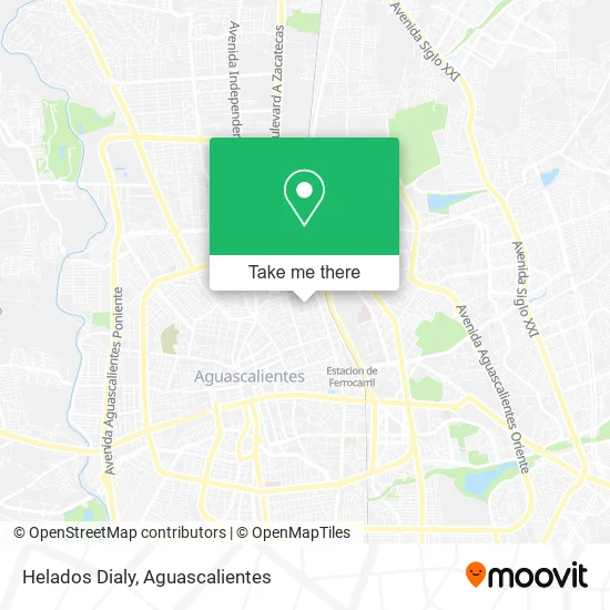
See Helados Dialy, Aguascalientes, on the map
Public Transit to Helados Dialy in Aguascalientes
Wondering how to get to Helados Dialy in Aguascalientes? Moovit helps you find the best way to get to Helados Dialy with step-by-step directions from the nearest public transit station.
Moovit provides free maps and live directions to help you navigate through your city. View schedules, routes, timetables, and find out how long does it take to get to Helados Dialy in real time.
Looking for the nearest stop or station to Helados Dialy? Check out this list of stops closest to your destination: General Álvaro Obregón; Doctor Gerónimo De Orozco; General Miguel Barragán; Avenida Héroe De Nacozari; Calle Privada Norberto Gómez Hornedo; General Miguel Barragán; General Álvaro Obregón; Nuevo Hospital Hidalgo.
Bus: RUTA 02, RUTA 11, RUTA 18, RUTA 36, RUTA 37, RUTA 27, RUTA 03, RUTA 08, RUTA 47.
Want to see if there’s another route that gets you there at an earlier time? Moovit helps you find alternative routes or times. Get directions from and directions to Helados Dialy easily from the Moovit App or Website.
We make riding to Helados Dialy easy, which is why over 1.5 million users, including users in Aguascalientes, trust Moovit as the best app for public transit. You don’t need to download an individual bus app or train app, Moovit is your all-in-one transit app that helps you find the best bus time or train time available.
For information on prices of bus, costs and ride fares to Helados Dialy, please check the Moovit app.
Use the app to navigate to popular places including to the airport, hospital, stadium, grocery store, mall, coffee shop, school, college, and university.
Helados Dialy Address: Calle Coronel Jesús Macías, Gremial, 20030 Aguascalientes, Aguascalientes street in Aguascalientes
- Escuela Sofia Suarez del Real,
- Escuela Kinder Baby's House,
- Grupo Comercial Commars,
- Bar Mingo,
- Agencia de Viajes Magioshuas Tour,
- Vidrios Don Trino,
- Consugraphics,
- El Rincon Del Pay,
- Birria y Menudo Los Romo,
- Finca de la 20,
- Grupo Comercial Valmac,
- Mercibeaucoup,
- Anahata Estudio de Danza y Yoga,
- Super Chino,
- Anesca,
- Asociación Prof de Baloncesto,
- Instituto De Educacion De Aguascalientes,
- Doctor Isidro Calera 528, Centro, Gremial, 20000,
- Tacos Vic,
- Cancha de Baloncesto ANESCA
Places Near Helados Dialy (Aguascalientes)
- Villas de Nuestra Señora de la Asunción, Aguascalientes,
- Imss Clinica 1, Aguascalientes,
- Central De Autobuses, Aguascalientes,
- Nuevo Hospital Hidalgo, Aguascalientes,
- Isla San Marcos, Aguascalientes,
- Centro Comercial Altaria, Aguascalientes,
- Centro, Aguascalientes,
- Terminal De Combis, Aguascalientes,
- Hospital Imss No. 3, Aguascalientes,
- Parque Las Tres Centurias, Aguascalientes,
- Agropecuario, Aguascalientes,
- clinica 3 uaa, Aguascalientes,
- ESPACIOS, Aguascalientes,
- Aeropuerto de Aguascalientes S.A. de C.V., Aguascalientes,
- Blvd. Luis Donaldo Colosio, Aguascalientes,
- La Isla San Marcos, Aguascalientes,
- Jesús María, Aguascalientes,
- Villasuncion, Aguascalientes,
- Universidad Autónoma de Aguascalientes, Aguascalientes,
- Ciudad industrial, Aguascalientes
How to get to popular places in Aguascalientes with public transit
Get around Aguascalientes by public transit!
Traveling around Aguascalientes has never been so easy. See step by step directions as you travel to any attraction, street or major public transit station. View bus and train schedules, arrival times, service alerts and detailed routes on a map, so you know exactly how to get to anywhere in Aguascalientes.
When traveling to any destination around Aguascalientes use Moovit's Live Directions with Get Off Notifications to know exactly where and how far to walk, how long to wait for your line, and how many stops are left. Moovit will alert you when it's time to get off — no need to constantly re-check whether yours is the next stop.
Wondering how to use public transit in Aguascalientes or how to pay for public transit in Aguascalientes? Moovit public transit app can help you navigate your way with public transit easily, and at minimum cost. It includes public transit fees, ticket prices, and costs. Looking for a map of Aguascalientes public transit lines? Moovit public transit app shows all public transit maps in Aguascalientes with all bus routes and stops on an interactive map.
Aguascalientes has 1 transit type(s), including: bus, operated by several transit agencies, including Coordinación General de Movilidad