How to get to High End by bus?
Click on the bus route to see step by step directions with maps, line arrival times and updated time schedules.
From Baltimore Arena, Baltimore
45 minFrom Walmart, Baltimore County
82 minFrom Johns Hopkins Mountcastle Auditorium, Baltimore
56 minFrom Hilton Baltimore, Baltimore
45 minFrom Pier Six Pavilion, Baltimore
61 minFrom Walmart Supercenter, Baltimore County
83 minFrom Horseshoe Casino Baltimore, Baltimore
56 minFrom Hopkins Plaza, Baltimore
48 minFrom Baltimore Soundstage, Baltimore
49 minFrom Baltimore Marriott Waterfront, Baltimore
59 min
How to get to High End by metro?
Click on the metro route to see step by step directions with maps, line arrival times and updated time schedules.
From Baltimore Soundstage, Baltimore
34 minFrom Baltimore Arena, Baltimore
33 minFrom Hilton Baltimore, Baltimore
36 minFrom Johns Hopkins Mountcastle Auditorium, Baltimore
40 minFrom Pier Six Pavilion, Baltimore
41 minFrom Hopkins Plaza, Baltimore
30 minFrom Baltimore Marriott Waterfront, Baltimore
41 min
Bus stops near High End in Baltimore
Metro station near High End in Baltimore
- Rogers Ave Metro, 11 min walk,VIEW
Light Rail stations near High End in Baltimore
- Cold Spring Lane, 61 min walk,VIEW
Bus lines to High End in Baltimore
What are the closest stations to High End?
The closest stations to High End are:
- Gwynn Oak Ave & Penhurst Ave FS Nb is 292 yards away, 4 min walk.
- Rogers Ave & Merceron Ave Nb is 357 yards away, 5 min walk.
- Wabash Ave & Rogers Ave Sb is 744 yards away, 10 min walk.
- Wabash Ave & Rogers Ave is 810 yards away, 10 min walk.
- Rogers Ave Metro is 862 yards away, 11 min walk.
- Cold Spring Lane is 5174 yards away, 61 min walk.
Which bus lines stop near High End?
These bus lines stop near High End: 34, 80, CITYLINK LIME.
Which metro line stops near High End?
METRO (Towards Owing Mills)
What’s the nearest metro station to High End in Baltimore?
The nearest metro station to High End in Baltimore is Rogers Ave Metro. It’s a 11 min walk away.
What’s the nearest bus station to High End in Baltimore?
The nearest bus station to High End in Baltimore is Gwynn Oak Ave & Penhurst Ave FS Nb. It’s a 4 min walk away.
What time is the first light rail to High End in Baltimore?
The LIGHT RAILLINK is the first light rail that goes to High End in Baltimore. It stops nearby at 4:28 AM.
What time is the last light rail to High End in Baltimore?
The LIGHT RAILLINK is the last light rail that goes to High End in Baltimore. It stops nearby at 12:45 AM.
What time is the first metro to High End in Baltimore?
The METRO is the first metro that goes to High End in Baltimore. It stops nearby at 3:45 AM.
What time is the last metro to High End in Baltimore?
The METRO is the last metro that goes to High End in Baltimore. It stops nearby at 12:23 AM.
What time is the first bus to High End in Baltimore?
The 31 is the first bus that goes to High End in Baltimore. It stops nearby at 3:50 AM.
What time is the last bus to High End in Baltimore?
The 31 is the last bus that goes to High End in Baltimore. It stops nearby at 2:02 AM.
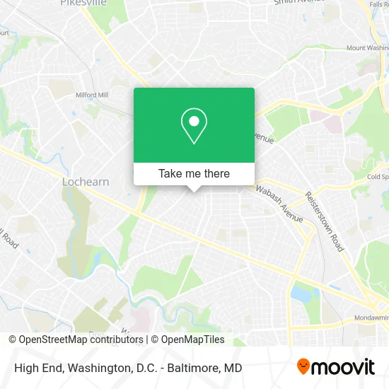
See High End, Baltimore, on the map
Public Transit to High End in Baltimore
Wondering how to get to High End in Baltimore? Moovit helps you find the best way to get to High End with step-by-step directions from the nearest public transit station.
Moovit provides free maps and live directions to help you navigate through your city. View schedules, routes, timetables, and find out how long does it take to get to High End in real time.
Looking for the nearest stop or station to High End? Check out this list of stops closest to your destination: Gwynn Oak Ave & Penhurst Ave FS Nb; Rogers Ave & Merceron Ave Nb; Wabash Ave & Rogers Ave Sb; Wabash Ave & Rogers Ave; Rogers Ave Metro; Cold Spring Lane.
Bus: 34, 80, CITYLINK LIME, 31, 82, 30, 89.Metro: METRO.
Want to see if there’s another route that gets you there at an earlier time? Moovit helps you find alternative routes or times. Get directions from and directions to High End easily from the Moovit App or Website.
We make riding to High End easy, which is why over 1.5 million users, including users in Baltimore, trust Moovit as the best app for public transit. You don’t need to download an individual bus app or train app, Moovit is your all-in-one transit app that helps you find the best bus time or train time available.
For information on prices of bus and metro, costs and ride fares to High End, please check the Moovit app.
Use the app to navigate to popular places including to the airport, hospital, stadium, grocery store, mall, coffee shop, school, college, and university.
High End Address: 4419 Belvieu Ave Baltimore, MD 21215 street in Baltimore
- Classic Masonry & Construction Company,
- Belvieu Ave Gwynn Ave,
- A Mother's Den,
- Woodbine Ave Post Rd,
- Aunt Shugs Assisted Living,
- Woman To Woman Int'l Ministries,
- Phenomenons,
- Mad Dawg Trucking,
- Prayer Changes Evrythng Associated Living,
- 4elements Notary & Business Services,
- Arlington II Non Profit Housing Corporation,
- USPS Collection Box - Blue Box,
- Adhering To the Father, Son,
- Hale Precious - CP Hale Innovation Estate,
- Rogers Post Apartments,
- Emmanuel Apostolic Faith Church,
- Mta Rogers Avenue Metro SUBWAY Station,
- Plaza Liquors,
- Masjid al-Ihsan,
- Liberty Outreach Center
Places Near High End (Baltimore)
- Marriott Marquis Washington, DC, Washington,
- PG Mall, Prince George's County,
- Sibley Memorial Hospital, Washington,
- Washington DC VA Medical Center, Washington,
- National Zoo, Washington,
- National Museum of African American History and Culture, Washington,
- Capital One Arena, Washington,
- Rock Creek Tennis Center, Washington,
- Westfield Montgomery Mall, Montgomery County,
- The Anthem, Washington,
- Basilica of the National Shrine, Washington,
- Washington National Cathedral, Washington,
- Amazon Hq2, Arlington County,
- Camden Yards, Baltimore,
- National Mall, Washington,
- M&T Bank Stadium, Baltimore,
- Georgetown, Washington,
- Pennsylvania Ave NW (3rd st and pennsylvania), Washington,
- Museum Of The Bible, Washington,
- Warner Theatre, Washington
How to get to popular places in Washington, D.C. - Baltimore, MD with public transit
Get around Baltimore by public transit!
Traveling around Baltimore has never been so easy. See step by step directions as you travel to any attraction, street or major public transit station. View bus and train schedules, arrival times, service alerts and detailed routes on a map, so you know exactly how to get to anywhere in Baltimore.
When traveling to any destination around Baltimore use Moovit's Live Directions with Get Off Notifications to know exactly where and how far to walk, how long to wait for your line, and how many stops are left. Moovit will alert you when it's time to get off — no need to constantly re-check whether yours is the next stop.
Wondering how to use public transit in Baltimore or how to pay for public transit in Baltimore? Moovit public transit app can help you navigate your way with public transit easily, and at minimum cost. It includes public transit fees, ticket prices, and costs. Looking for a map of Baltimore public transit lines? Moovit public transit app shows all public transit maps in Baltimore with all Bus, Train, Metro, Light Rail and Ferry routes and stops on an interactive map.
Washington, D.C. - Baltimore, MD has 5 transit type(s), including: Bus, Train, Metro, Light Rail and Ferry, operated by several transit agencies, including WMATA, Montgomery County Ride On, Fairfax Connector, TheBus, PRTC, DASH - Alexandria, Arlington Transit (ART), RTA of Central Maryland, MDOT MTA, MDOT MTA Light RailLink, MDOT MTA Commuter Bus, MDOT MTA Local Bus, FXBGO!, Virginia Railway Express (VRE) and MARC