How to get to High Speed Vision by bus?
Click on the bus route to see step by step directions with maps, line arrival times and updated time schedules.
From 75217, Birkenfeld
122 minFrom Epplesee, Rheinstetten
64 minFrom Schloss Neuenbürg, Verwaltungsgemeinschaft Neuenbürg
103 minFrom Karlsruher Straße, Pforzheim
88 minFrom POCO Einrichtungsmärkte, Pforzheim
88 minFrom Müller Fleisch, Birkenfeld
95 minFrom Arcus Kliniken Pforzheim, Pforzheim
96 minFrom Arcus Klinik, Pforzheim
96 minFrom Wallberg, Pforzheim
94 min
How to get to High Speed Vision by train?
Click on the train route to see step by step directions with maps, line arrival times and updated time schedules.
From Epplesee, Rheinstetten
50 minFrom Schloss Neuenbürg, Verwaltungsgemeinschaft Neuenbürg
102 minFrom Karlsruher Straße, Pforzheim
103 minFrom POCO Einrichtungsmärkte, Pforzheim
104 minFrom Müller Fleisch, Birkenfeld
87 minFrom Arcus Kliniken Pforzheim, Pforzheim
99 minFrom Arcus Klinik, Pforzheim
100 minFrom Wallberg, Pforzheim
98 min
Bus stop near High Speed Vision in Ettlingen
- Ettlingen Spinnerei, 3 min walk,VIEW
Train stations near High Speed Vision in Ettlingen
Bus lines to High Speed Vision in Ettlingen
What are the closest stations to High Speed Vision?
The closest stations to High Speed Vision are:
- Ettlingen Spinnerei is 175 meters away, 3 min walk.
- Busenbach is 1083 meters away, 15 min walk.
Which train lines stop near High Speed Vision?
These train lines stop near High Speed Vision: S1, S11.
Which bus lines stop near High Speed Vision?
These bus lines stop near High Speed Vision: 106, 107, 155.
What’s the nearest train station to High Speed Vision in Ettlingen?
The nearest train station to High Speed Vision in Ettlingen is Busenbach. It’s a 15 min walk away.
What’s the nearest bus station to High Speed Vision in Ettlingen?
The nearest bus station to High Speed Vision in Ettlingen is Ettlingen Spinnerei. It’s a 3 min walk away.
What time is the first light rail to High Speed Vision in Ettlingen?
The S11 is the first light rail that goes to High Speed Vision in Ettlingen. It stops nearby at 4:54 AM.
What time is the last light rail to High Speed Vision in Ettlingen?
The S11 is the last light rail that goes to High Speed Vision in Ettlingen. It stops nearby at 12:54 AM.
What time is the first train to High Speed Vision in Ettlingen?
The S11 is the first train that goes to High Speed Vision in Ettlingen. It stops nearby at 4:54 AM.
What time is the last train to High Speed Vision in Ettlingen?
The S11 is the last train that goes to High Speed Vision in Ettlingen. It stops nearby at 12:56 AM.
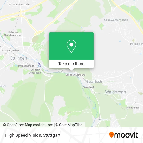
See High Speed Vision, Ettlingen, on the map
Public Transit to High Speed Vision in Ettlingen
Wondering how to get to High Speed Vision in Ettlingen? Moovit helps you find the best way to get to High Speed Vision with step-by-step directions from the nearest public transit station.
Moovit provides free maps and live directions to help you navigate through your city. View schedules, routes, timetables, and find out how long does it take to get to High Speed Vision in real time.
Looking for the nearest stop or station to High Speed Vision? Check out this list of stops closest to your destination: Ettlingen Spinnerei; Busenbach.
Train: S1, S11, FEX, S12, FEX, S12.Bus: 106, 107, 155, S1, S11.
Want to see if there’s another route that gets you there at an earlier time? Moovit helps you find alternative routes or times. Get directions from and directions to High Speed Vision easily from the Moovit App or Website.
We make riding to High Speed Vision easy, which is why over 1.5 million users, including users in Ettlingen, trust Moovit as the best app for public transit. You don’t need to download an individual bus app or train app, Moovit is your all-in-one transit app that helps you find the best bus time or train time available.
For information on prices of train, bus and light rail, costs and ride fares to High Speed Vision, please check the Moovit app.
Use the app to navigate to popular places including to the airport, hospital, stadium, grocery store, mall, coffee shop, school, college, and university.
High Speed Vision Address: Pforzheimer Straße 128 76275 Ettlingen street in Ettlingen
- Mgh Marketing und Handelsservice,
- Sparda-Bank Baden-Württemberg,
- Ammann Elba Beton,
- Netzreich,
- Fell Verliebt,
- TC Rw Hochstetten,
- Emovy,
- Owl Maschinenbau,
- Homechannel24,
- Bellino Coaching,
- Gbm Baugrundinstitut,
- Event App Partner,
- Snd-It Solutions,
- Ruff Capitalplan,
- Sidorenko,
- Moviver,
- Baréz + Schuster Ingenieur,
- Project Crowd Germany,
- Adrian Gebäudereinigung,
- Kleintierpraxis Spinnerei
Places Near High Speed Vision (Ettlingen)
- Mercedes-Benz Museum, Bad Cannstatt,
- Porsche Museum, Zuffenhausen,
- Marmorsaal Im Weissenburgpark, Stuttgart-Süd,
- Hanns-Martin-Schleyer-Halle (Stuttgart Hans-Martin-Schleyerhalle), Bad Cannstatt,
- Hanns-Martin-Schleyer-Halle, Bad Cannstatt,
- Pariser Platz Stuttgart, Stuttgart-Mitte,
- Gasometer Pforzheim, Pforzheim,
- Im Wizemann (Halle), Bad Cannstatt,
- Mercedes-Benz Museum (Mercedes Museum Stuttgart), Bad Cannstatt,
- Mettingen Eros-Center Puff Laufhaus, Esslingen Am Neckar,
- Geilhaus Haus 33a, Reutlingen-Betzingen,
- FlixBus Haltestelle, Stuttgart,
- Porsche-Arena, Bad Cannstatt,
- Hauptbahnhof Stuttgart, Stuttgart-Mitte,
- Gleis 101/102 (tief), Stuttgart-Mitte,
- Klinikum Stuttgart - Katharinenhospital, Stuttgart-Mitte,
- Schleyerhalle, Bad Cannstatt,
- Waldfriedhof, Degerloch,
- Wilhelma (U-Bahn Wilhelma), Bad Cannstatt,
- SI-Centrum, Möhringen
How to get to popular places in Stuttgart with public transit
Get around Ettlingen by public transit!
Traveling around Ettlingen has never been so easy. See step by step directions as you travel to any attraction, street or major public transit station. View bus and train schedules, arrival times, service alerts and detailed routes on a map, so you know exactly how to get to anywhere in Ettlingen.
When traveling to any destination around Ettlingen use Moovit's Live Directions with Get Off Notifications to know exactly where and how far to walk, how long to wait for your line, and how many stops are left. Moovit will alert you when it's time to get off — no need to constantly re-check whether yours is the next stop.
Wondering how to use public transit in Ettlingen or how to pay for public transit in Ettlingen? Moovit public transit app can help you navigate your way with public transit easily, and at minimum cost. It includes public transit fees, ticket prices, and costs. Looking for a map of Ettlingen public transit lines? Moovit public transit app shows all public transit maps in Ettlingen with all Bus, Train, Subway, Light Rail, Ferry, S-Bahn and Funicular routes and stops on an interactive map.
Stuttgart has 7 transit type(s), including: Bus, Train, Subway, Light Rail, Ferry, S-Bahn and Funicular, operated by several transit agencies, including SSB - Stadtbahn, SSB, SSB - Seilbahn / Zacke, S-Bahn Stuttgart, Rhein-Neckar-Verkehr GmbH (rnv), Karlsruher Verkehrsverbund, DB AG, DB Regiobus BW, Arverio Baden-Württemberg GmbH, DB RegioNetz Verkehrs GmbH Westfrankenbahn, DB Regio AG Baden-Württemberg, Südwestdeutsche Verkehrs-AG, DB Regio AG Mitte Region Hessen, DB and Bodensee-Oberschwaben-Bahn