Directions to High Tide Candy Co. (Accomack County) with public transportation
The following transit lines have routes that pass near High Tide Candy Co.
 Bus: SILVER, GREEN ROUTE, RED ROUTE.
How to get to High Tide Candy Co. by bus?
Click on the bus route to see step by step directions with maps, line arrival times and updated time schedules.
Bus stops near High Tide Candy Co. in Accomack County
Bus lines to High Tide Candy Co. in Accomack County
What are the closest stations to High Tide Candy Co.?
The closest stations to High Tide Candy Co. are:
- Chicken City Rd & Church St is 712 yards away, 9 min walk.
- Pony Centre is 1013 yards away, 12 min walk.
- Community Center is 1570 yards away, 19 min walk.
Which bus line stops near High Tide Candy Co.?
SILVER
What’s the nearest bus station to High Tide Candy Co. in Accomack County?
The nearest bus station to High Tide Candy Co. in Accomack County is Chicken City Rd & Church St. It’s a 9 min walk away.
What time is the first bus to High Tide Candy Co. in Accomack County?
The SILVER is the first bus that goes to High Tide Candy Co. in Accomack County. It stops nearby at 6:55 AM.
What time is the last bus to High Tide Candy Co. in Accomack County?
The GREEN ROUTE is the last bus that goes to High Tide Candy Co. in Accomack County. It stops nearby at 9:51 PM.
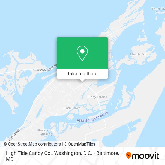
See High Tide Candy Co., Accomack County, on the map
Public Transit to High Tide Candy Co. in Accomack County
Wondering how to get to High Tide Candy Co. in Accomack County? Moovit helps you find the best way to get to High Tide Candy Co. with step-by-step directions from the nearest public transit station.
Moovit provides free maps and live directions to help you navigate through your city. View schedules, routes, timetables, and find out how long does it take to get to High Tide Candy Co. in real time.
Looking for the nearest stop or station to High Tide Candy Co.? Check out this list of stops closest to your destination: Chicken City Rd & Church St; Pony Centre; Community Center.
Bus: SILVER, GREEN ROUTE, RED ROUTE.
Want to see if there’s another route that gets you there at an earlier time? Moovit helps you find alternative routes or times. Get directions from and directions to High Tide Candy Co. easily from the Moovit App or Website.
We make riding to High Tide Candy Co. easy, which is why over 1.5 million users, including users in Accomack County, trust Moovit as the best app for public transit. You don’t need to download an individual bus app or train app, Moovit is your all-in-one transit app that helps you find the best bus time or train time available.
For information on prices of bus and train, costs and ride fares to High Tide Candy Co., please check the Moovit app.
Use the app to navigate to popular places including to the airport, hospital, stadium, grocery store, mall, coffee shop, school, college, and university.
High Tide Candy Co. Address: 6448 Maddox Blvd Chincoteague, VA 23336 street in Accomack County
- Brush Stoke,
- Island Time Resort Wear,
- Shawn Jennings, Realtor,
- Coastal Shore Vacations,
- McGoldrick Team of Long and Foster,
- Coldwell Banker Residential Brokerage,
- Shore Bank,
- Interstate Batteries,
- Dog E. Stylz of Chincoteague,
- Brame's Body and Soul Massage,
- Herbs and Artistry,
- WCTG,
- Discover Chincoteague,
- Coldwell Banker,
- Sandy Daisey, Realtor - Coldwell Banker,
- Hubbmuscle Personal Training & Nutrition Center,
- T-Shirt Factory of Chincoteague,
- Ledo Pizza Chincoteague, VA,
- Rustic and Rescued,
- Souvenir City
Places Near High Tide Candy Co. (Accomack County)
- M&T Bank Stadium, Baltimore,
- Museum Of The Bible, Washington,
- Camden Yards, Baltimore,
- National Theatre, Washington,
- Georgetown, Washington,
- Rock Creek Tennis Center, Washington,
- Westfield Montgomery Mall, Montgomery County,
- Capital One Arena, Washington,
- Marriott Marquis Washington, DC, Washington,
- Warner Theatre, Washington,
- Washington DC VA Medical Center, Washington,
- PG Mall, Prince George's County,
- National Museum of African American History and Culture, Washington,
- Washington National Cathedral, Washington,
- National Zoo, Washington,
- Basilica of the National Shrine, Washington,
- Amazon Hq2, Arlington County,
- Pennsylvania Ave NW (3rd st and pennsylvania), Washington,
- Sibley Memorial Hospital, Washington,
- The Anthem, Washington
How to get to popular places in Washington, D.C. - Baltimore, MD with public transit
Get around Accomack County by public transit!
Traveling around Accomack County has never been so easy. See step by step directions as you travel to any attraction, street or major public transit station. View bus and train schedules, arrival times, service alerts and detailed routes on a map, so you know exactly how to get to anywhere in Accomack County.
When traveling to any destination around Accomack County use Moovit's Live Directions with Get Off Notifications to know exactly where and how far to walk, how long to wait for your line, and how many stops are left. Moovit will alert you when it's time to get off — no need to constantly re-check whether yours is the next stop.
Wondering how to use public transit in Accomack County or how to pay for public transit in Accomack County? Moovit public transit app can help you navigate your way with public transit easily, and at minimum cost. It includes public transit fees, ticket prices, and costs. Looking for a map of Accomack County public transit lines? Moovit public transit app shows all public transit maps in Accomack County with all Bus, Train, Metro, Light Rail and Ferry routes and stops on an interactive map.
Washington, D.C. - Baltimore, MD has 5 transit type(s), including: Bus, Train, Metro, Light Rail and Ferry, operated by several transit agencies, including WMATA, Montgomery County Ride On, Fairfax Connector, TheBus, PRTC, DASH - Alexandria, Arlington Transit (ART), RTA of Central Maryland, MDOT MTA, MDOT MTA Light RailLink, MDOT MTA Commuter Bus, MDOT MTA Local Bus, FXBGO!, Virginia Railway Express (VRE) and MARC