Highfield Hospital stop - Friday schedule
| Line | Direction | Time |
|---|---|---|
| 41 | Swords Manor | 3:11 AM |
| 41 | Swords Manor | 3:42 AM |
| 41 | Swords Manor | 4:12 AM |
| 41 | Swords Manor | 4:42 AM |
| 41 | Swords Manor | 5:12 AM |
| 41 | Swords Manor | 5:45 AM |
| 41 | Swords Manor | 5:55 AM |
| 41 | Swords Manor | 6:05 AM |
| 33 | Balbriggan | 6:08 AM |
| 41 | Swords Manor | 6:25 AM |
| 16 | Dublin Airport | 6:27 AM |
| 41 | Swords Manor | 6:35 AM |
| 41B | Rolestown | 6:36 AM |
| 16 | Dublin Airport | 6:42 AM |
| 41 | Swords Manor | 6:49 AM |
| 1 | Shanard Road | 6:52 AM |
| 16 | Dublin Airport | 6:57 AM |
| 1 | Shanard Road | 7:04 AM |
| 41 | Swords Manor | 7:09 AM |
| 16 | Dublin Airport | 7:12 AM |
| 1 | Shanard Road | 7:16 AM |
| 41C | Swords Manor | 7:19 AM |
| 33E | Skerries | 7:19 AM |
| 1 | Shanard Road | 7:28 AM |
| 41 | Swords Manor | 7:29 AM |
Directions to Highfield Hospital stop (Dublin) with public transit
The following transit lines have routes that pass near Highfield Hospital
 Bus: 1, 16, 33, 41C, 44.
- Train: COMMUTER, RAIL, DART.
How to get to Highfield Hospital stop by bus?
Click on the bus route to see step by step directions with maps, line arrival times and updated time schedules.
How to get to Highfield Hospital stop by train?
Click on the train route to see step by step directions with maps, line arrival times and updated time schedules.
Bus stops near Highfield Hospital stop in Dublin
- Plunket College, 1 min walk,
- Iveragh Road, 3 min walk,
- Whitehall Cross, 5 min walk,
- Whitehall Garda Station, 6 min walk,
- Swords Road, 6 min walk,
- Drumcondra Rd, 7 min walk,
Train stations near Highfield Hospital station in Dublin
- Killester, 20 min walk,
- Drumcondra, 50 min walk,
Light Rail stations near Highfield Hospital station in Dublin
- Cabra, 58 min walk,
Bus lines to Highfield Hospital stop in Dublin
- 1, Shaw Street,
- 16, Ballinteer,
- 16D, Ballinteer,
- 33, Skerries,
- 41, Abbey St,
- 41B, Abbey St,
- 41C, Swords Manor,
- 41D, Swords Bus.Pk,
- 44, O'Connell Street,
- 33E, Skerries,
- 740, Airport Zone 14,
- 740A, Gorey Main St,
- 740X, Iveragh Road,
- WESTMORELAND STREET - BALBRIGGAN, Mourne View,
- 932, Anagaire,
- N4, Point Village,
- 101, Drogheda,
- 180, Clones Diamond,
- 980B, Carrickmacross,
- 847, Airport Zone 16,
What are the closest stations to Highfield Hospital?
The closest stations to Highfield Hospital are:
- Plunket College stop is 40 meters away, 1 min walk.
- Iveragh Road stop is 208 meters away, 3 min walk.
- Whitehall Cross stop is 388 meters away, 5 min walk.
- Whitehall Garda Station is 428 meters away, 6 min walk.
- Swords Road stop is 443 meters away, 6 min walk.
- Drumcondra Rd stop is 474 meters away, 7 min walk.
- Killester station is 1560 meters away, 20 min walk.
- Drumcondra station is 3936 meters away, 50 min walk.
- Cabra station is 4567 meters away, 58 min walk.
Which bus lines stop near Highfield Hospital?
These bus lines stop near Highfield Hospital: 1, 16, 33, 41C, 44, N4.
Which train lines stop near Highfield Hospital?
These train lines stop near Highfield Hospital: COMMUTER, RAIL.
What’s the nearest train station to Highfield Hospital in Dublin?
The nearest train station to Highfield Hospital in Dublin is Killester. It’s a 20 min walk away.
What’s the nearest bus station to Highfield Hospital in Dublin?
The nearest bus station to Highfield Hospital in Dublin is Plunket College. It’s a 1 min walk away.
What time is the first light rail to Highfield Hospital in Dublin?
The GREEN is the first light rail that goes to Highfield Hospital in Dublin. It stops nearby at 5:33 AM.
What time is the last light rail to Highfield Hospital in Dublin?
The GREEN is the last light rail that goes to Highfield Hospital in Dublin. It stops nearby at 12:59 AM.
What time is the first train to Highfield Hospital in Dublin?
The RAIL is the first train that goes to Highfield Hospital in Dublin. It stops nearby at 5:30 AM.
What time is the last train to Highfield Hospital in Dublin?
The DART is the last train that goes to Highfield Hospital in Dublin. It stops nearby at 12:15 AM.
What time is the first bus to Highfield Hospital in Dublin?
The 41 is the first bus that goes to Highfield Hospital in Dublin. It stops nearby at 3:04 AM.
What time is the last bus to Highfield Hospital in Dublin?
The N4 is the last bus that goes to Highfield Hospital in Dublin. It stops nearby at 3:21 AM.
Highfield Hospital station
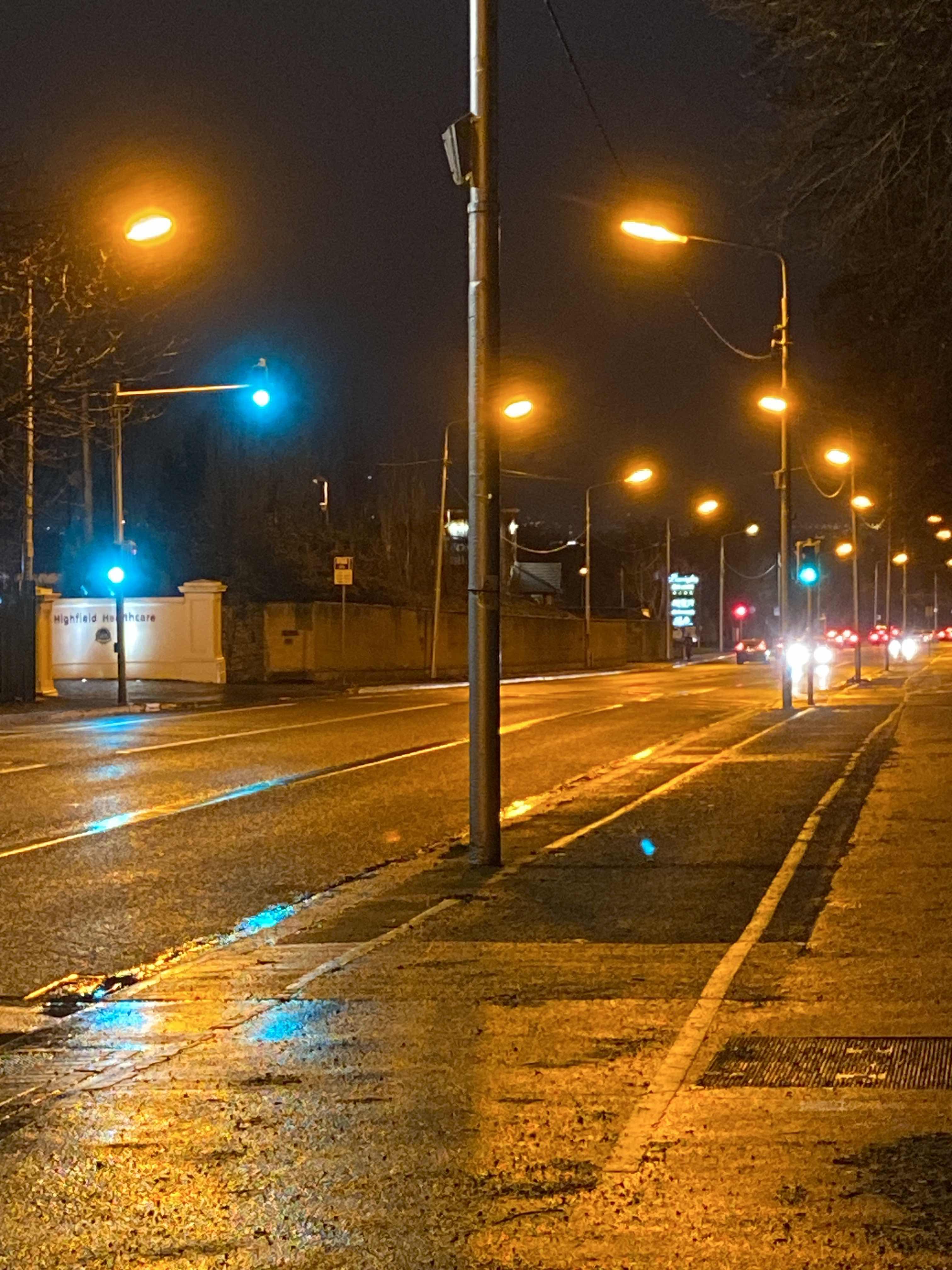 Taken by Anonymous
See Highfield Hospital stop, Dublin, on the map
Public transit to Highfield Hospital stop (ID: 204) in Dublin
Looking for directions to Highfield Hospital in Dublin, Ireland?
Download the Moovit App to find the current schedule and step-by-step directions for Bus, Train or Light Rail routes that pass through Highfield Hospital.
Looking for the nearest stops closest to Highfield Hospital ? Check out this list of closest stops to your destination: Plunket College; Iveragh Road; Whitehall Cross; Whitehall Garda Station; Swords Road; Drumcondra Rd; Killester; Drumcondra; Cabra.
Bus: 1, 16, 33, 41C, 44, N4, 16D, 41, 33E, 740, 740A, 740X, WESTMORELAND STREET - BALBRIGGAN, 932.Train: COMMUTER, RAIL, DART.
We make riding on public transit to Highfield Hospital easy, which is why over 1.7 billion users, including users in Dublin trust Moovit as the best app for public transit.
Use the app to navigate to popular places including to the airport, hospital, stadium, grocery store, mall, coffee shop, school, college, and university.
Highfield Hospital stop’s code is 204
The first line to this stop is 41, at 3:11 AM, and the last line is WESTMORELAND STREET - BALBRIGGAN at 2:42 AM.
This stop serves Bus Átha Cliath – Dublin Bus and Nitelink, Dublin Bus’s lines
- Plunket College,
- Iveragh Road,
- Whitehall Cross,
- Whitehall Garda Station,
- Swords Road,
- Drumcondra Rd
Bus stops near Highfield Hospital stop
- Killester,
- Drumcondra
Train stations near Highfield Hospital station
- Cabra
Light Rail station near Highfield Hospital station
- Ucc Western Gateway,
- Dcu Ballymun Road,
- St Corban's Place,
- St Joseph's Church,
- Glin Road,
- Brewery Road,
- Kimmage Road West,
- St Patrick's Street,
- John And Paul CH,
- St Joseph's Centre,
- Temple Bar, Wellington Quay,
- Lucan Village,
- Clare Street,
- Achill Road,
- Torcaill,
- Pearse Rd,
- Stillorgan Park,
- St Loman's Hospital,
- National Rehab Hosp,
- Northbrook Road
Popular public transit stations in Dublin
Get around Dublin by public transit!
Traveling around Dublin has never been so easy. See step by step directions as you travel to any attraction, street or major public transit station. View bus and train schedules, arrival times, service alerts and detailed routes on a map, so you know exactly how to get to anywhere in Dublin.
When traveling to any destination around Dublin use Moovit's Live Directions with Get Off Notifications to know exactly where and how far to walk, how long to wait for your line, and how many stops are left. Moovit will alert you when it's time to get off — no need to constantly re-check whether yours is the next stop.
Wondering how to use public transit in Dublin or how to pay for public transit in Dublin? Moovit public transit app can help you navigate your way with public transit easily, and at minimum cost. It includes public transit fees, ticket prices, and costs. Looking for a map of Dublin public transit lines? Moovit public transit app shows all public transit maps in Dublin with all Bus, Train and Light Rail routes and stops on an interactive map.
Ireland has 3 transit type(s), including: Bus, Train and Light Rail, operated by several transit agencies, including Luas, Bus Átha Cliath – Dublin Bus, Bus Éireann, Go-Ahead Ireland, Nitelink, Dublin Bus, Citylink, City Direct, Kenneally's Bus Service, Aircoach, TFI Local Link Mayo, Irish Rail, Express Bus, JJ/Bernard Kavanagh, Dublin Coach and Kearns Transport