Directions to Hop To It Towing (Rutland) with public transportation
The following transit lines have routes that pass near Hop To It Towing
 Bus: FAIR HAVEN, MANCHESTER, PROCTOR, WEST.
- Train: ETHAN ALLEN EXPRESS.
How to get to Hop To It Towing by bus?
Click on the bus route to see step by step directions with maps, line arrival times and updated time schedules.
From 3rd Alarm Charters, Rutland
77 minFrom Rutland Southern Vermont Regional Airport, Rutland
84 minFrom The Vermont Country Store Warehouse, Rutland
44 minFrom CJ's Gunsmithing, Rutland
71 minFrom 131 US Route 4, Rutland
76 minFrom USPS Collection Box - Po Lobby, Rutland
72 minFrom Pittsford, Vermont, Rutland
71 minFrom Pittsford Town Hall, Rutland
71 minFrom Airport Driving Range, Rutland
170 min
Bus stops near Hop To It Towing in Rutland
Train station near Hop To It Towing in Rutland
- Rutland, 32 min walk,VIEW
Bus lines to Hop To It Towing in Rutland
What are the closest stations to Hop To It Towing?
The closest stations to Hop To It Towing are:
- College Of St. Joseph is 194 yards away, 3 min walk.
- Ripley Road And Route 4 (Bennington Furniture) is 728 yards away, 9 min walk.
- West St. & Cramton Ave. is 1455 yards away, 17 min walk.
- Rutland is 2711 yards away, 32 min walk.
Which bus lines stop near Hop To It Towing?
These bus lines stop near Hop To It Towing: FAIR HAVEN, MANCHESTER, PROCTOR, WEST.
What’s the nearest bus station to Hop To It Towing in Rutland?
The nearest bus station to Hop To It Towing in Rutland is College Of St. Joseph. It’s a 3 min walk away.
What time is the first train to Hop To It Towing in Rutland?
The ETHAN ALLEN EXPRESS is the first train that goes to Hop To It Towing in Rutland. It stops nearby at 11:45 AM.
What time is the last train to Hop To It Towing in Rutland?
The ETHAN ALLEN EXPRESS is the last train that goes to Hop To It Towing in Rutland. It stops nearby at 7:56 PM.
What time is the first bus to Hop To It Towing in Rutland?
The FAIR HAVEN is the first bus that goes to Hop To It Towing in Rutland. It stops nearby at 5:35 AM.
What time is the last bus to Hop To It Towing in Rutland?
The FAIR HAVEN is the last bus that goes to Hop To It Towing in Rutland. It stops nearby at 7:11 PM.
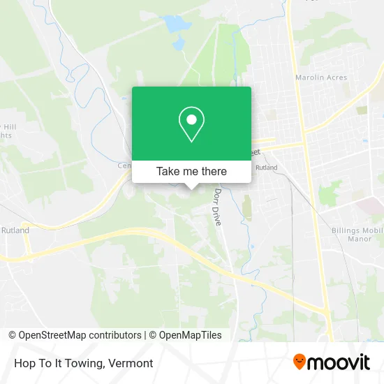
See Hop To It Towing, Rutland, on the map
Public Transit to Hop To It Towing in Rutland
Wondering how to get to Hop To It Towing in Rutland? Moovit helps you find the best way to get to Hop To It Towing with step-by-step directions from the nearest public transit station.
Moovit provides free maps and live directions to help you navigate through your city. View schedules, routes, timetables, and find out how long does it take to get to Hop To It Towing in real time.
Looking for the nearest stop or station to Hop To It Towing? Check out this list of stops closest to your destination: College Of St. Joseph; Ripley Road And Route 4 (Bennington Furniture); West St. & Cramton Ave.; Rutland.
Bus: FAIR HAVEN, MANCHESTER, PROCTOR, WEST.Train: ETHAN ALLEN EXPRESS.
Want to see if there’s another route that gets you there at an earlier time? Moovit helps you find alternative routes or times. Get directions from and directions to Hop To It Towing easily from the Moovit App or Website.
We make riding to Hop To It Towing easy, which is why over 1.5 million users, including users in Rutland, trust Moovit as the best app for public transit. You don’t need to download an individual bus app or train app, Moovit is your all-in-one transit app that helps you find the best bus time or train time available.
For information on prices of bus, costs and ride fares to Hop To It Towing, please check the Moovit app.
Use the app to navigate to popular places including to the airport, hospital, stadium, grocery store, mall, coffee shop, school, college, and university.
Hop To It Towing Address: Rutland, VT 05701 street in Rutland
- WW Weight Watchers,
- Waterguard Vermont,
- Rutland Town,
- Wendy MD Leffel Essential Wellness,
- Rutland Acupuncture Center,
- Whole Healing Bodyworks,
- Barrett Hill Salon,
- General Electric,
- Gene's Barber & Hairstyling Shop,
- Little Sparrow Learning Nest,
- Rutland Rubbish,
- PFS,
- Young's Spring,
- Grand Slam Tennis,
- Sarah Oudekerk,
- Beauty Shop by Bren's Girls,
- Rutland Town Fire Department,
- Dewey Field,
- Java News,
- Head Start Preschool Program
Places Near Hop To It Towing (Rutland)
- Rutland, VT, Rutland,
- Castleton, VT, Rutland,
- Xxxxxxxxxxxxx, Chittenden,
- Champlain Valley Exposition, Chittenden,
- WXXX, Chittenden,
- Springfield, VT, Windsor,
- Castleton University, Rutland,
- Ecco,
- Dartmouth-Hitchcock Medical Center, Clinical Systems, Grafton,
- Hannaford, Rutland,
- Canaan VT,
- GLOBALFOUNDRIES, Chittenden,
- Spring Step,
- MVU,
- Derby Line Stanstead Border Crossing,
- Sugarbush Resort,
- University of Vermont Medical Center - Fanny Allen Campus, Chittenden,
- National Life Group,
- Barre, VT,
- Hartland/Windsor Park and Ride, Windsor
How to get to popular places in Vermont with public transit
Get around Rutland by public transit!
Traveling around Rutland has never been so easy. See step by step directions as you travel to any attraction, street or major public transit station. View bus and train schedules, arrival times, service alerts and detailed routes on a map, so you know exactly how to get to anywhere in Rutland.
When traveling to any destination around Rutland use Moovit's Live Directions with Get Off Notifications to know exactly where and how far to walk, how long to wait for your line, and how many stops are left. Moovit will alert you when it's time to get off — no need to constantly re-check whether yours is the next stop.
Wondering how to use public transit in Rutland or how to pay for public transit in Rutland? Moovit public transit app can help you navigate your way with public transit easily, and at minimum cost. It includes public transit fees, ticket prices, and costs. Looking for a map of Rutland public transit lines? Moovit public transit app shows all public transit maps in Rutland with all Bus, Train and Ferry routes and stops on an interactive map.
Vermont has 3 transit type(s), including: Bus, Train and Ferry, operated by several transit agencies, including Green Mountain Transit, Wilmington MOOver, Advance Transit, Vermont Translines, Rockingham MOOver, The Bus (Marble Valley Regional Transit District), Green Mountain Express, Rural Community Transportation, Addison County Transit Resources, Stagecoach Transportation Services, Amtrak, Greyhound-us, Dartmouth Campus Connector and Lake Champlain Ferries