How to get to Hypesware by bus?
Click on the bus route to see step by step directions with maps, line arrival times and updated time schedules.
From The Shops At Atlas Park, Queens
64 minFrom E 77th St / Lexington Ave, Manhattan
58 minFrom Baruch College, Manhattan
81 minFrom NYC Diamond District, Manhattan
47 minFrom Jackson Heights, NY, Queens
69 minFrom 57th Street-7th Avenue, Manhattan
52 minFrom American Museum of Natural History, Manhattan
80 minFrom Costco Wholesale, Queens
83 minFrom North Bergen, NJ, North Bergen
89 min
How to get to Hypesware by train?
Click on the train route to see step by step directions with maps, line arrival times and updated time schedules.
How to get to Hypesware by subway?
Click on the subway route to see step by step directions with maps, line arrival times and updated time schedules.
Bus stops near Hypesware in Manhattan
Subway stations near Hypesware in Manhattan
Ferry station near Hypesware in Manhattan
- Dumbo/Fulton Ferry, 47 min walk,VIEW
Bus lines to Hypesware in Manhattan
What are the closest stations to Hypesware?
The closest stations to Hypesware are:
- Pike St/Cherry St is 68 yards away, 2 min walk.
- Madison St/Pike St is 142 yards away, 2 min walk.
- East Broadway/Pike St is 323 yards away, 4 min walk.
- East Broadway is 344 yards away, 5 min walk.
- Grand St is 492 yards away, 6 min walk.
- Bowery is 623 yards away, 8 min walk.
- Delancey St-Essex St is 1055 yards away, 13 min walk.
- Dumbo/Fulton Ferry is 3940 yards away, 47 min walk.
Which bus lines stop near Hypesware?
These bus lines stop near Hypesware: M103, M15, M22.
Which train line stops near Hypesware?
GRE (Hoboken - World Trade Center)
Which subway line stops near Hypesware?
F (Downtown & Brooklyn)
What’s the nearest subway station to Hypesware in Manhattan?
The nearest subway station to Hypesware in Manhattan is East Broadway. It’s a 5 min walk away.
What’s the nearest bus station to Hypesware in Manhattan?
The nearest bus stations to Hypesware in Manhattan are Pike St/Cherry St and Madison St/Pike St. The closest one is a 2 min walk away.
What time is the first subway to Hypesware in Manhattan?
The F is the first subway that goes to Hypesware in Manhattan. It stops nearby at 3:01 AM.
What time is the last subway to Hypesware in Manhattan?
The F is the last subway that goes to Hypesware in Manhattan. It stops nearby at 3:59 AM.
What time is the first bus to Hypesware in Manhattan?
The M15 is the first bus that goes to Hypesware in Manhattan. It stops nearby at 3:08 AM.
What time is the last bus to Hypesware in Manhattan?
The M15 is the last bus that goes to Hypesware in Manhattan. It stops nearby at 3:08 AM.
What time is the first ferry to Hypesware in Manhattan?
The ER is the first ferry that goes to Hypesware in Manhattan. It stops nearby at 6:35 AM.
What time is the last ferry to Hypesware in Manhattan?
The ER is the last ferry that goes to Hypesware in Manhattan. It stops nearby at 9:39 PM.
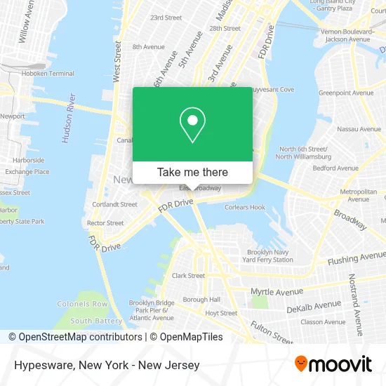
See Hypesware, Manhattan, on the map
Public Transit to Hypesware in Manhattan
Wondering how to get to Hypesware in Manhattan? Moovit helps you find the best way to get to Hypesware with step-by-step directions from the nearest public transit station.
Moovit provides free maps and live directions to help you navigate through your city. View schedules, routes, timetables, and find out how long does it take to get to Hypesware in real time.
Looking for the nearest stop or station to Hypesware? Check out this list of stops closest to your destination: Pike St/Cherry St; Madison St/Pike St; East Broadway/Pike St; East Broadway; Grand St; Bowery; Delancey St-Essex St; Dumbo/Fulton Ferry.
Bus: M103, M15, M22.Train: GRE.Subway: F, FX, B, D, J, M, Z, B39.Ferry: ER.
Want to see if there’s another route that gets you there at an earlier time? Moovit helps you find alternative routes or times. Get directions from and directions to Hypesware easily from the Moovit App or Website.
We make riding to Hypesware easy, which is why over 1.5 million users, including users in Manhattan, trust Moovit as the best app for public transit. You don’t need to download an individual bus app or train app, Moovit is your all-in-one transit app that helps you find the best bus time or train time available.
For information on prices of subway, bus and train, costs and ride fares to Hypesware, please check the Moovit app.
Use the app to navigate to popular places including to the airport, hospital, stadium, grocery store, mall, coffee shop, school, college, and university.
Hypesware Address: 75 Pike St street in Manhattan
- Amazon Locker - Arjun,
- Rutgers Houses - NYCHA,
- Proc Marketing,
- Two Bridges,
- Metatron Concepts, Llc,
- Les Coleman Skatepark,
- Les Skatepark (Les Skate Park),
- Salafi_Skate_Wax,
- K.D.S Developers,
- Pankratova Photography,
- Larry Mark,
- Videforex Trading Group,
- Trendsphere,
- Evans Kate Angelina,
- Dancini Katherine,
- Prca Prorodeo,
- Elisabeth Shields,
- Bshow43,
- Brooklyn Fare,
- Go Ez Discount, Inc.
Places Near Hypesware (Manhattan)
- Times Square, Manhattan,
- Bellevue Hospital, Manhattan,
- Rockefeller Center, Manhattan,
- 1 Police Plaza, Manhattan,
- Chinatown, Manhattan,
- 3 Stone St, Manhattan,
- SoHo, Manhattan,
- 111 Centre New York City Supreme Court, Manhattan,
- 26 Federal Plaza, Manhattan,
- qqqq, Manhattan,
- 66 John Street, Manhattan,
- 911 Memorial, Manhattan,
- Hudson Yards, Manhattan,
- Pier 83, Manhattan,
- 376 Hudson Street, Manhattan,
- Queens Center Mall, Queens,
- Katz's Deli, Manhattan,
- San Gennaro Feast, Manhattan,
- Mountainside Hospital, Glen Ridge,
- Wall Street, Manhattan
How to get to popular places in New York - New Jersey with public transit
Get around Manhattan by public transit!
Traveling around Manhattan has never been so easy. See step by step directions as you travel to any attraction, street or major public transit station. View bus and train schedules, arrival times, service alerts and detailed routes on a map, so you know exactly how to get to anywhere in Manhattan.
When traveling to any destination around Manhattan use Moovit's Live Directions with Get Off Notifications to know exactly where and how far to walk, how long to wait for your line, and how many stops are left. Moovit will alert you when it's time to get off — no need to constantly re-check whether yours is the next stop.
Wondering how to use public transit in Manhattan or how to pay for public transit in Manhattan? Moovit public transit app can help you navigate your way with public transit easily, and at minimum cost. It includes public transit fees, ticket prices, and costs. Looking for a map of Manhattan public transit lines? Moovit public transit app shows all public transit maps in Manhattan with all Bus, Train, Subway, Light Rail, Ferry and Cable Car routes and stops on an interactive map.
New York - New Jersey has 6 transit type(s), including: Bus, Train, Subway, Light Rail, Ferry and Cable Car, operated by several transit agencies, including MTA Subway, Metro-North Railroad, LIRR, PATH, MTA New York City Transit - Express routes, MTA Bus, NJ Transit, NYC Ferry, NICE bus, Bee-Line Bus, NJ Transit Rail, Norwalk Transit District, Hartford Line, River Valley Transit and HART