Directions to Hystech (Xaxim) with public transportation
The following transit lines have routes that pass near Hystech
How to get to Hystech by bus?
Click on the bus route to see step by step directions with maps, line arrival times and updated time schedules.
From Hospital De Olhos Do Paraná, Batel
56 minFrom Batel, Batel
46 minFrom Rua Carlos de Carvalho 1286, Batel
56 minFrom Hospital e Maternidade Santa Cruz, Centro
46 minFrom Terminal Tatuquara, Tatuquara
48 minFrom Estação Tubo Brigadeiro Franco, Centro
47 minFrom Rua Amintas de Barros, Centro
45 minFrom Rua Luiz França, Cajuru
46 minFrom Hospital Universitário Evangélico Mackenzie, Bigorrilho
54 minFrom Passeio Público, Centro
43 min
Bus stops near Hystech in Xaxim
Bus lines to Hystech in Xaxim
- 522 MARINGÁ, Maringá → Terminal Carmo,VIEW
- 629 ALTO BOQUEIRÃO, Alto Boqueirão → Terminal Capão Raso,VIEW
- 030 INTERBAIRROS III, Terminal Santa Cândida → Terminal Capão Raso,VIEW
- 513 HAUER / BOQUEIRÃO, Terminal Hauer → Terminal Boqueirão,VIEW
- 519 MAD. SÃO FRANCISCO / IGUAPE, Terminal Hauer ↺ São Francisco / Iguape (Circular),VIEW
What are the closest stations to Hystech?
The closest stations to Hystech are:
- R. Francisco Derosso, 3200 is 73 meters away, 2 min walk.
- R. Waldemar Loureiro Campos, 4126 is 617 meters away, 8 min walk.
- R. Cristiano Strobel, 2320 is 1143 meters away, 15 min walk.
- R. David Tows, 535 is 1144 meters away, 15 min walk.
Which bus lines stop near Hystech?
These bus lines stop near Hystech: 030 INTERBAIRROS III, 522 MARINGÁ, 629 ALTO BOQUEIRÃO.
What’s the nearest bus station to Hystech in Xaxim?
The nearest bus station to Hystech in Xaxim is R. Francisco Derosso, 3200. It’s a 2 min walk away.
What time is the first bus to Hystech in Xaxim?
The 519 MAD. SÃO FRANCISCO / IGUAPE is the first bus that goes to Hystech in Xaxim. It stops nearby at 3:29 AM.
What time is the last bus to Hystech in Xaxim?
The 519 MAD. SÃO FRANCISCO / IGUAPE is the last bus that goes to Hystech in Xaxim. It stops nearby at 2:29 AM.
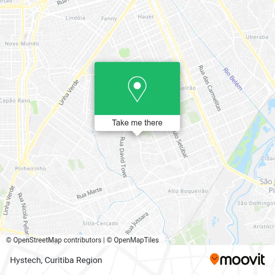
See Hystech, Xaxim, on the map
Public Transit to Hystech in Xaxim
Wondering how to get to Hystech in Xaxim? Moovit helps you find the best way to get to Hystech with step-by-step directions from the nearest public transit station.
Moovit provides free maps and live directions to help you navigate through your city. View schedules, routes, timetables, and find out how long does it take to get to Hystech in real time.
Looking for the nearest stop or station to Hystech? Check out this list of stops closest to your destination: R. Francisco Derosso; R. Waldemar Loureiro Campos; R. Cristiano Strobel; R. David Tows.
Bus: 030 INTERBAIRROS III, 522 MARINGÁ, 629 ALTO BOQUEIRÃO, 513 HAUER / BOQUEIRÃO, 519 MAD. SÃO FRANCISCO / IGUAPE.
Want to see if there’s another route that gets you there at an earlier time? Moovit helps you find alternative routes or times. Get directions from and directions to Hystech easily from the Moovit App or Website.
We make riding to Hystech easy, which is why over 1.5 million users, including users in Xaxim, trust Moovit as the best app for public transit. You don’t need to download an individual bus app or train app, Moovit is your all-in-one transit app that helps you find the best bus time or train time available.
For information on prices of bus, costs and ride fares to Hystech, please check the Moovit app.
Use the app to navigate to popular places including to the airport, hospital, stadium, grocery store, mall, coffee shop, school, college, and university.
Hystech Address: Rua Francisco Derosso, 3241 Xaxim Curitiba-PR 81720-000 street in Xaxim
- Direto da Fonte,
- Versatil Transportes,
- Banco Santander Brasil,
- Tradicionalli,
- Npe Nelson Promoções e Eventos,
- Lorenzza Vogue Comércio de Roupa,
- Hd Construcoes e Empreendimentos,
- Janaina de Cassia Imthurm Kwiatkowski,
- Rua Francisco Derosso,
- Escola de Futebol Tostão,
- Rua Francisco Derosso, 3140 - Xaxim,
- Stefany Home / Financeiro,
- Esporte Clube Olímpico,
- Hiper Condor,
- Balaroti,
- Escola de Futebol Tostão-Coritiba Football Club,
- Bar da Mara,
- Casa China,
- Clinica Hadash,
- Transportes Rodoviarios Transpal
Places Near Hystech (Xaxim)
- Campo Largo, Campo,
- Jardim Botânico de Curitiba PR, Centro,
- Hospital do Rocio, Campo,
- Hospital Da Cruz Vermelha, Batel,
- Parque Barigui, Mercês,
- Park Shopping Barigüi, Mossunguê,
- Pontifícia Universidade Católica do Paraná (PUCPR), Prado Velho,
- Hospital Universitário Evangélico de Curitiba, Bigorrilho,
- Hospital de Clínicas (HC - UFPR), Centro,
- Rua Martim Afonso 558, Mercês,
- Hhhhh, Fazendinha,
- Hospital Angelina Caron, Campina Grande Do Sul,
- Jockey Plaza Shopping Center, Tarumã,
- Arena Da Baixada - Curitiba,
- Rua General Mário Tourinho, Campina Do Siqueira,
- Shopping Palladium, Portão,
- Hospital Madalena Sofia, Bairro Alto,
- Shopping Estação, Rebouças,
- Hospital Erasto Gaertner, Jardim Das Américas,
- Hospital Nossa Senhora Das Graças, Mercês
How to get to popular places in Curitiba Region with public transit
Get around Xaxim by public transit!
Traveling around Xaxim has never been so easy. See step by step directions as you travel to any attraction, street or major public transit station. View bus and train schedules, arrival times, service alerts and detailed routes on a map, so you know exactly how to get to anywhere in Xaxim.
When traveling to any destination around Xaxim use Moovit's Live Directions with Get Off Notifications to know exactly where and how far to walk, how long to wait for your line, and how many stops are left. Moovit will alert you when it's time to get off — no need to constantly re-check whether yours is the next stop.
Wondering how to use public transit in Xaxim or how to pay for public transit in Xaxim? Moovit public transit app can help you navigate your way with public transit easily, and at minimum cost. It includes public transit fees, ticket prices, and costs. Looking for a map of Xaxim public transit lines? Moovit public transit app shows all public transit maps in Xaxim with all Bus and Cable Car routes and stops on an interactive map.
Curitiba Region has 2 transit type(s), including: Bus and Cable Car, operated by several transit agencies, including Sistema Integrado de Mobilidade (URBS), Sistema Integrado de Mobilidade (AMEP), URBS (Cartões bancários e Dinheiro), URBS (Cartões bancários / Cartão URBS), AMEP (Cartões bancários / Cartão MetroCard), AMEP (Cartões bancários / Cartão MetroCard / Dinheiro), Viação Colombo (Dinheiro), TRIAR (Cartão TRIAR / Dinheiro), Empresa Curitiba Cerro Azul (Dinheiro), Expresso Nossa Senhora da Penha (Dinheiro), Empresa Campo Alto Tijucas (Dinheiro), Auto Viação São José (Cartão VEM / Dinheiro), BRT S/A (Cartão VEM / Dinheiro), TransPiedade (Cartão Cidadão / Dinheiro) and Oceânica Sul (Cartão Transporte / Dinheiro)