Directions to ING Bank (Nilüfer) with public transportation
The following transit lines have routes that pass near ING Bank
 Bus: 401/H, 5B, 5E, 5G, 7A.
- Metro: 2.
- Cable Car: GÖRÜKLE MINIBÜSLERI - TOKİ, GÖRÜKLE MINIBÜSLERI (KÖY).
How to get to ING Bank by bus?
Click on the bus route to see step by step directions with maps, line arrival times and updated time schedules.
From Moda Davet, Nilüfer
60 minFrom Bursa Tofaş Fen Lisesi, Nilüfer
53 minFrom Nilüfer Belediyesi, Nilüfer
48 minFrom 2/U Mudanya - Uludağ Üniv., Nilüfer
68 minFrom Özlüce Davet, Nilüfer
43 minFrom Tahtalı Köy, Nilüfer
57 minFrom ÖzdilekPark Bursa Nilüfer, Nilüfer
44 minFrom Ahmet Taner Kışlalı Bulvarı, Nilüfer
44 minFrom Özlüce, Nilüfer
51 minFrom Özdilek Park, Nilüfer
44 min
Cable Car station near ING Bank in Nilüfer
- Tamek Nilüfer Depo, 3 min walk,VIEW
Bus stop near ING Bank in Nilüfer
- Gökçe Yol Ayrımı, 13 min walk,VIEW
Bus lines to ING Bank in Nilüfer
What are the closest stations to ING Bank?
The closest stations to ING Bank are:
- Tamek Nilüfer Depo is 203 meters away, 3 min walk.
- Gökçe Yol Ayrımı is 934 meters away, 13 min walk.
Which bus line stops near ING Bank?
401/H (Uludağ Üniversitesi İstasyonu)
Which metro line stops near ING Bank?
2 (Uludağ Üniversite)
Which cable car lines stop near ING Bank?
These cable car lines stop near ING Bank: GÖRÜKLE MINIBÜSLERI - TOKİ, GÖRÜKLE MINIBÜSLERI (KÖY).
What’s the nearest bus station to ING Bank in Nilüfer?
The nearest bus station to ING Bank in Nilüfer is Gökçe Yol Ayrımı. It’s a 13 min walk away.
What’s the nearest cable car station to ING Bank in Nilüfer?
The nearest cable car station to ING Bank in Nilüfer is Tamek Nilüfer Depo. It’s a 3 min walk away.
What time is the first bus to ING Bank in Nilüfer?
The 7A is the first bus that goes to ING Bank in Nilüfer. It stops nearby at 6:42 AM.
What time is the last bus to ING Bank in Nilüfer?
The 7A is the last bus that goes to ING Bank in Nilüfer. It stops nearby at 12:36 AM.
What time is the first cable car to ING Bank in Nilüfer?
The GÖRÜKLE MINIBÜSLERI (KÖY) is the first cable car that goes to ING Bank in Nilüfer. It stops nearby at 7:14 AM.
What time is the last cable car to ING Bank in Nilüfer?
The GÖRÜKLE MINIBÜSLERI (KÖY) is the last cable car that goes to ING Bank in Nilüfer. It stops nearby at 7:50 PM.
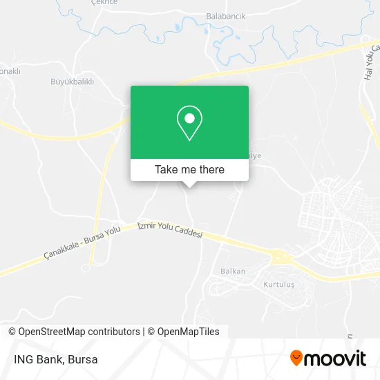
See ING Bank, Nilüfer, on the map
Public Transit to ING Bank in Nilüfer
Wondering how to get to ING Bank in Nilüfer? Moovit helps you find the best way to get to ING Bank with step-by-step directions from the nearest public transit station.
Moovit provides free maps and live directions to help you navigate through your city. View schedules, routes, timetables, and find out how long does it take to get to ING Bank in real time.
Looking for the nearest stop or station to ING Bank? Check out this list of stops closest to your destination: Tamek Nilüfer Depo; Gökçe Yol Ayrımı.
Bus: 401/H, 5B, 5E, 5G, 7A, 7B.Metro: 2.Cable Car: GÖRÜKLE MINIBÜSLERI - TOKİ, GÖRÜKLE MINIBÜSLERI (KÖY).
Want to see if there’s another route that gets you there at an earlier time? Moovit helps you find alternative routes or times. Get directions from and directions to ING Bank easily from the Moovit App or Website.
We make riding to ING Bank easy, which is why over 1.5 million users, including users in Nilüfer, trust Moovit as the best app for public transit. You don’t need to download an individual bus app or train app, Moovit is your all-in-one transit app that helps you find the best bus time or train time available.
For information on prices of cable car, metro and bus, costs and ride fares to ING Bank, please check the Moovit app.
Use the app to navigate to popular places including to the airport, hospital, stadium, grocery store, mall, coffee shop, school, college, and university.
ING Bank Address: 16250 İrfaniye, Nilüfer street in Nilüfer
- Harput Tekstil,
- Harput Holding(Harput Tekstil),
- Turkas Amortisör,
- harput Brode,
- İrfaniye Mahallesi,
- Atasoy Tavukculuk,
- Hastavuk Gökçeköy Yarka Tesisi,
- Gökçeköy,
- Kolisan Ambalaj San.Tic.A.Ş,
- Kolisan Ambalaj,
- A•101 Bursa Bölge Müdürlüğü,
- A101 Depo,
- Hasanağa Piknik Alanı,
- AŞM CAM GERİ DÖNÜŞÜM SANAYİ VE TİCARET A.Ş,
- BLG Masif Panel A.Ş,
- AZT OTOMOTİV LTD ŞTİ,
- Arda Halı Yıkama,
- Yerliyurt Marin,
- Ciğerci Adem Baba,
- Esarj
Places Near ING Bank (Nilüfer)
- Podyum Park, Nilüfer,
- Sur Yapı Marka Avm, Osmangazi,
- Şevket Yılmaz Eğitim ve Araştırma Hastanesi, Yıldırım,
- Bursa Hayvanat Bahçesi, Osmangazi,
- Nilüfer Ağız ve Diş Sağlığı Merkezi, Nilüfer,
- Ali Osman Sönmez Onkoloji Hastanesi, Osmangazi,
- Bursa, Osmangazi,
- Bursa Teleferik, Yıldırım,
- bursa mudanya, Mudanya,
- FSM Bulvarı, Nilüfer,
- Millet Mahallesi,
- Sur Yapı Marka, Nilüfer,
- Bursa Terminal, Nilüfer,
- Mustafakemalpaşa Karacabey Dolmuş Durağı, Mustafakemalpaşa,
- Bursa Yüksek İhtisas Eğitim ve Araştırma Hastanesi Nilüfer Ek Binası, Nilüfer,
- Bursa Cumalıkızık Köyü, Osmangazi,
- ÖzdilekPark Bursa Nilüfer, Nilüfer,
- Dörtçelik Çocuk Hastanesi, Nilüfer,
- Çekirge Devlet Hastanesi Otobüs Durağı, Osmangazi,
- Şehir Hastanesi, Nilüfer
How to get to popular places in Bursa with public transit
Get around Nilüfer by public transit!
Traveling around Nilüfer has never been so easy. See step by step directions as you travel to any attraction, street or major public transit station. View bus and train schedules, arrival times, service alerts and detailed routes on a map, so you know exactly how to get to anywhere in Nilüfer.
When traveling to any destination around Nilüfer use Moovit's Live Directions with Get Off Notifications to know exactly where and how far to walk, how long to wait for your line, and how many stops are left. Moovit will alert you when it's time to get off — no need to constantly re-check whether yours is the next stop.
Wondering how to use public transit in Nilüfer or how to pay for public transit in Nilüfer? Moovit public transit app can help you navigate your way with public transit easily, and at minimum cost. It includes public transit fees, ticket prices, and costs. Looking for a map of Nilüfer public transit lines? Moovit public transit app shows all public transit maps in Nilüfer with all Bus, Metro, Light Rail, Cable Car and Gondola routes and stops on an interactive map.
Bursa has 5 transit type(s), including: Bus, Metro, Light Rail, Cable Car and Gondola, operated by several transit agencies, including BursaRay, BurTram, BBBUS, Burulaş, Minibüs, İlçe Otobüsleri and Bursa Teleferik