How to get to INTERMARCHÉ by train?
Click on the train route to see step by step directions with maps, line arrival times and updated time schedules.
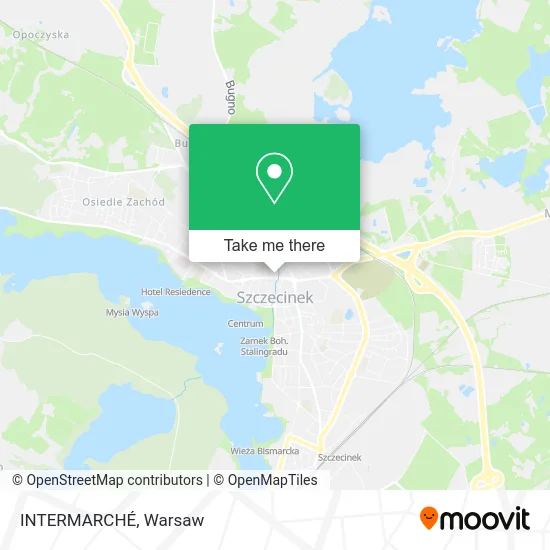
Train stations near INTERMARCHÉ in Warsaw
What are the closest stations to INTERMARCHÉ?
The closest stations to INTERMARCHÉ are:
- Szczecinek Chyże is 1000 meters away, 13 min walk.
- Szczecinek is 2331 meters away, 31 min walk.
Which train lines stop near INTERMARCHÉ?
These train lines stop near INTERMARCHÉ: IC 1830, REG, REG 0.
What’s the nearest train station to INTERMARCHÉ in Warsaw?
The nearest train station to INTERMARCHÉ in Warsaw is Szczecinek Chyże. It’s a 13 min walk away.
What time is the first train to INTERMARCHÉ in Warsaw?
The REG is the first train that goes to INTERMARCHÉ in Warsaw. It stops nearby at 4:10 AM.
What time is the last train to INTERMARCHÉ in Warsaw?
The REG is the last train that goes to INTERMARCHÉ in Warsaw. It stops nearby at 11:27 PM.
See INTERMARCHÉ, Warsaw, on the map
Public Transit to INTERMARCHÉ in Warsaw
Wondering how to get to INTERMARCHÉ in Warsaw? Moovit helps you find the best way to get to INTERMARCHÉ with step-by-step directions from the nearest public transit station.
Moovit provides free maps and live directions to help you navigate through your city. View schedules, routes, timetables, and find out how long does it take to get to INTERMARCHÉ in real time.
Looking for the nearest stop or station to INTERMARCHÉ? Check out this list of stops closest to your destination: Szczecinek Chyże; Szczecinek.
Train: IC 1830, REG, REG 0, IC 3804, IC 3806, IC 3810, IC 3812.
Want to see if there’s another route that gets you there at an earlier time? Moovit helps you find alternative routes or times. Get directions from and directions to INTERMARCHÉ easily from the Moovit App or Website.
We make riding to INTERMARCHÉ easy, which is why over 1.5 million users, including users in Warsaw, trust Moovit as the best app for public transit. You don’t need to download an individual bus app or train app, Moovit is your all-in-one transit app that helps you find the best bus time or train time available.
For information on prices of train and bus, costs and ride fares to INTERMARCHÉ, please check the Moovit app.
Use the app to navigate to popular places including to the airport, hospital, stadium, grocery store, mall, coffee shop, school, college, and university.
INTERMARCHÉ Address: ulica Jana Pawła II 5, 78-400 Szczecinek street in Warsaw
- Umberto,
- Ts o/Koszalin 08,
- Przedsiebiorstwo Handlowo Uslugowe Pama,
- Firma Gastronomiczna,
- Handel Wielobranżowy Czesława Radomska,
- Usługowy Zakład Instalatorsko Budowlany Janusz Rosiński,
- Agencja Handlowo Usługowa Mak Krzysztof Marewski,
- Pralnia Pacyfik,
- ul. Szewska,
- ul. Jana Pawła II,
- Uslugi Transportowo Handlowe,
- Agent Ubezpieczeniowy Eleonora Umiastowska,
- Szeląg Wiesław. Doradztwo Podatkowe,
- Stowarzyszenie Klub Drzewny,
- 1 Maja /Jana Pawła II,
- Narek Suren Minasyan,
- Stowarzyszenie Przyjaciół Zespołu Szkół nr 2 w Szczecinku Warcisław,
- Szkoła Branżowa I Stopnia nr 2 z Oddziałami Integracyjnymi,
- Ośrodek Dokształcania Zawodowego,
- ul. Rzeczna
Places Near INTERMARCHÉ (Warsaw)
- Galeria Północna, Warsaw,
- Szpital Czerniakowski, Warsaw,
- Szpital Bielański, Warsaw,
- Centralny Szpital Kliniczny MSWiA ul. Wołoska, Warsaw,
- Stare Miasto, Warsaw,
- PGE Narodowy, Warsaw,
- Galeria Mokotów, Warsaw,
- Banacha - Szpital Kliniczny, Warsaw,
- Sejm Rp, Warsaw,
- Postępu, Warsaw,
- Szpital Orłowskiego, Warsaw,
- Instytut Kardiologii w Aninie, Warsaw,
- Wołoska, Warsaw,
- CH Arkadia, Warsaw,
- Szpital Spartanska, Warsaw,
- Domaniewska, Warsaw,
- Wołoska-Szpital 01, Warsaw,
- Torwar, Warsaw,
- Szaserów - Szpital, Warsaw,
- Cmentarz Bródnowski, Warsaw
How to get to popular places in Warsaw with public transit
Get around Warsaw by public transit!
Traveling around Warsaw has never been so easy. See step by step directions as you travel to any attraction, street or major public transit station. View bus and train schedules, arrival times, service alerts and detailed routes on a map, so you know exactly how to get to anywhere in Warsaw.
When traveling to any destination around Warsaw use Moovit's Live Directions with Get Off Notifications to know exactly where and how far to walk, how long to wait for your line, and how many stops are left. Moovit will alert you when it's time to get off — no need to constantly re-check whether yours is the next stop.
Wondering how to use public transit in Warsaw or how to pay for public transit in Warsaw? Moovit public transit app can help you navigate your way with public transit easily, and at minimum cost. It includes public transit fees, ticket prices, and costs. Looking for a map of Warsaw public transit lines? Moovit public transit app shows all public transit maps in Warsaw with all Bus, Train, Metro, Light Rail, Ferry and Cable Car routes and stops on an interactive map.
Warsaw has 6 transit type(s), including: Bus, Train, Metro, Light Rail, Ferry and Cable Car, operated by several transit agencies, including Warszawski Transport Publiczny, Warszawska Kolej Dojazdowa, Koleje Mazowieckie, ZTP Kraków, Miasto Piastów, Miasto Ząbki, Koleje Małopolskie, Komunikacja Miejska Łomianki, Gmina Pruszków, MPK Wrocław, MZDiK Radom, UM w Grodzisku Mazowieckim, UM w Nowym Dworze Mazowieckim, UM Płońsk and Koleje Dolnośląskie